
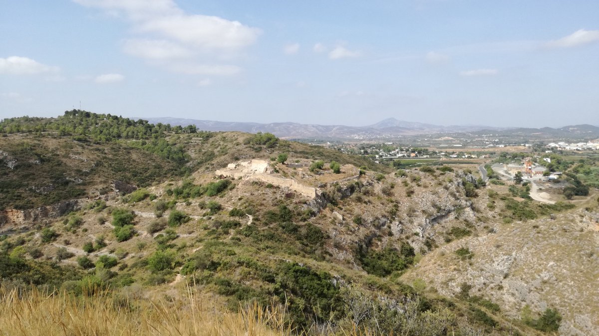
The Iberian settlement of Pico de los Ajos was situated at 1,086 metres on the Sierra Martés in the municipality of Yátova. This oppidum covered approximately 7 hectares across two contiguous plateaus joined by a narrow isthmus containing a cistern. Archaeological evidence shows that the settlement was fully functional during the 4th century BC and was eventually abandoned in the 1st century BC. It served as a strategic point overlooking the fertile land and the Magro River valley, which acted as a communication route to nearby settlements.
Prospections of the site reveal a main street running through the center of the settlement, lined with houses and parts of the perimeter wall. The most robust part of the wall is located on the southeast side, where the terrain is less steep. In this area, the wall is completed by an advanced tower with a base up to 1.8 metres high. In front of this tower, a trench was carved into the geological substrate, measuring 6.25 metres in length, between 2.8 and 5 metres in width, and between 2 and 3 metres in depth. This trench, accessible from the outside via wooden walkways, served a dual purpose as a defensive moat and as a quarry for construction materials.
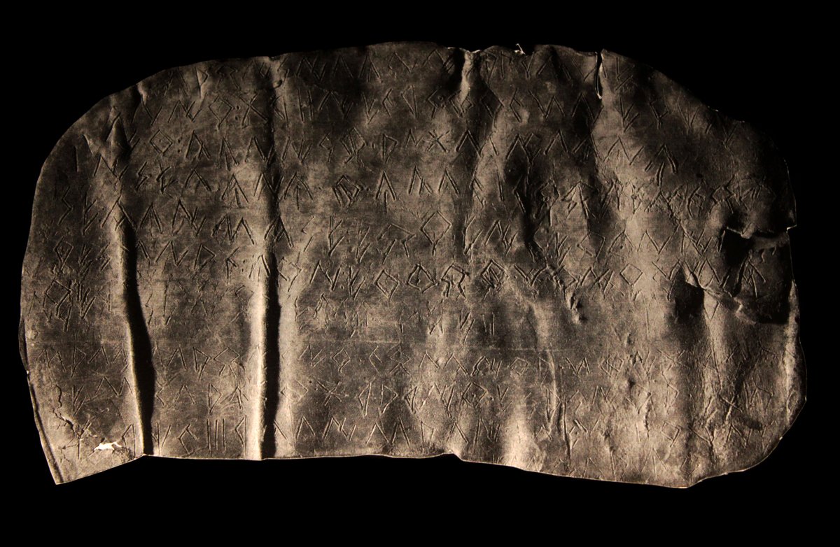
From the trench to the main gate, a narrow path ran parallel to the defenses to reinforce control over entry. The economic prosperity of the inhabitants is evident from the presence of Attic and Phoenician imported ceramics, as well as high-quality local pottery like the Vaso de los hipocampos. The site also contained administrative and judicial documents in the form of lead tablets inscribed in the Oriental Iberian alphabet. Today, the site is a protected archaeological zone, though it has suffered from a significant process of looting over the years.
Sources: Wikipedia, OpenStreetMap, Wikidata, Wikimedia Commons
Written by Nicolo Ciampini
Discuss this with the author and others
No comments yet. Be the first to start the conversation.