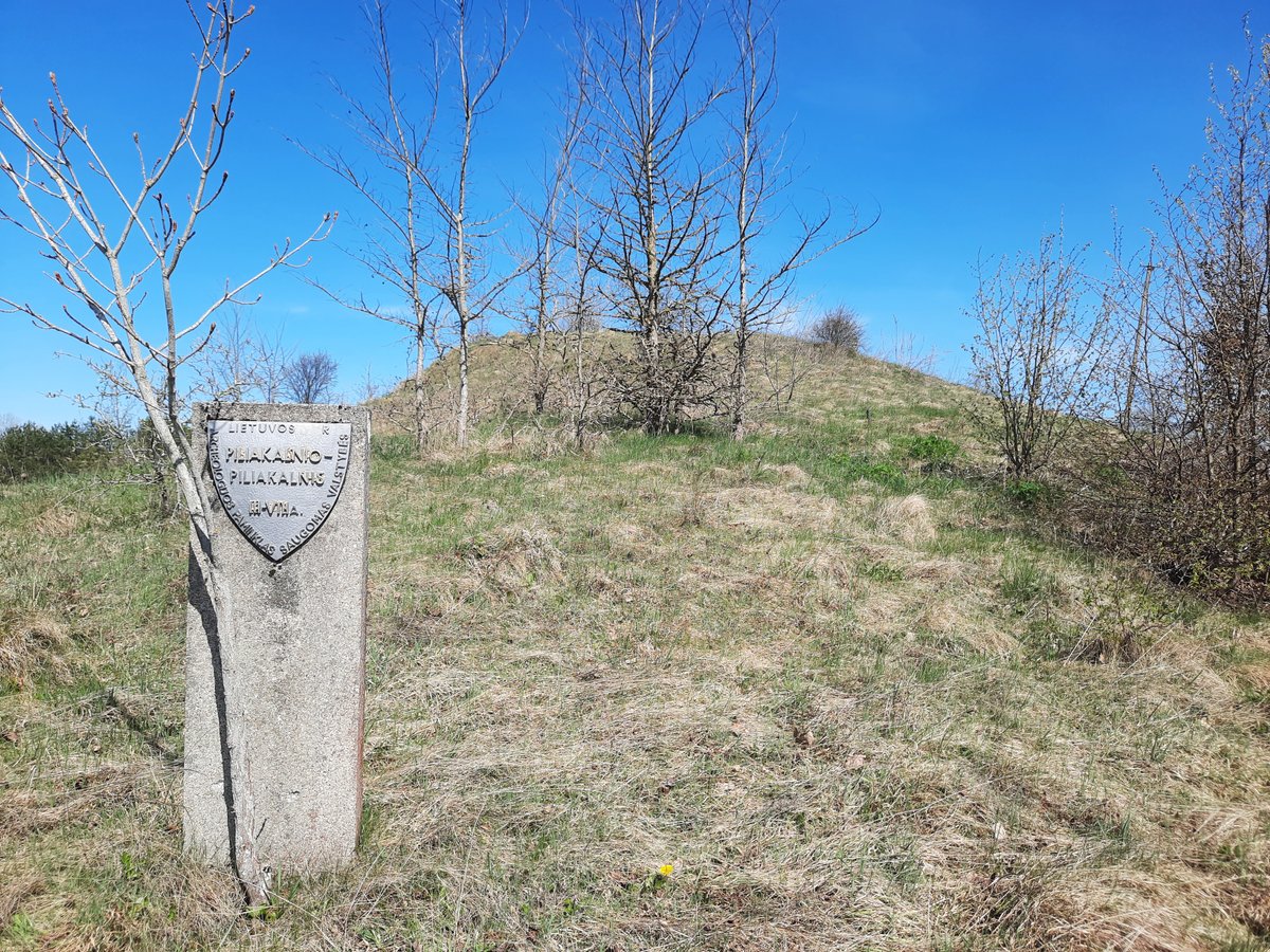

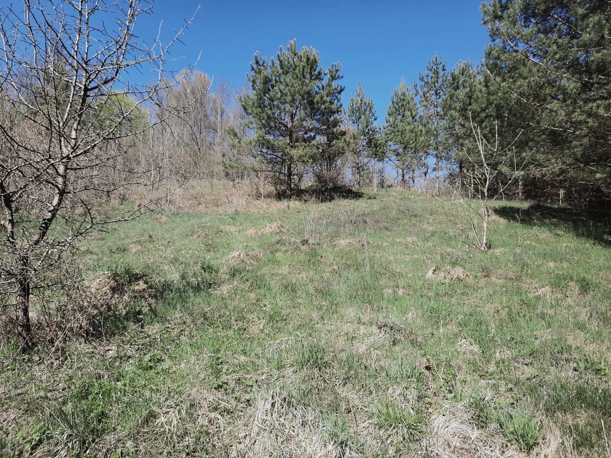
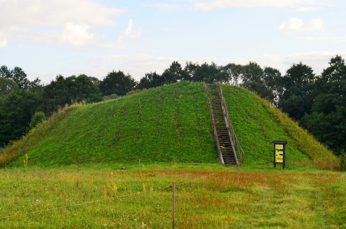
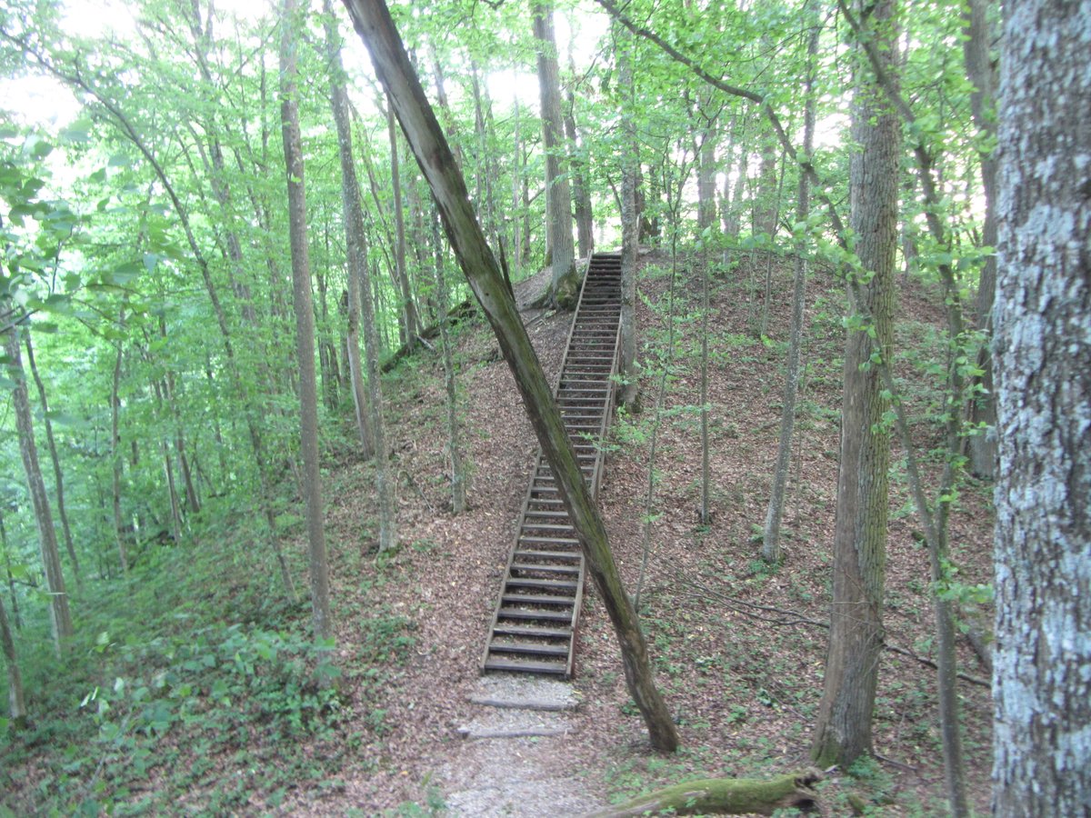
What kind of history is buried under Piliakalnio? This hillfort sits on a mound with a circular clearing measuring roughly 19 metres across. Do you see the rampart along the north and west sides? It reaches 0.4 metres in height and 6 metres in width. What is the deal with the slopes? They have a medium steepness and artificial embankments reaching 4 metres high and 2 metres wide at the top.
When did this place get its official status? It was recognized as a state-protected monument on April 29, 2005. Why does it look so battered? The site has been scarred by plowing and even has a triangulation mark in the clearing. Is it really that small? The total area is 6,100 square metres with a physical protection zone of 4,000 square metres.
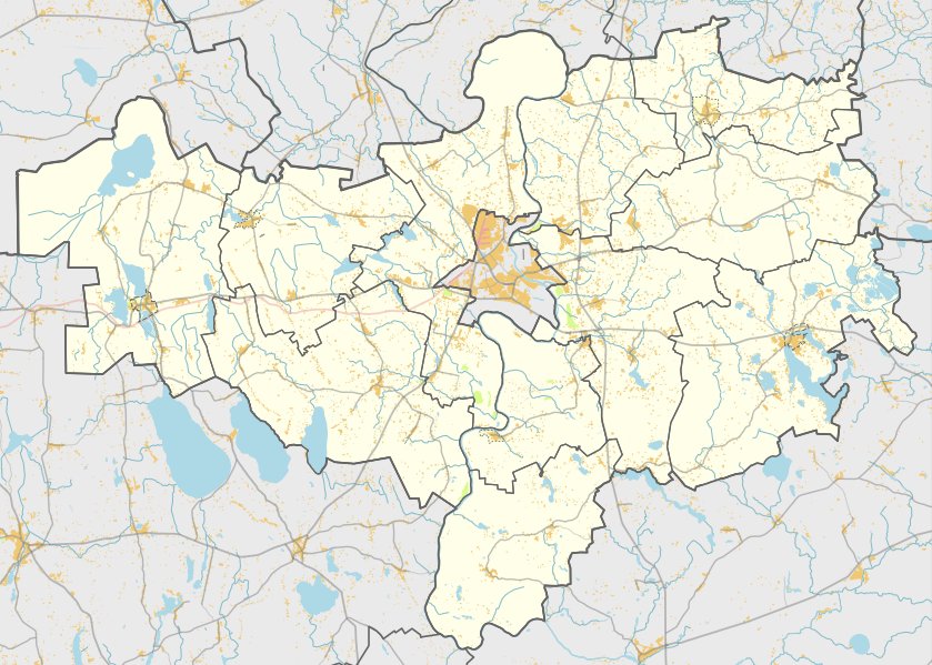
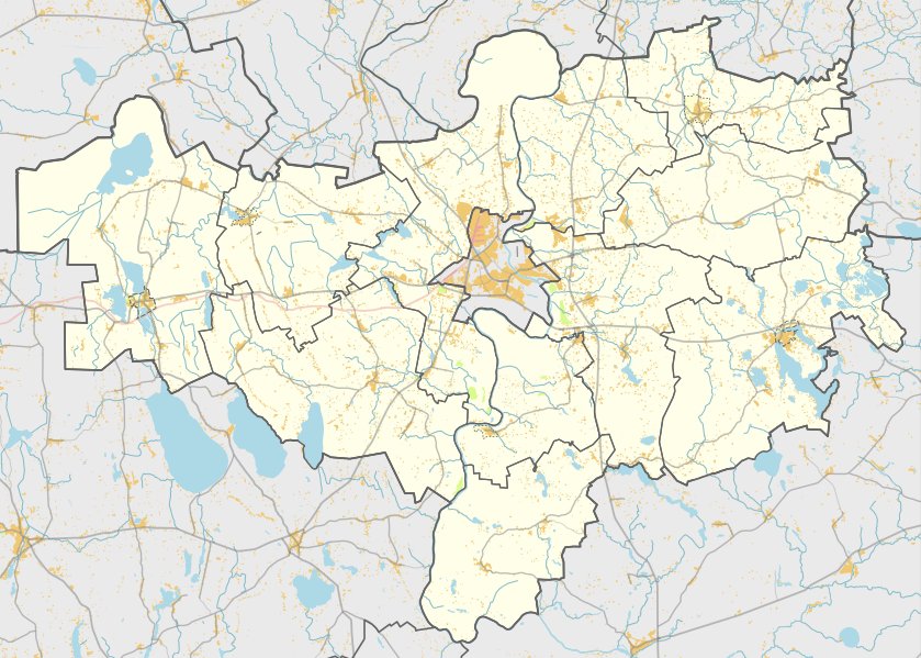
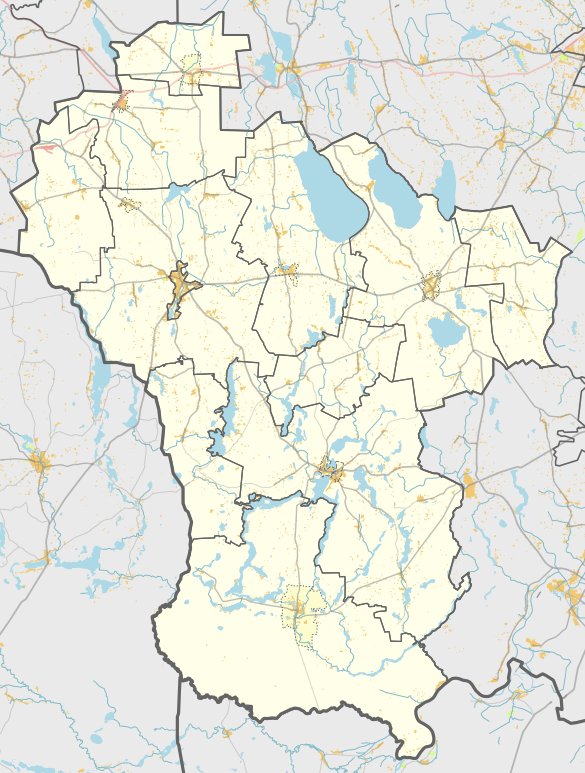
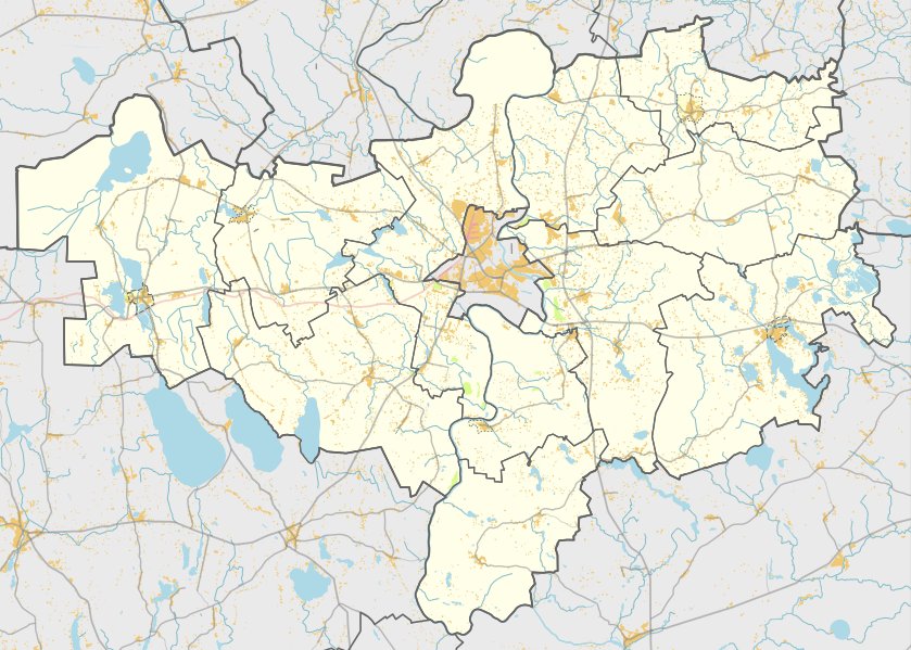
What did the people on the western slope leave behind? A settlement of 0.1 hectares holds pottery with striated patterns. Where exactly can you find it? It is in the village of Piliakalnis in the Alytus district. Can you find the road? It is between Makniūnai and Vabaliai on the left side, right opposite a farmhouse.
Sources: Wikipedia, OpenStreetMap, Wikidata, Wikimedia Commons
Written by Nicolo Ciampini
Discuss this with the author and others
No comments yet. Be the first to start the conversation.