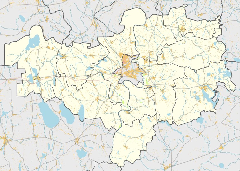

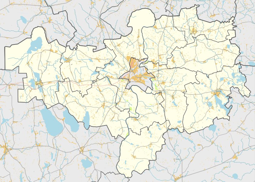
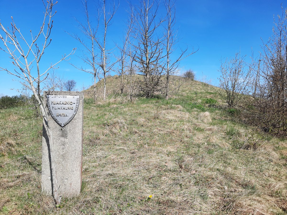
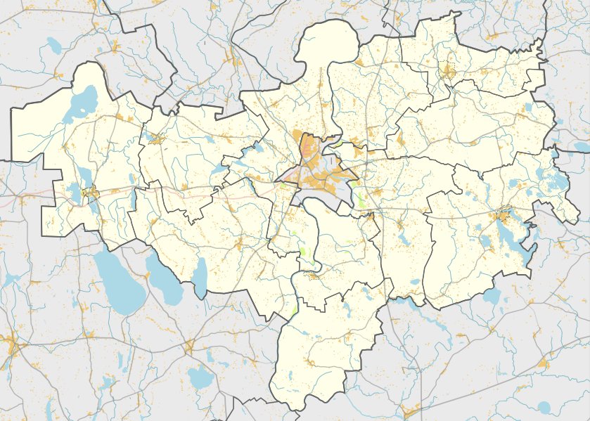
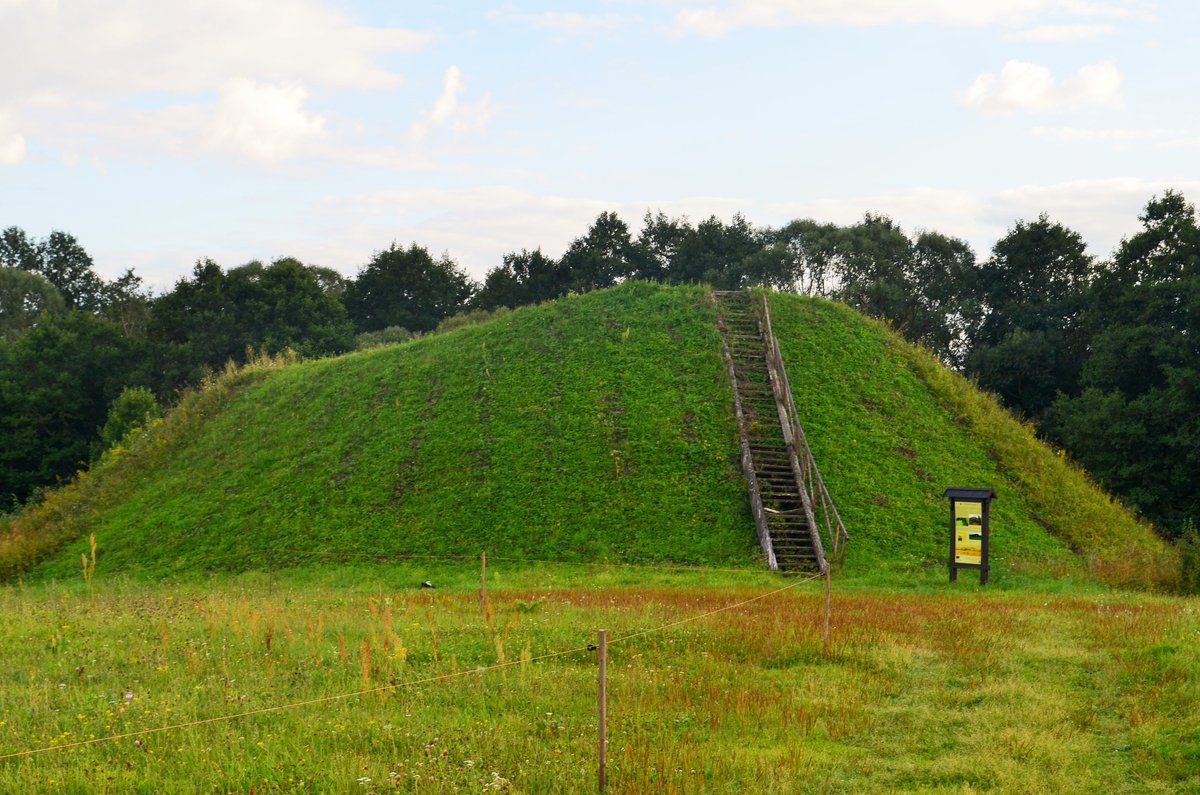
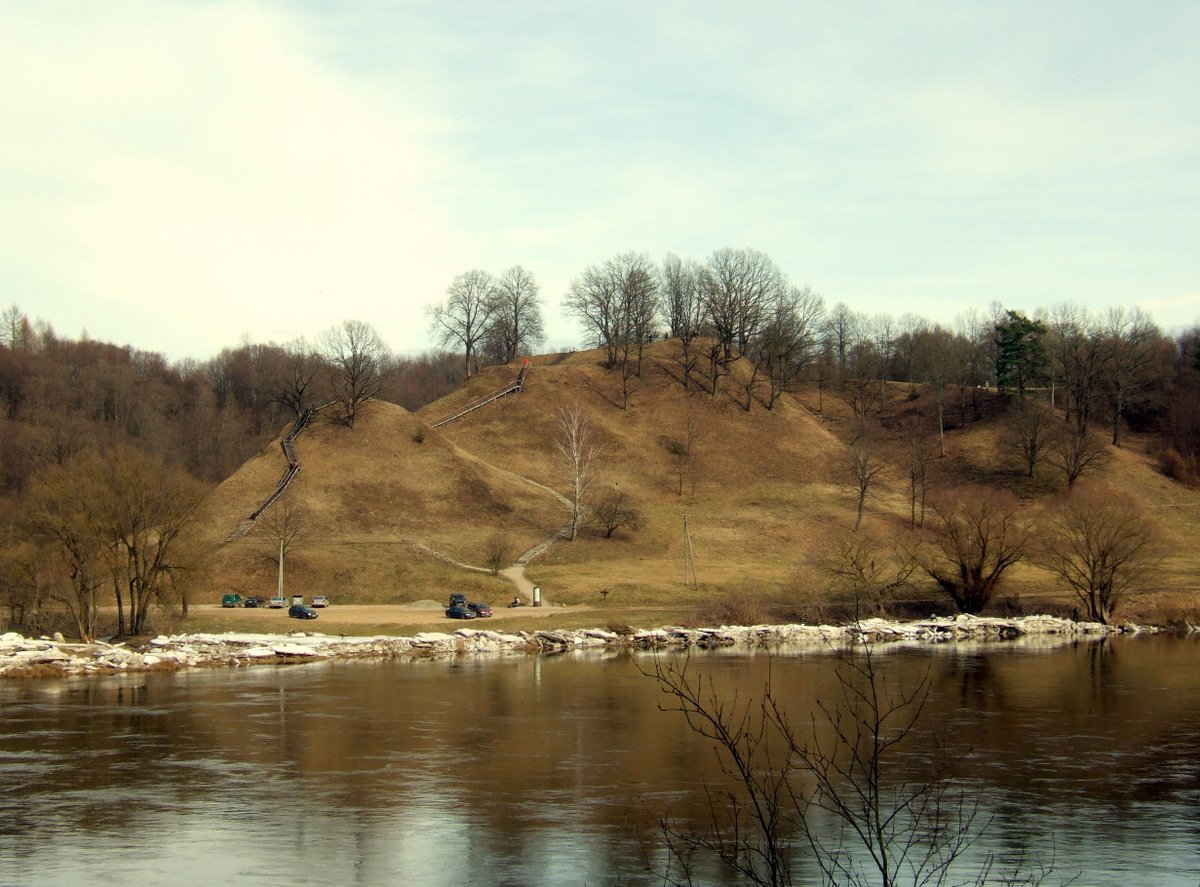
Nemunaičio piliakalnis is a hillfort located on the right bank of the Nemunas River in the Alytus district. It is dated to the 14th century, with historical records mentioning a castle at this site in 1384 and 1387. While the river has eroded most of the structure, a southern edge remains, measuring 12 by 5 metres in length from north to south.
On the southern side of the remains, a terrace measuring 2 to 4 metres wide sits about 4 metres below the top of the ridge. The hillfort is separated from the adjacent height by a 40-metre wide ditch that drops 12 metres deep. Along the slopes facing the Nemunas, erosion has carved out features up to 50 metres high.
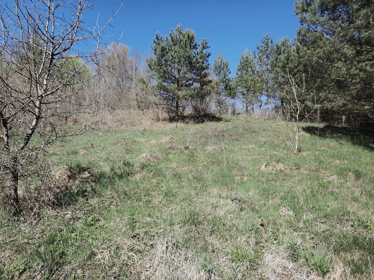
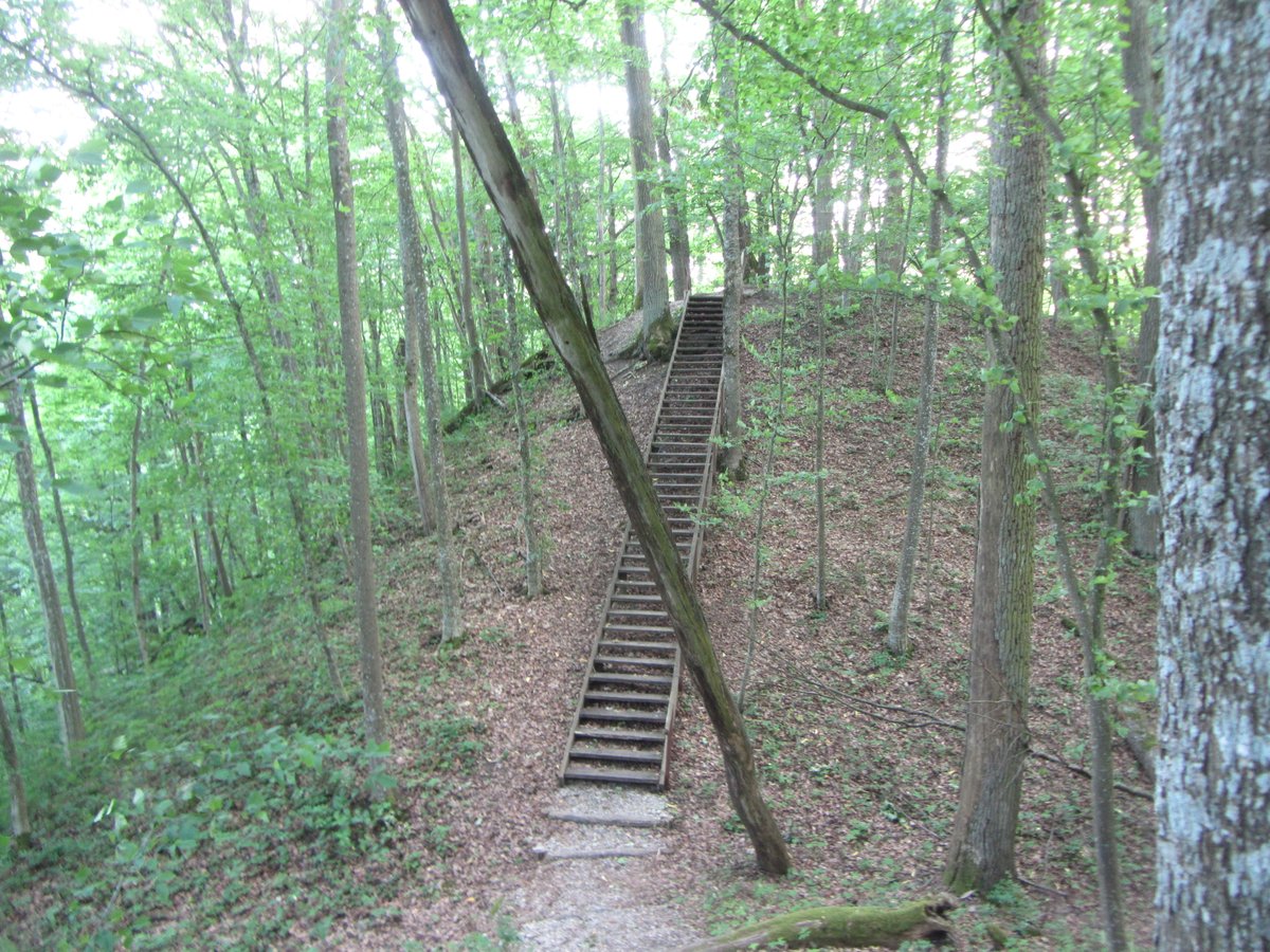
Beyond the ditch is a flat area of pavement measuring approximately 100 by 40 metres, with the northern part collapsed into debris. This area is separated from the southern side by a 4-metre wide embankment. The entire site is now covered with pines and bushes. In 1953 and 1962, the Institute of History scouted the hillfort for research.
Sources: Wikipedia, OpenStreetMap, Wikidata, Wikimedia Commons
Written by Nicolo Ciampini
Discuss this with the author and others
No comments yet. Be the first to start the conversation.