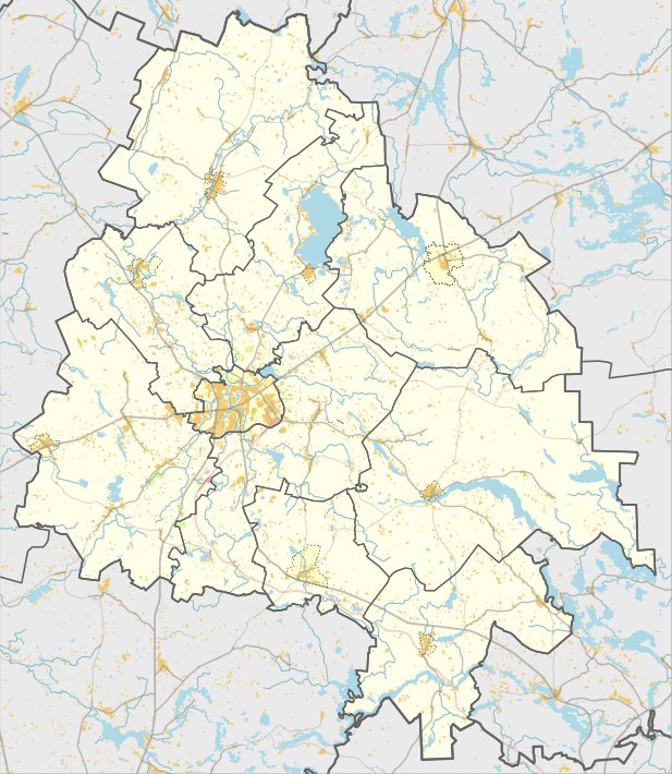

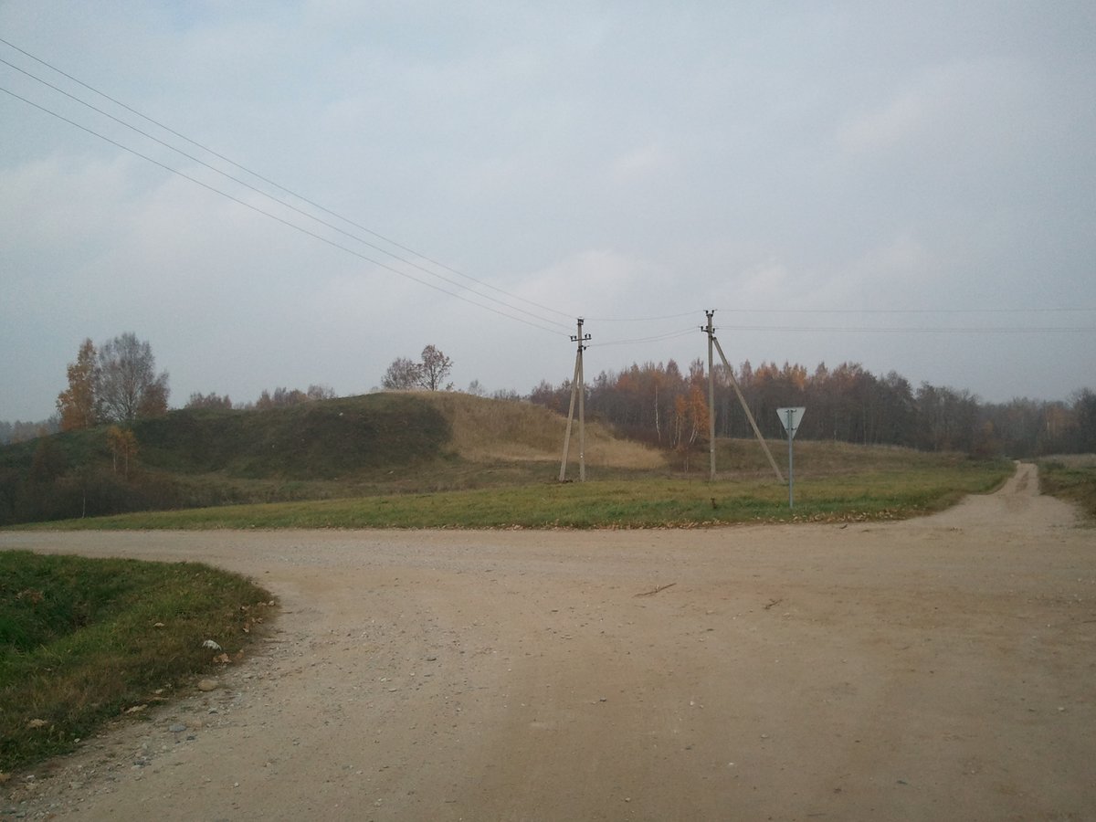
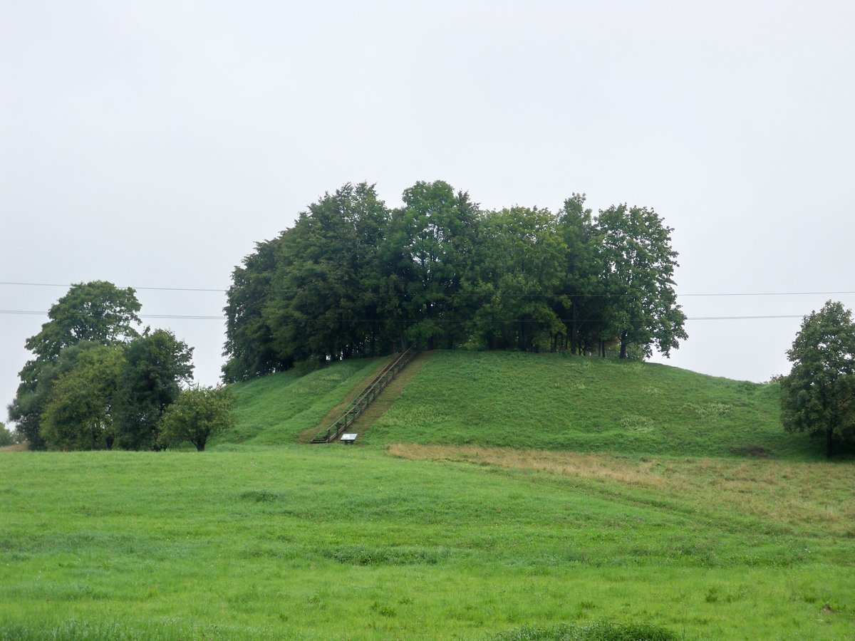
Kubilių piliakalnis is a fortification situated on a large, solitary hill by the bank of a stream. The clearing is quadrilateral in shape, stretching 120x87 meters from north to south, with the southern and western parts being up to 3 meters higher. The slopes reach heights of 8-20 meters, though the north-western slope is sloped and only 2 meters high.
The site is surrounded by trees and is partly covered in grass in the northeastern part of the clearing. It was surveyed by the Institute of History in 1970, which did not observe cultural layers or fortifications at that time. The site is dated to the beginning of the 1st millennium.
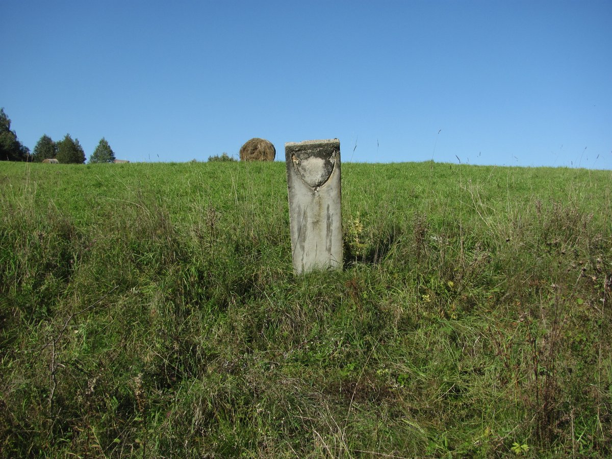
An order from the Minister for recognition as a state-protected site was issued on 2005-04-29. The area of the monument's territory is 5.5 hectares.
Sources: Wikipedia, OpenStreetMap, Wikidata, Wikimedia Commons
Written by Nicolo Ciampini
Discuss this with the author and others
No comments yet. Be the first to start the conversation.