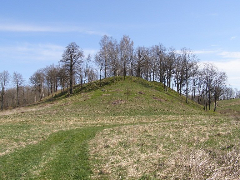

Imbarė hillfort, located in western Lithuania, near the confluence of the Pilsupis and Salantas rivers, is an archaeological complex dating back to the 10th-13th century. Spanning approximately 23.44 hectares, the hillfort consists of two enclosures reaching up to 20 meters high. A gateway can be found on the right side of the hill platform's summit. At the base of the hill slope lies a site potentially used for defensive purposes - a 7-meter-deep trench.
Archaeological research indicates that a marketplace existed within the hillfort during the Middle Ages, making it the administrative center for Ceklio forts, a residential and religious center. Historically, a enigmatic figure named Puika was purported to have constructed the hillfort, portrayed with a cross. Yet, the origins of the hillfort remain elusive. Puika claimed to have liberated Imbarė from occupiers, but the authenticity of this tale is debatable, as he lacked the power to share the hillfort freely.
Ultimately, Puika was slain near the hillfort, and it was destroyed as a result. Now, only the hillendures. Imbarė hillfort was first cited in 1253 and was destroyed around 1260-1263 due to a siege. A castle stood atop the hillfort in the 16th and 17th centuries, but it was eventually buried beneath Dvarlaukio dune. The State Archaeology Commission gathered information about Imbarė hillfort in 1935-1938. It was registered as a republican archaeological monument in 1972 (AR493) and added to the Register of Cultural Heritage Sites in 2003 (A1710K). It was designated as a protected cultural heritage in 2005 and as a cultural landmark in 2008.
Sources: Wikipedia, OpenStreetMap, Wikidata, Wikimedia Commons
Written by Nicolo Ciampini
Discuss this with the author and others
No comments yet. Be the first to start the conversation.