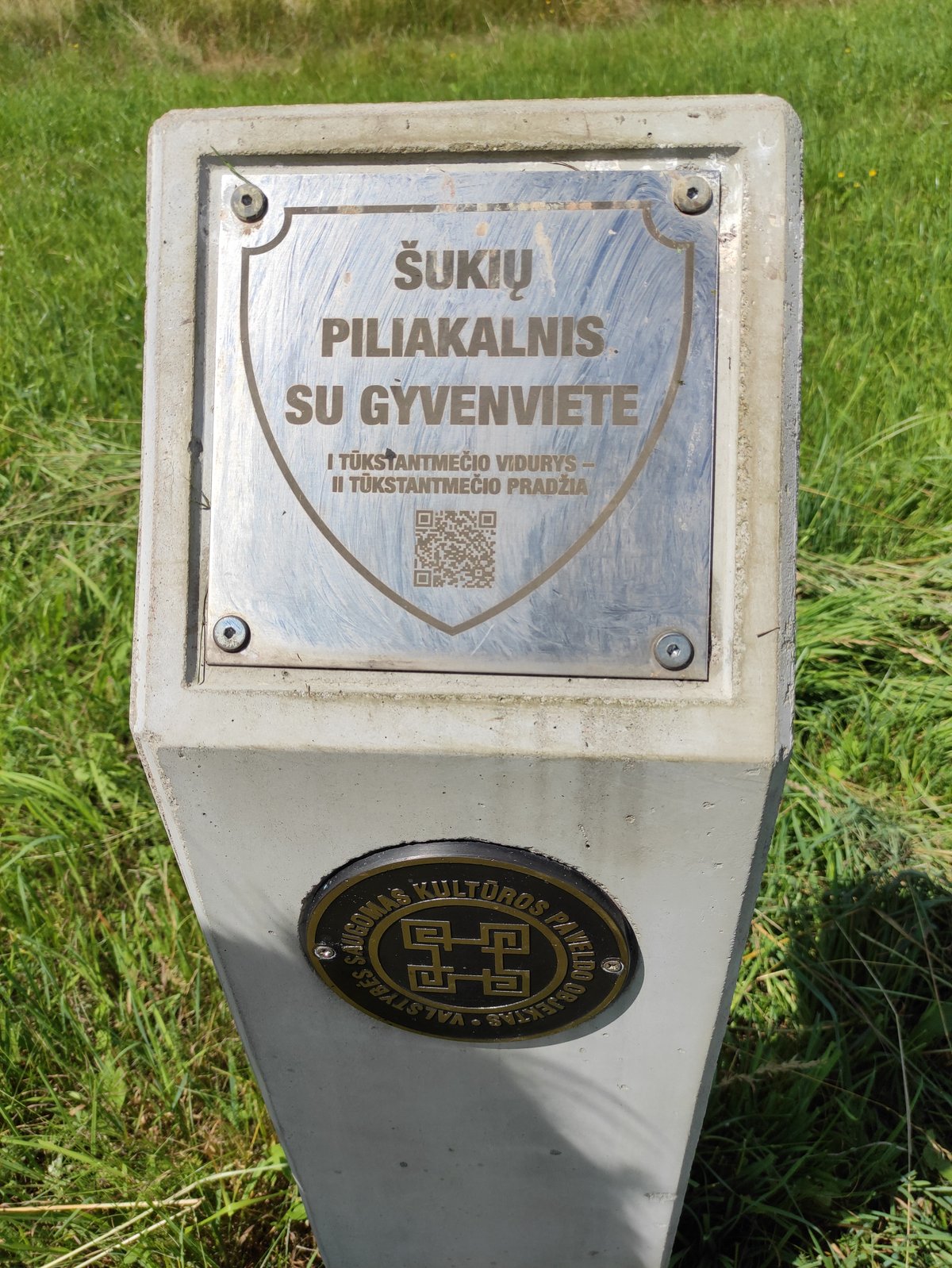

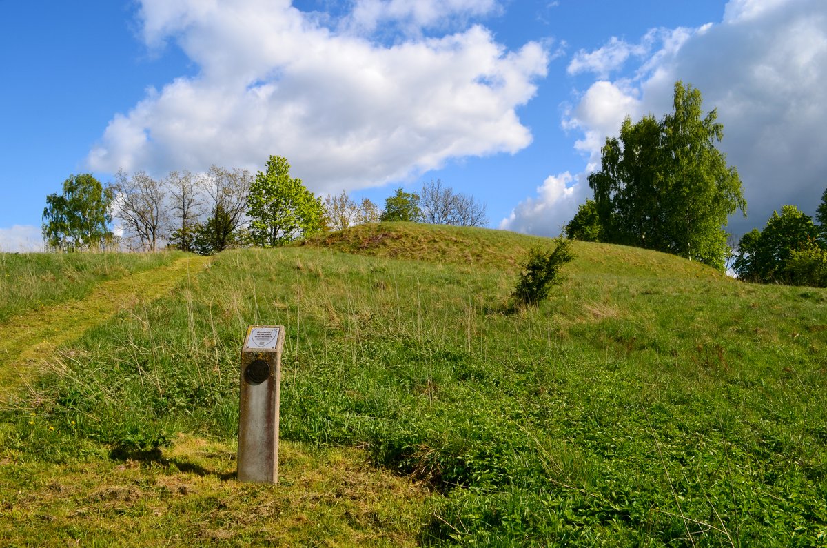
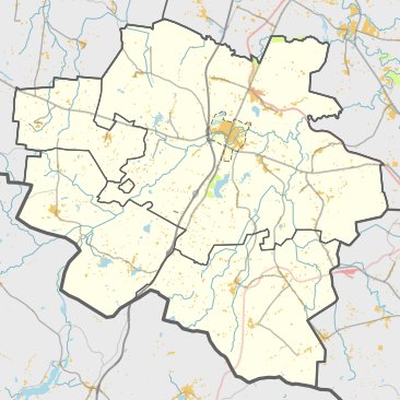
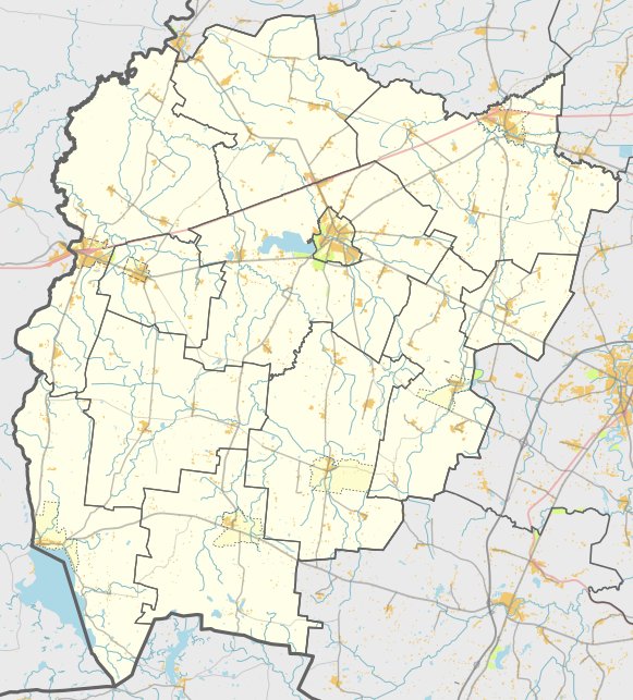
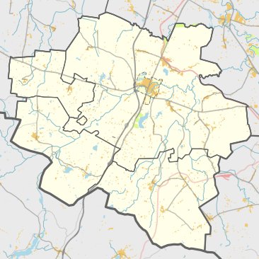
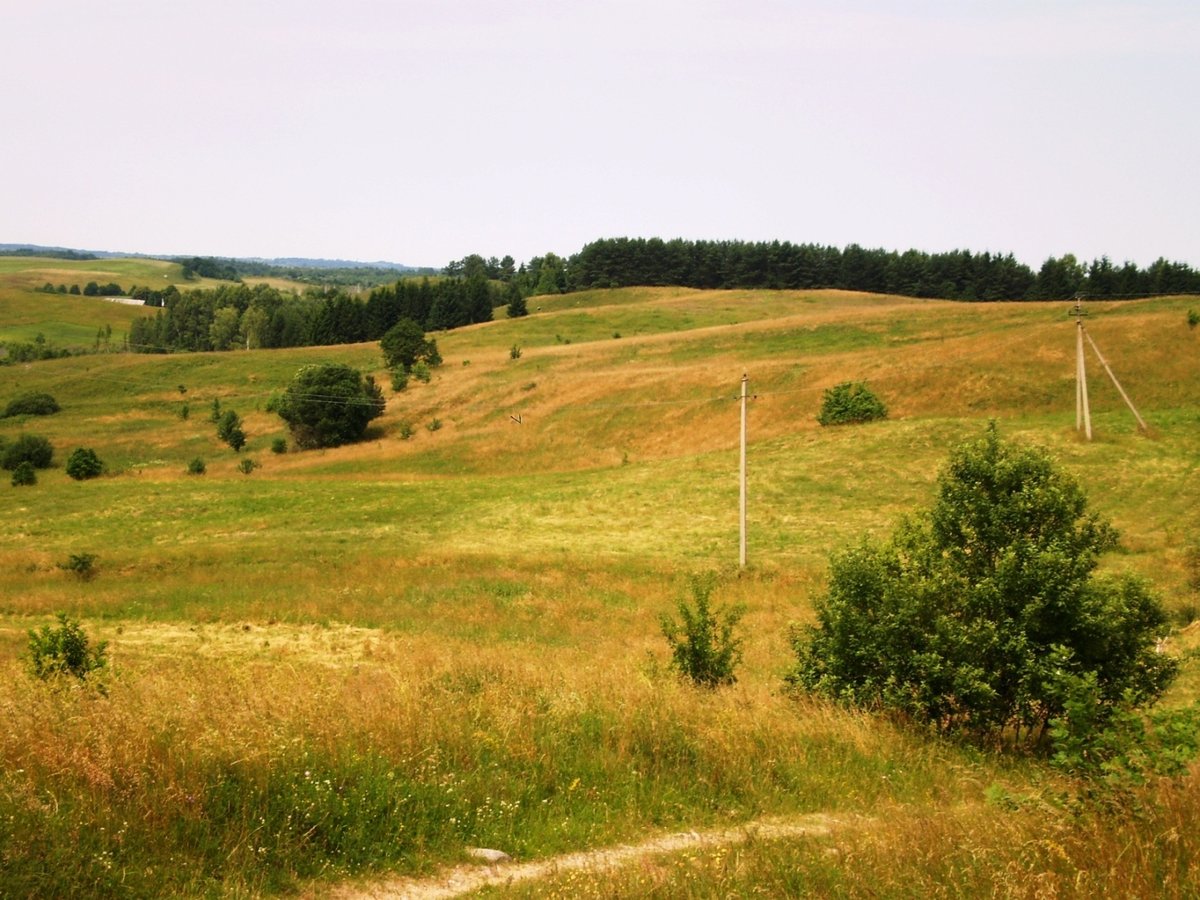
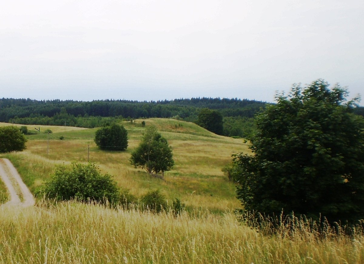
Šukių Piliakalnis, also known as Juozapavas, is a hillfort and settlement located in the Vilkaviškis district, north of Šukiai. The site is reached by turning right from the Vilkaviškis–Gražiškiai road towards Šukiai, then turning right again towards the north, following the road for 1.1 km from former farms. The archaeological site is situated on the edge of a height on the right bank of the Brideika river.
The hillfort features an oval courtyard oriented east-west, measuring 34 meters in length and 37 meters in width. The perimeter is fortified with a rampart that reaches its highest point on the eastern side, standing 3.5 meters high and 22 meters wide. In other areas, the rampart is 0.5 meters high and 5 meters wide. From the outer eastern side, a 6.5-meter-high slope descends into a ditch that is 12 meters wide and 1 meter deep. The slopes stand 13 meters high, and the hillfort is reinforced with logs, with the slopes eroding into the river.
Dated to the middle of the 1st millennium and the beginning of the 2nd millennium, the site was first surveyed by the Institute of History in 1965. Archaeological findings include a settlement on the east-south slope covering 1.5 hectares, where pieces of coarse pottery were discovered. The monument's total area is 34,100 square meters, extending 120 meters from north to south and up to 80 meters in width.
Sources: Wikipedia, OpenStreetMap, Wikidata, Wikimedia Commons


Written by Nicolo Ciampini
Discuss this with the author and others
No comments yet. Be the first to start the conversation.