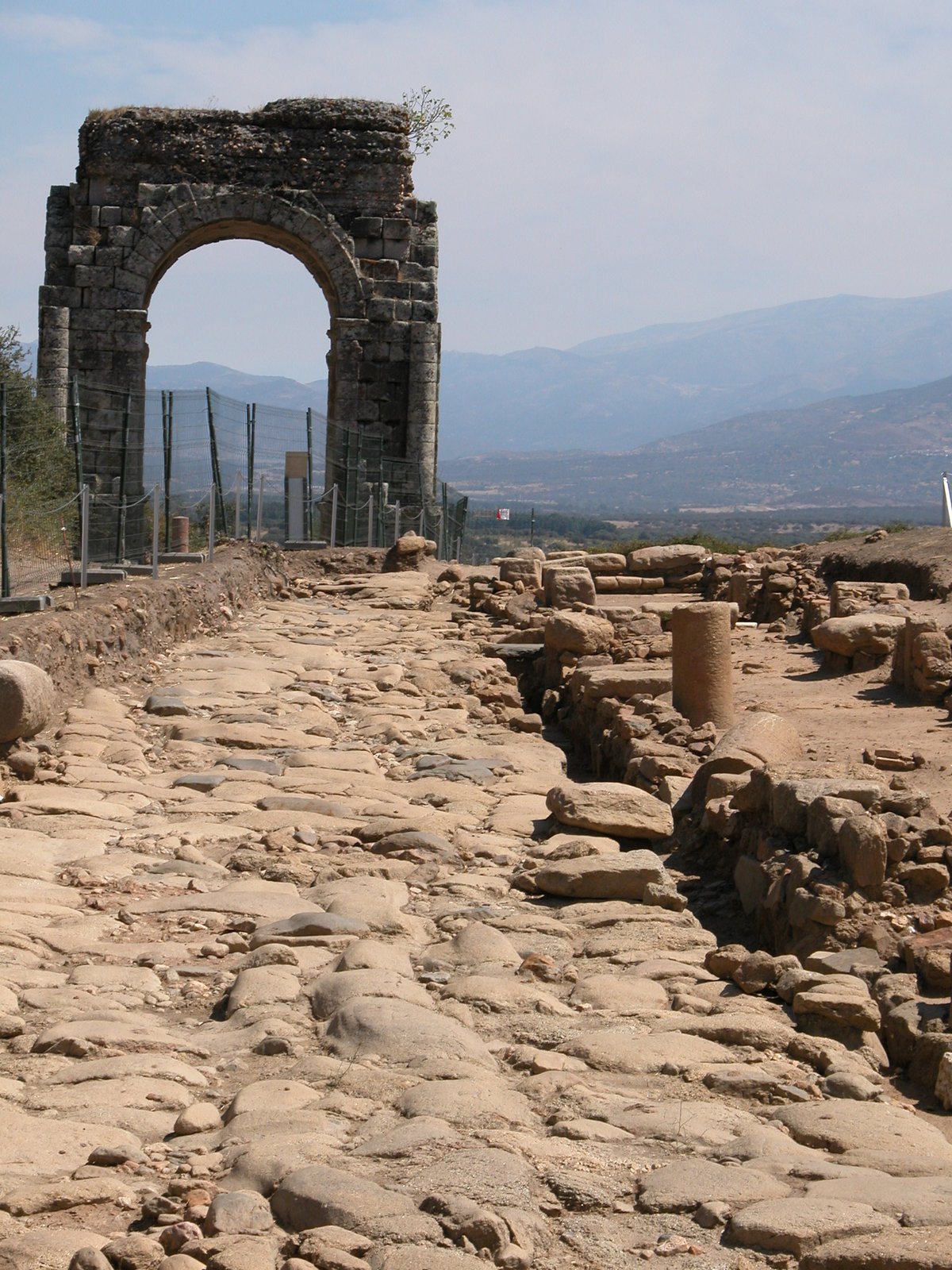

The name Cáparra is not originally Latin. It likely has pre-Roman roots - perhaps Veton - which may point to the settlement's original purpose as a center for exchange and trade. This is fitting for a site that sat at the meeting of two roads: one leading toward El Jerte through the Puerto de San Gamello, and another heading toward the Roman bridges over the Ambroz and Alagón rivers.
During the Roman period, the city was known as Municipium Flavium Caparensis. It was part of the province of Lusitania, located between the Tagus river and the Sierra de Gredos. The town followed an orthogonal plan, with the Vía de la Plata serving as the principal north-south axis. While it was smaller than some other major cities in the Iberian Peninsula, it remained a primary population center for the region.
The walled city covered about 15 to 16 hectares, but the actual inhabited area was likely much larger. Archaeological evidence of houses to the northwest suggests that the daily life of the residents extended well beyond the formal fortifications.
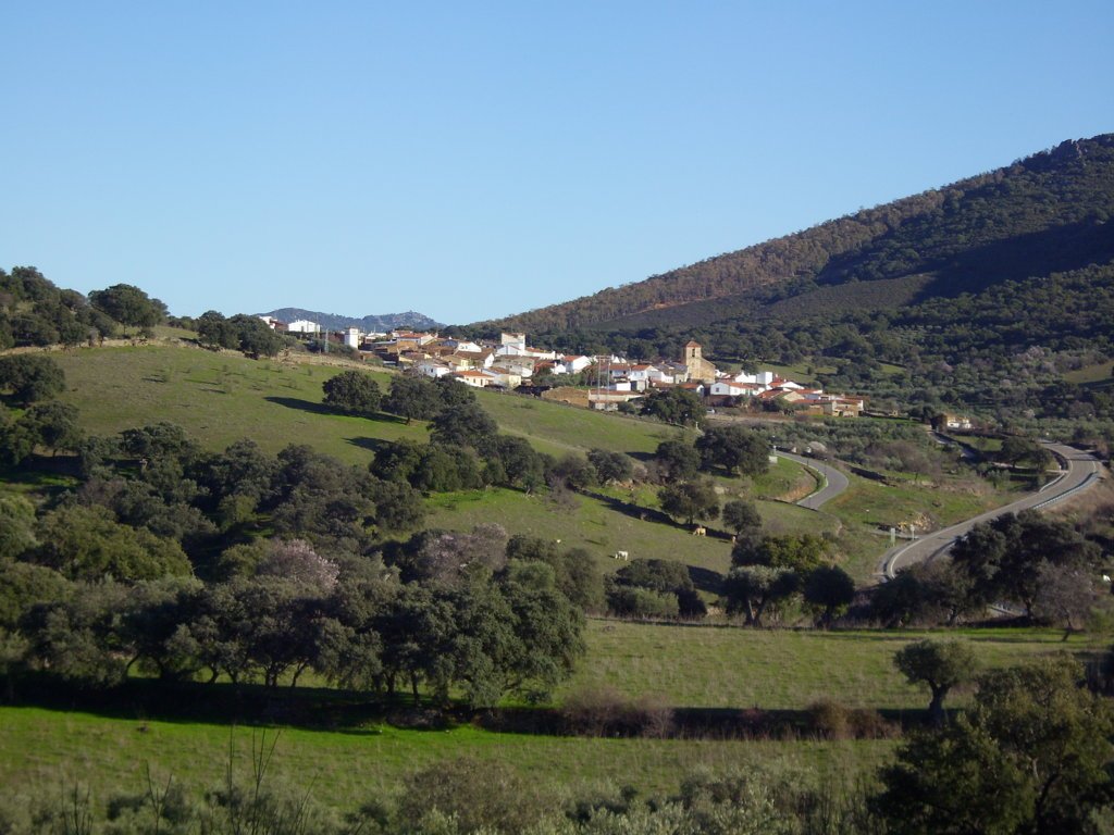
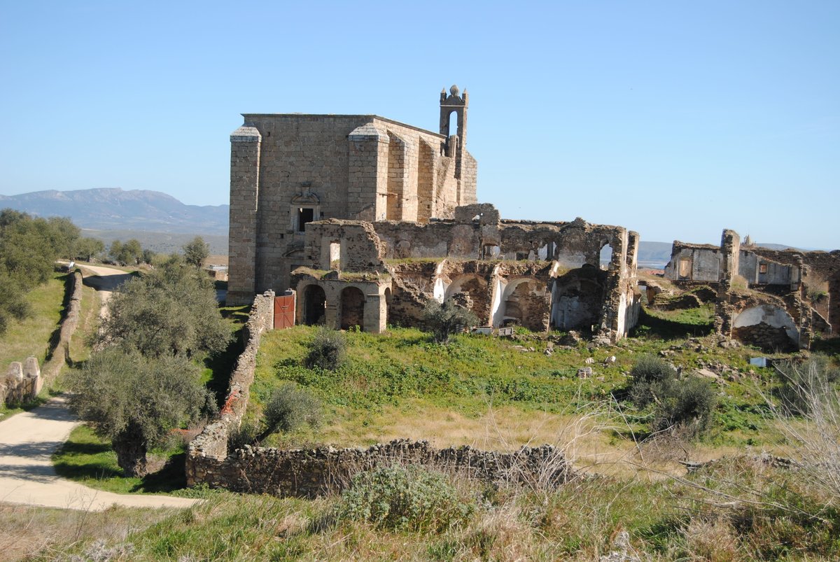
Today, the city is permanently abandoned. It remains a quiet archaeological site in the Extremadura countryside, where the layout of the ancient streets still dictates the shape of the landscape.
Sources: Wikipedia, OpenStreetMap, Wikidata, Wikimedia Commons
Written by Nik Frost
Discuss this with the author and others
No comments yet. Be the first to start the conversation.