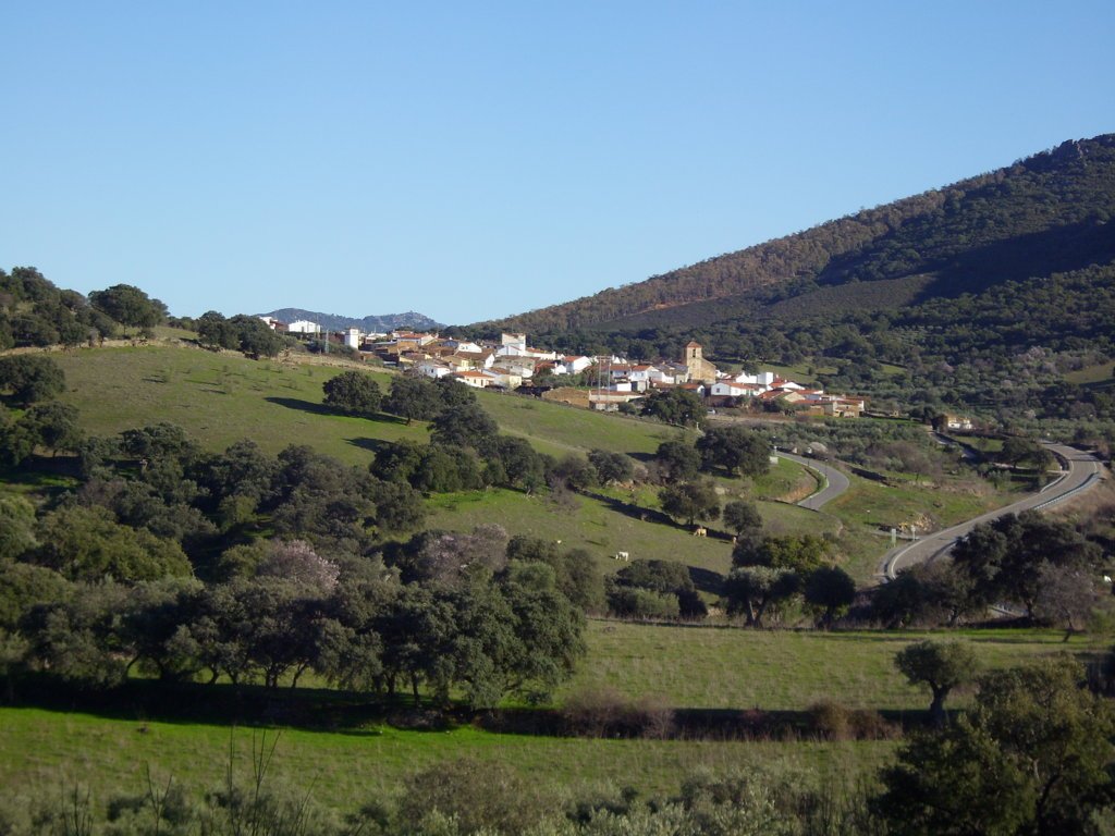

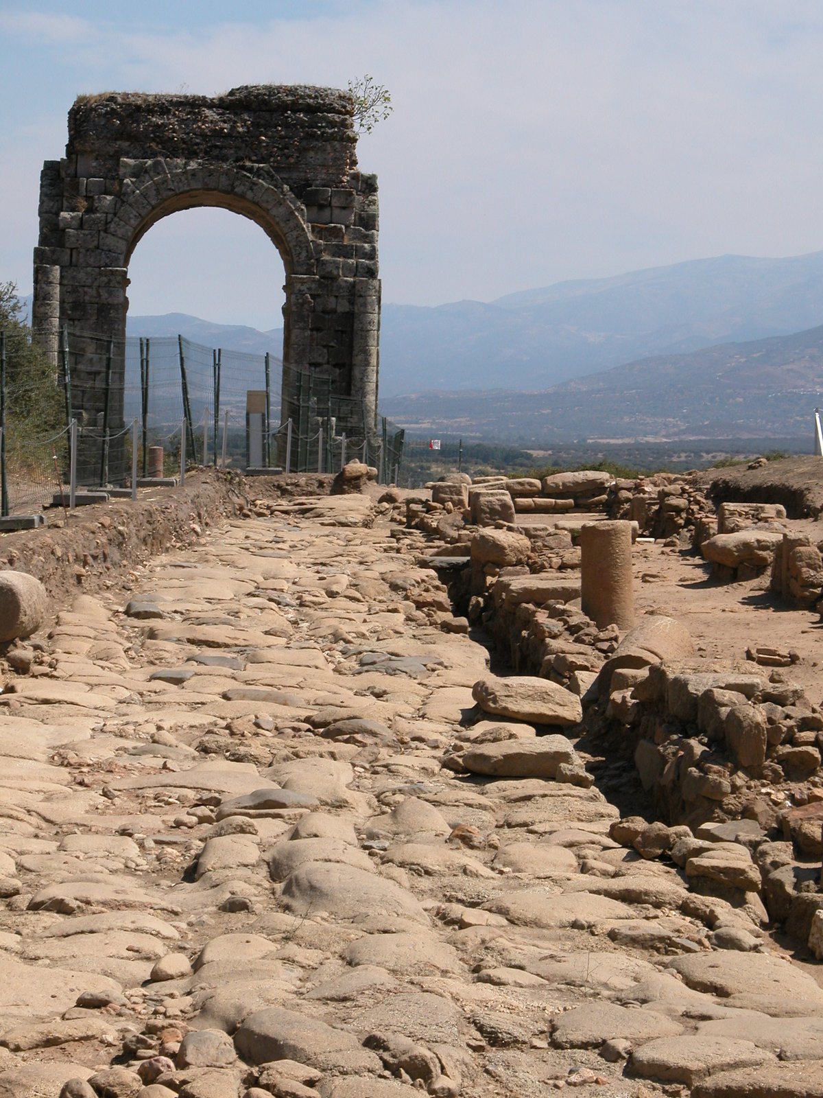
The name Albalat refers to a paved road or stone-paved way. It marks a location that was strategically vital because it sat along the ancient Roman road from Toledo to Mérida. This position was crucial because it sat right next to one of the few places where the river Tajo could be forded. This geography allowed the site to control the passage of the river through boats, provisional wooden bridges, or even a toll point for those crossing.
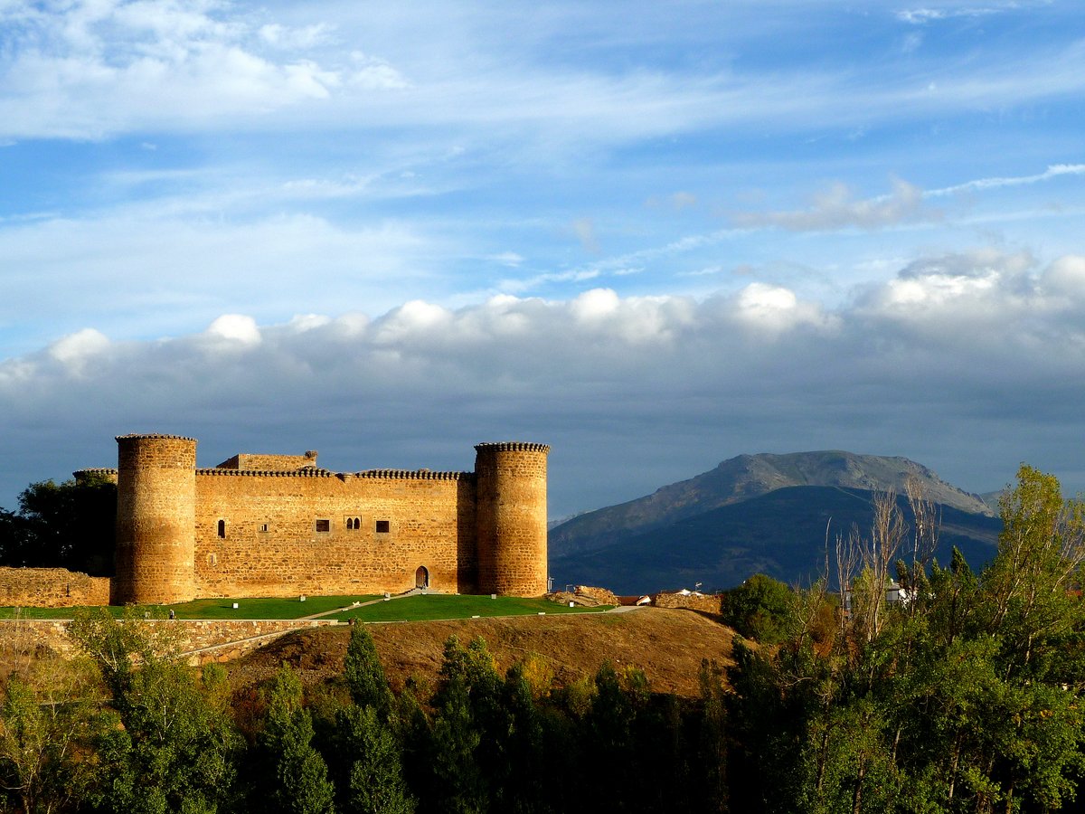
By the 11th century, the site served as a major military enclave. It functioned as a frontier outpost and a staging point for expeditions, which made it a military target. We can trace the importance of this location by observing how the Almoravid armies recovered this river fortification between 1112 and 1119/20, until its destruction, presumably by the municipal militias of Salamanca and Ávila in 1142.
In the centuries that followed, the site remained a key piece of the fortaleza del Tajo. It served as part of a defensive line that included Almaraz, Monfragüe, and Mirabel. There is much more to discover about how these structures worked together to guard the passage between Talavera de la Reina and Alcántara.
Sources: Wikipedia, OpenStreetMap, Wikidata, Wikimedia Commons
Written by Nik Frost
Discuss this with the author and others
No comments yet. Be the first to start the conversation.