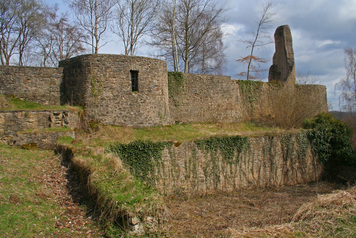
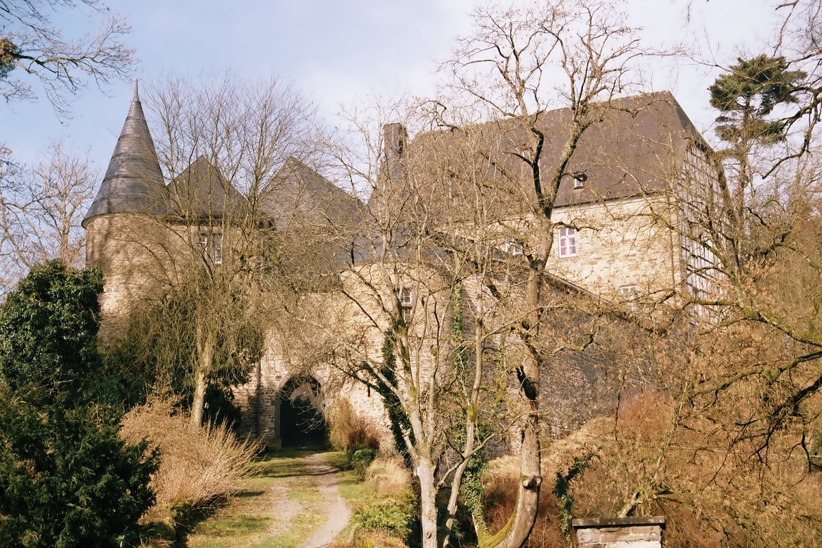
Locals name it the Finger of God. This jagged reach of stone slices the horizon above Schloßthal. It served as the seat for the Dollendorf family, a noble line first mentioned in 893. They occupied this stronghold until the mid-15th century, living high above the Lampertstal and Alendorfer Kalktriften nature conservation area. While the family's presence is ancient, the first written record of the castle appeared in 1077. This site saw shifting loyalties, becoming a fief of Cologne in the 12th century before passing into the feudal sovereignty of the Counts of Luxembourg and the Counts of Jülich during the 13th century.
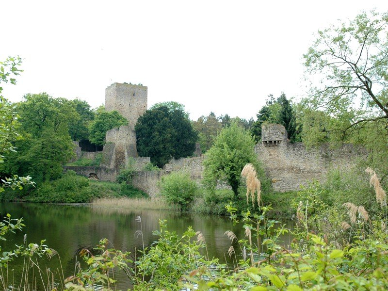
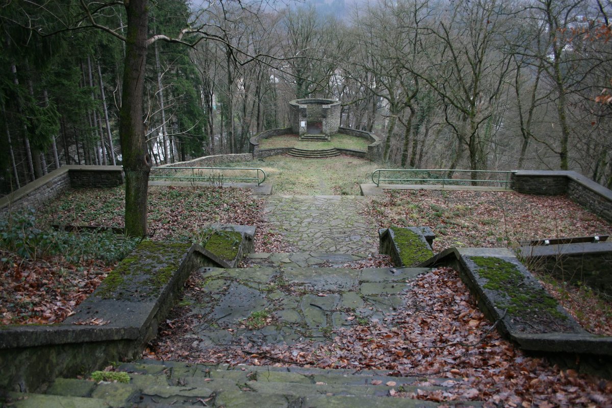
Perched atop a high ridge, the fortress served as a residence for the nobles of Dollendorf. Today, the layout remains discernible in the footprint of walls, where archaeological excavations partially rebuilt and secured stone to stabilize the medieval floor plan. About 380 meters southeast and 70 meters lower, the remains of Burg Neuweiler sit next to the Ahr. An information board regarding history and architecture is located at the site.
Visitors find a vast scale of view here, where the horizon opens wide enough to see Aremberg just 7.8 km away. The peaks of Nürburg and Hohe Acht sit at 18 km and 21.3 km respectively. Despite its status as a ruin, the site stays part of the local rhythm, serving as a place for a communal fire. Most traditionally, residents trek up for New Year's Eve to ring in the year, layering a modern custom over a millennium of occupancy in this elevated space where past and present meet.
Sources: Wikipedia, OpenStreetMap, Wikidata, Wikimedia Commons

Written by Aurora
Discuss this with the author and others
No comments yet. Be the first to start the conversation.