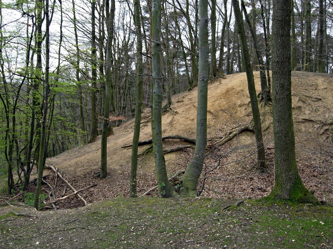
The Hangmotte Alfter, also called Alte Burg, is a decommissioned ringwork system located at 153 meters above sea level on the Vorgebirgshang in the municipality of Alfter. The site contains remains of an early medieval high castle complex of the Motte type, known as a Turmhügelburg. The remains include a castle hill and remnants of a ditch, all classified as a terrestrial monument.
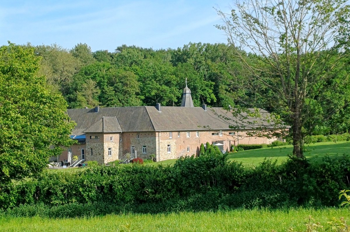
The site served as a former fliehburg, which was presumably a refuge for the inhabitants of the Alfterer Burg. Located between Görreshof street to the south and Buchholzweg to the north, the earthwork is situated south of the Herrenhaus Buchholz. The layout of the earthwork forms an ellipse with the major axis running East-West. The ratio of the axes of the ellipse is approximately 3:2, and the earthwork is approximately 90 meters long, covering a surface area of approximately 600 square meters.
The wall and ditch of the fliehburg are still well-defined. The slope angle of the earthwork is approximately 30 degrees, and the height difference between the ditch bottom and the wall crest is approximately 5 meters. The ditch itself is approximately 2 meters deep. The southern side drops steeply toward Görreshof, providing natural protection for the site.
As a Motte-type high castle complex, the site represents the history of Turmhügelburgen. It is recorded in the scientific database EBIDAT of the European Institute for Castles. The site remains a clearly visible part of the landscape between the streets of Görreshof and Buchholzweg.
Sources: Wikipedia, OpenStreetMap, Wikidata, Wikimedia Commons
Written by Aurora
Discuss this with the author and others
No comments yet. Be the first to start the conversation.