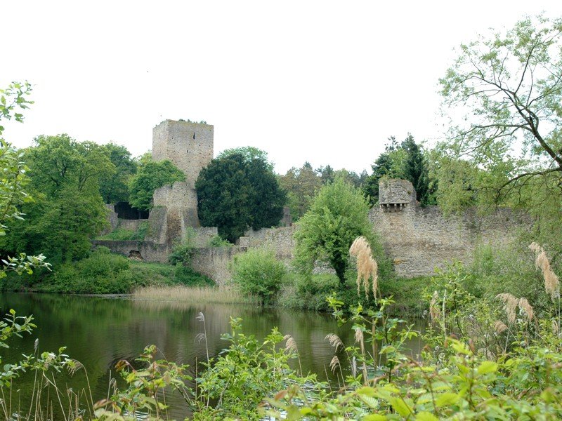
At the heart of the Kernburg was a residential tower built of rubble stone, rising four floors high to a peak of about 20 meters. Its entrance sat on the south side of the first floor, a high portal accessible only by a narrow ladder. The base of the tower measured 11.50 by 10 meters, with walls that were two meters thick in the lower area.
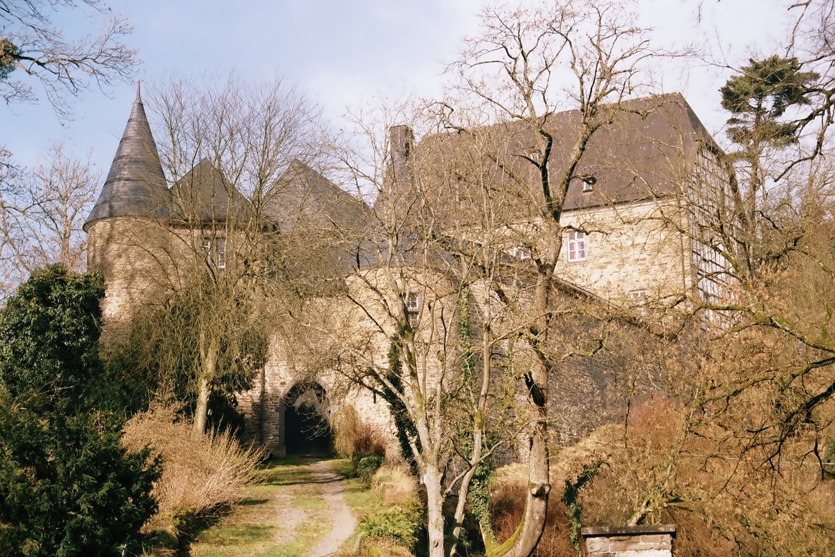
To see this fortress in its prime, one must look back to the start of the 14th century. Ritter Arnold von dem Bongart commissioned the construction, naming it Zer Heiden after the heathland where it sat. By 1303, the walls were finished. It was an imposing moat-bound castle, a Wasserburg, which stretched approximately 94 meters from north to south. It functioned as an offenhaus, an open house presented to the Count of Jülich in January 1304. In 1361, the land north of Aachen in Richterich and Horbach was called Heydener Ländchen.
Beyond the core castle lay an outer bailey, a Vorburg, fortified on its east, south, and west sides by thick walls with a wall walk. To the north, it remained open toward the Kernburg. A drawbridge led from the south side of the Kernburg to the Vorburg. From the west side, another bridge led across a 20-meter-wide moat into the countryside. Between the beginning and middle of the 15th century, the Kernburg received a defensive wall with a wall walk and projecting towers at the four corners.
By the middle of the 16th century, the introduction of gunpowder weapons made castle-like fortifications obsolete. The castle was exposed to several destructions. The damage sustained at the beginning of the Thirty Years' War was so lasting that the ruin was never rebuilt. It was left to decay, preserving it as a nearly original ruin.
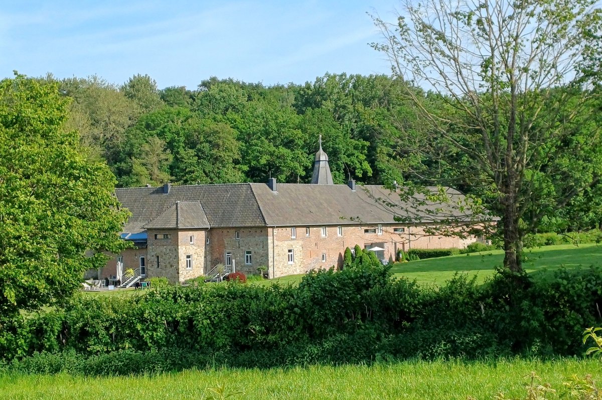
Ownership shifted through the centuries - from the von Gronsfeld to the von Merode-Rimburg, then to the von Schönrade, before returning to the von dem Bongart family. The surrounding municipality of Richterich was called Bürgermeisterei Heyden between 1815 and 1848. The layout of the outer baileys has remained unchanged since the middle of the 17th century, and they were used by an agricultural business until 2001.
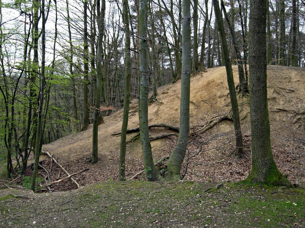
Today, only a remnant of the once-wide moats remains in the northern part of the complex. The entire complex was extensively restored between 2001 and 2003 under monument preservation requirements. It is currently used as a private residential complex, a domestic life inhabited within a shell of 14th-century ambition.
Sources: Wikipedia, OpenStreetMap, Wikidata, Wikimedia Commons


Written by Aurora
Discuss this with the author and others
No comments yet. Be the first to start the conversation.