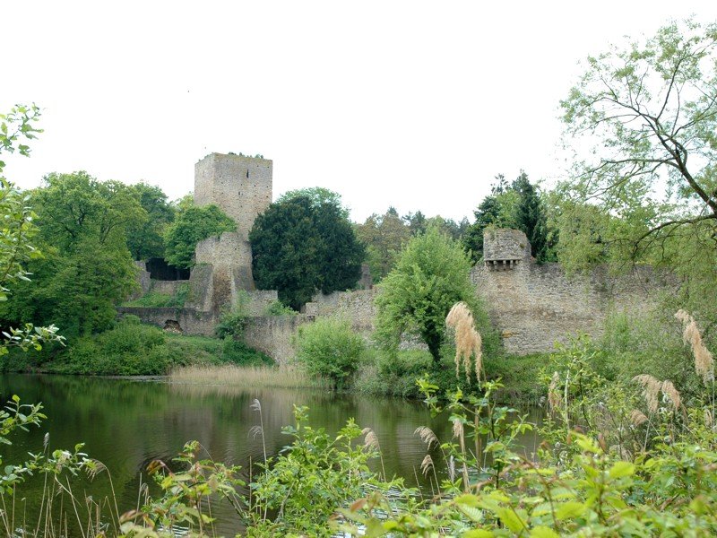
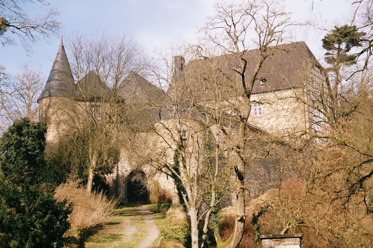
The Hardtburg sits on a rise in the Hardtwald, just south of Stotzheim. It is a water castle, despite being located on a hill of the Hardt river. It stands today as a well-preserved ruin of the High Middle Ages.
The story begins in the 11th century. A man named von Har(d)t appeared in records in 1105, and many believe he was the one to first lay the stones of this fortress. The first written mention of the castle arrived in 1166. By 1205, the castle had already seen its first major violence; Archbishop Bruno von Sayn captured the site and left it partially destroyed. In 1246, Count Friedrich von Hochstaden bequeathed the castle to the Electorate of Cologne, beginning a long tenure as an administrative seat for the Amt Hardt.
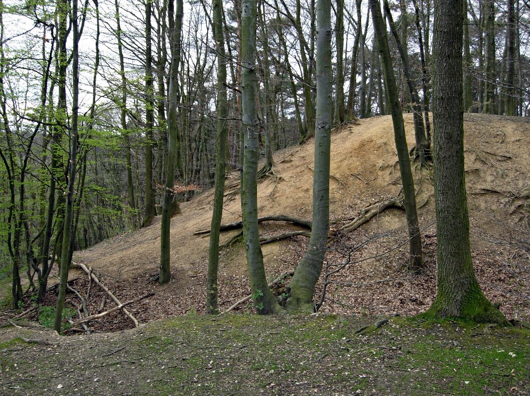
The castle managed 12,100 hectares of land until 1794. The layout shows how the defense evolved. The outer bailey and the Zwinger were added in the 14th century, creating a complex that measures 155 by 107 meters. A gate tower, which once held a portcullis, guards the entrance. You can still see the bridge that once functioned as a drawbridge, crossing the moat to reach the courtyard. Beyond this, a ditch separates the outer bailey from the main castle, where a bridge once led into the Zwinger.
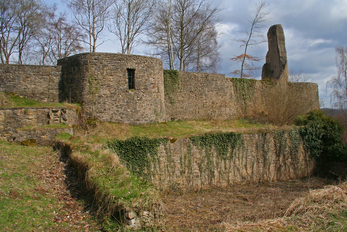
The ring wall surrounding the entire complex stands up to 7 meters high, though it is only 60 cm thick. In contrast, the inner ring wall around the main castle is much more substantial. Its thickness reaches 2.70 meters to the north and tapers to 1.6 meters to the south. At the heart of this inner ring stands the keep, a 20-meter-high tower built on a base of 9.5 by 9.3 meters. Its lower walls are 2.50 meters thick, narrowing as they rise. The keep is only open during certain times (autumn and winter) to accommodate nesting birds.
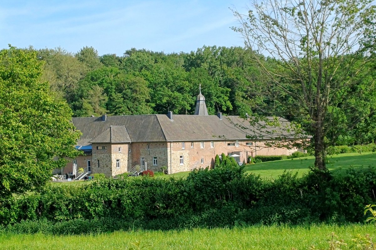
Time has been unkind to the core. Drawings from 1725 already showed the main castle in a state of ruin, though the outer bailey remained sturdy. Today, the outer bailey serves as a state district forestry office, while several buildings from the 18th and 19th centuries stand in the courtyard. Since 1965, the site has been maintained. Damage to the structure and the visitor bridge has made access to the interior impossible since 2015. While the keep is only open during certain times, the surrounding circular path remains open to the public.
Sources: Wikipedia, OpenStreetMap, Wikidata, Wikimedia Commons

Written by Aurora
Discuss this with the author and others
No comments yet. Be the first to start the conversation.