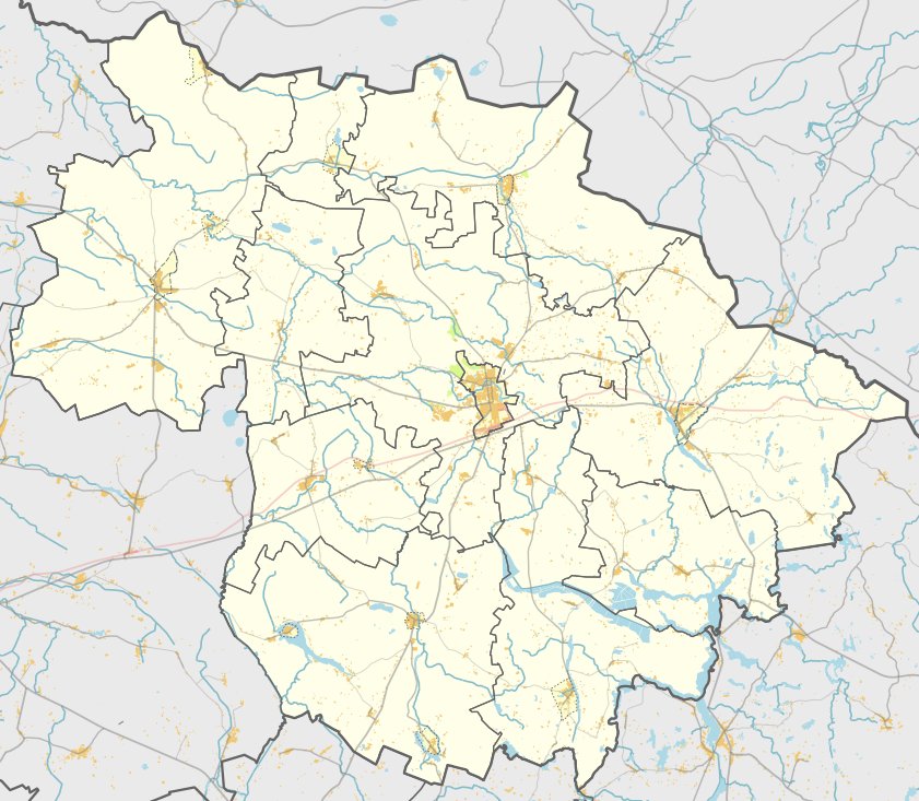

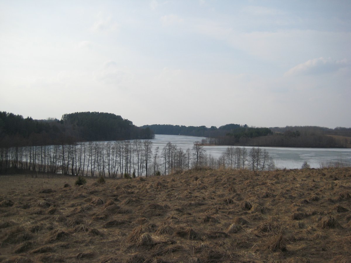
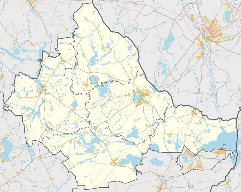
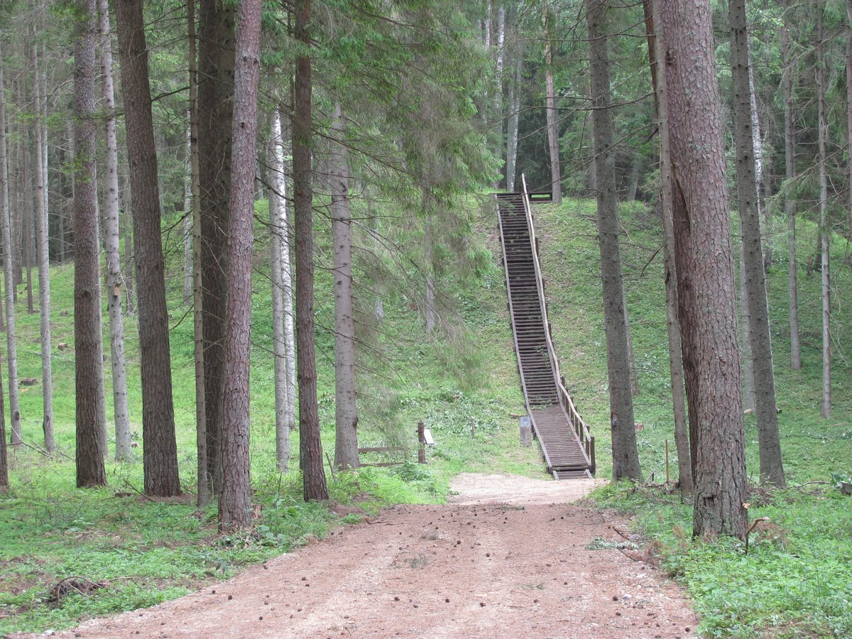
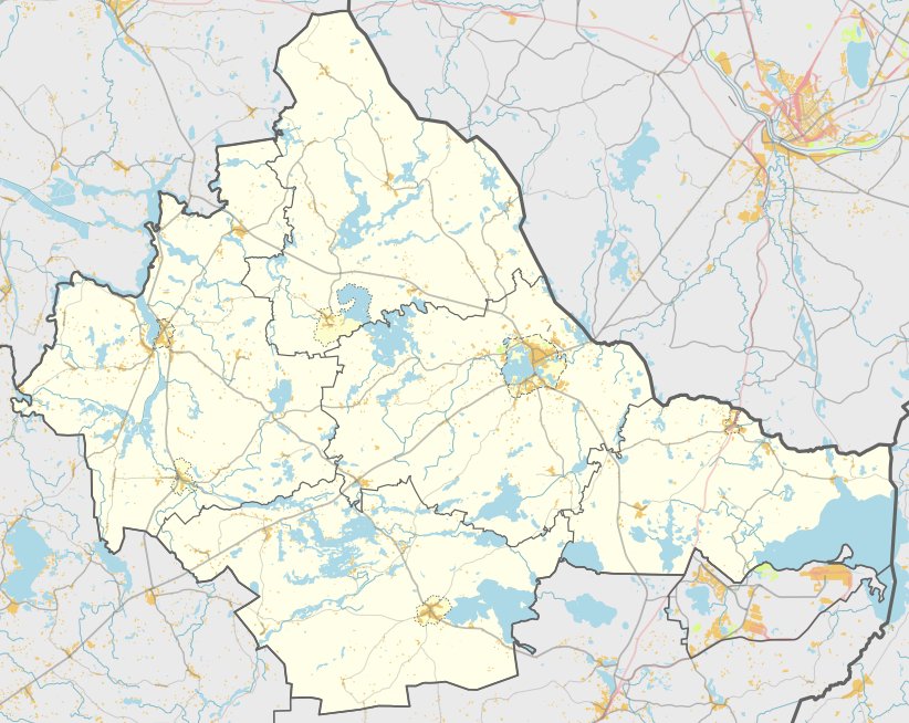
In the rural countryside, Stasiūnų piliakalnis is located in the village of Stasiūnai, within the Rokiškis district. The site is situated in the Degsnė forest and is reached by following a path through the woods near the Obeliai - Šapeliai road. The site is situated on the right bank of the Bevardžys stream and is difficult to find because the forest paths frequently branch off in different directions.
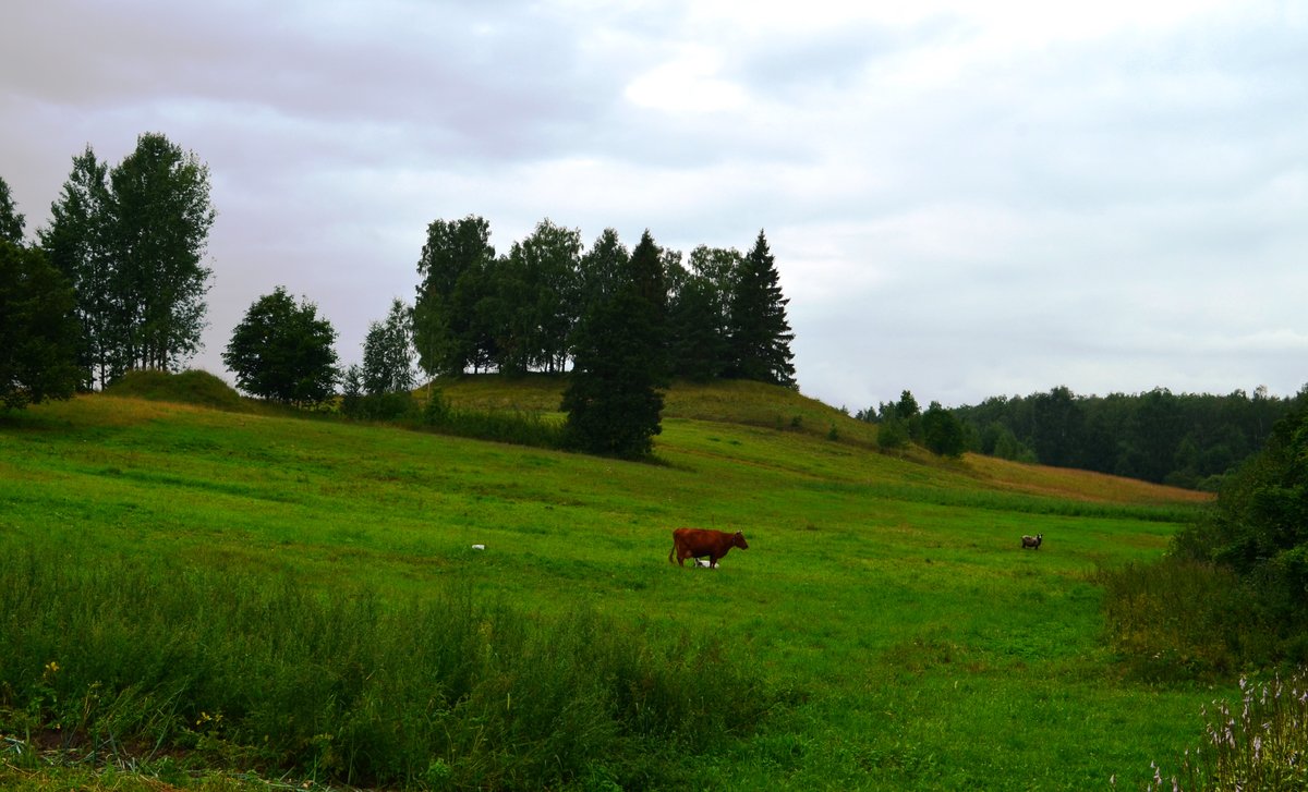
The site consists of a hillfort and a settlement. The hillfort is built on a separate hill and features an oval enclosure measuring 42x26 meters. On the north-western side, there is a 2-meter-high earth bank, and burnt ceramics have been found within the area. Below the enclosure on the north-western slope, there is a 4-meter-wide trench, 0.2 meters deep, behind which lies a 30-meter-long, 0.2-meter-high, 4-meter-wide pavement. A 5-meter-wide terrace extends from this pavement along the southern and south-eastern slopes, which reach a height of 10 meters.
Stasiūnų piliakalnis is dated to the end of the 1st millennium BC through the middle of the 1st millennium AD. A Decision of the Government of the Republic of Lithuania declared the site a cultural monument on May 19, 1998, under No. 612. The total area of the protected territory is 13,000 square meters. The site was surveyed by the Institute of History in 1972, and Andra Simniškytė studied the nearby settlement in 2001.
Further details regarding the site can be found in Simniškytė's research published in Archeologiniai tyrinėjimai Lietuvoje 2001 metais (2002, pp. 53–54). The site is also included in the lists of cultural monuments from 1973 (Vol. V, p. 169) and 1993 (Vol. V, p. 65).
Sources: Wikipedia, OpenStreetMap, Wikidata, Wikimedia Commons
Written by Nicolo Ciampini
Discuss this with the author and others
No comments yet. Be the first to start the conversation.