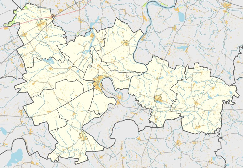

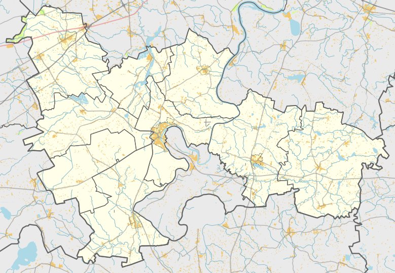
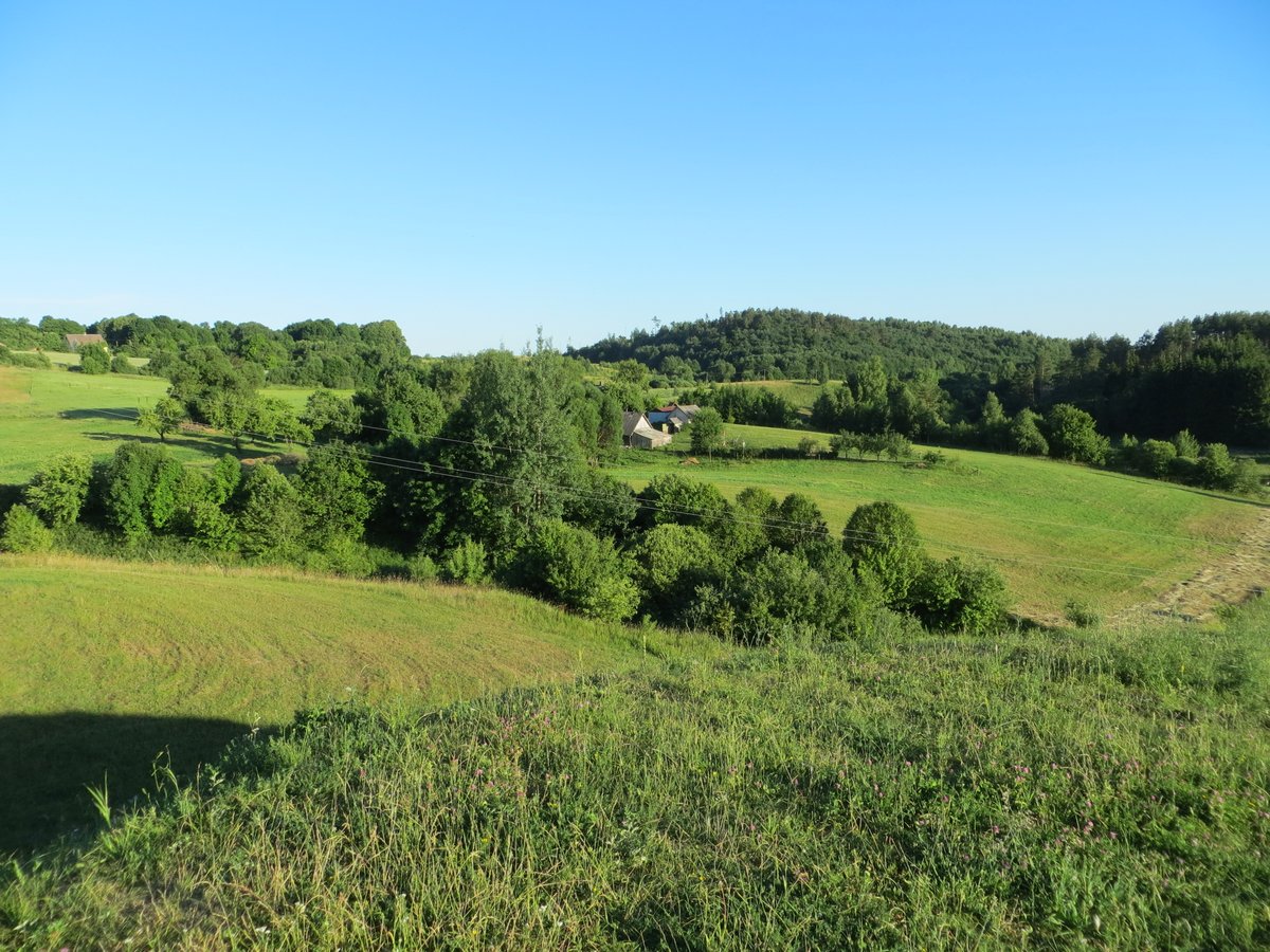
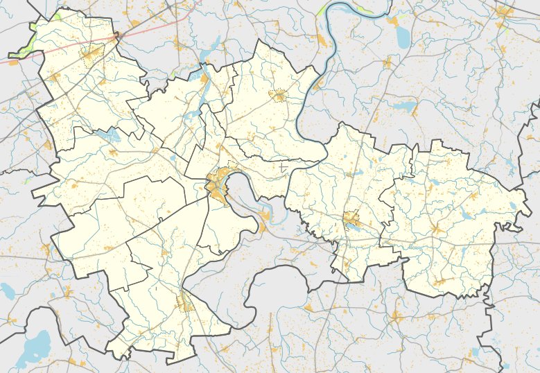
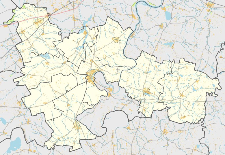
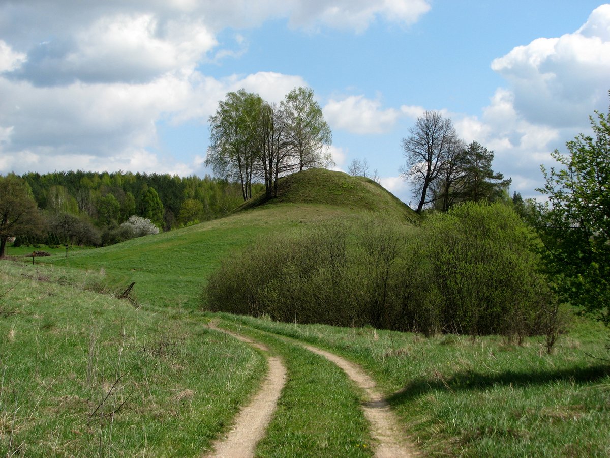
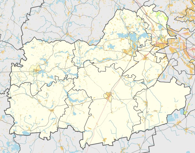
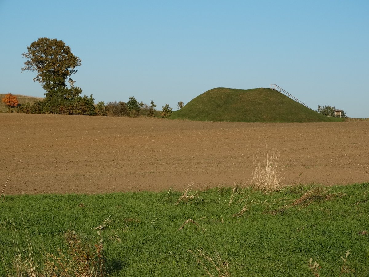
Stakliškės I, also known as Piliakalnis, is an archaeological hillfort located in the Prienai district, east of Stakliškės. The site is situated on a high point on the right bank of the Guostė river, at the confluence with a small stream. Visitors can reach the site from the eastern end of Stakliškės by following the Stakliškės - Užuguostis road for 500 metres and turning right for 100 metres across the fields.
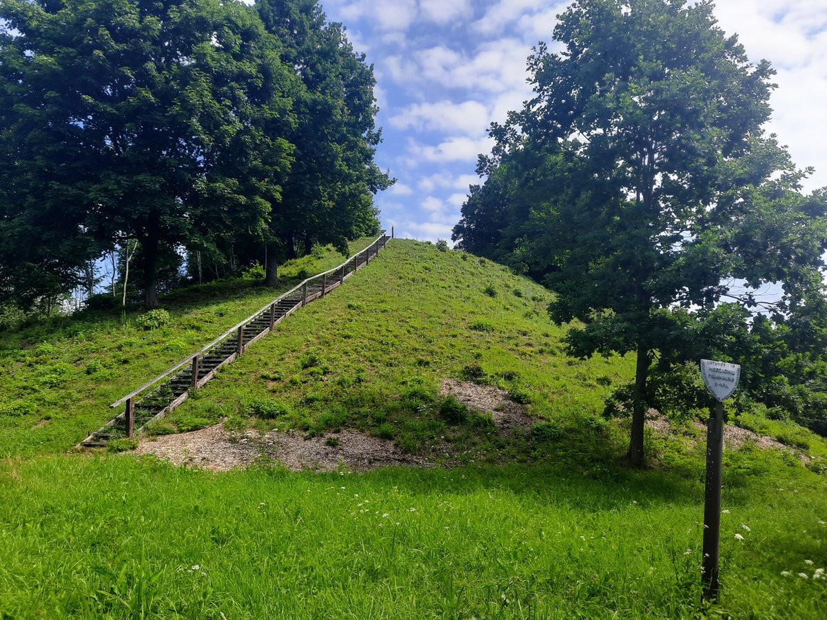
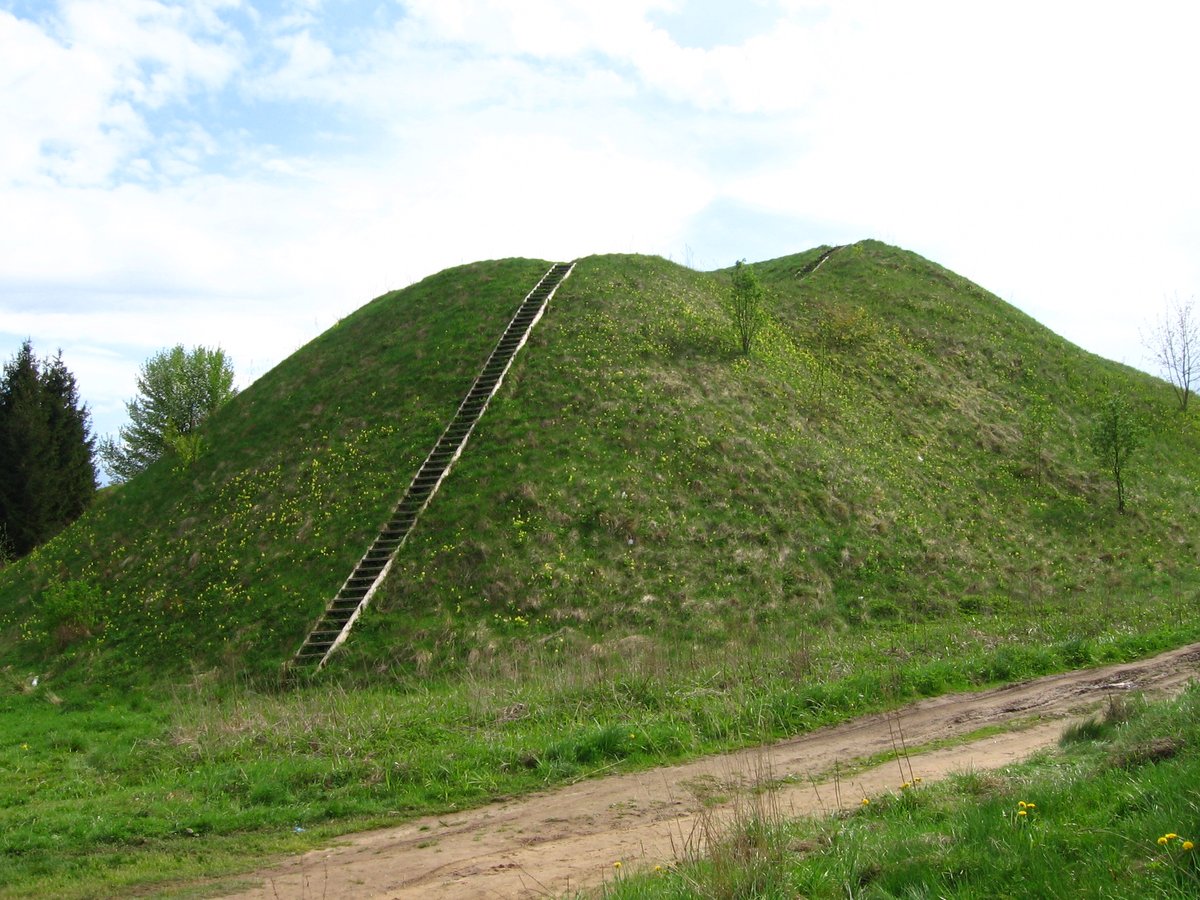
The fortification features a trapezoidal enclosure oriented north to south, measuring 38 metres long and 42 metres wide at the northern edge. On the northern side, a rampart 42 metres long and 2 metres high rises from a 14-metre wide, 2-metre deep ditch. The southern side of the enclosure is separated from an 11x6 metre triangular keep by a ditch measuring 15 metres long, 10 metres wide, and 3 metres deep. The slopes of these ditches reach heights of up to 13 metres.
This site dates back to the first millennium to the beginning of the second millennium. It was declared a cultural monument by the Government of the Republic of Lithuania on May 19, 1998. The protected area covers 7,000 square metres. While the interior of the enclosure is now grass-covered, the surrounding slopes and the rampart remain covered in grass, though the lower parts of the slopes are currently eroding.
Nearby, 850 metres to the southeast, lies the Stakliškės II hillfort. Historical research in the area includes the 1971 survey by the Institute of History. Additionally, in 1957, a hoard of 14th-century silver jewelry and coin melts was discovered in the vicinity of the site.
Sources: Wikipedia, OpenStreetMap, Wikidata, Wikimedia Commons
Written by Nicolo Ciampini
Discuss this with the author and others
No comments yet. Be the first to start the conversation.