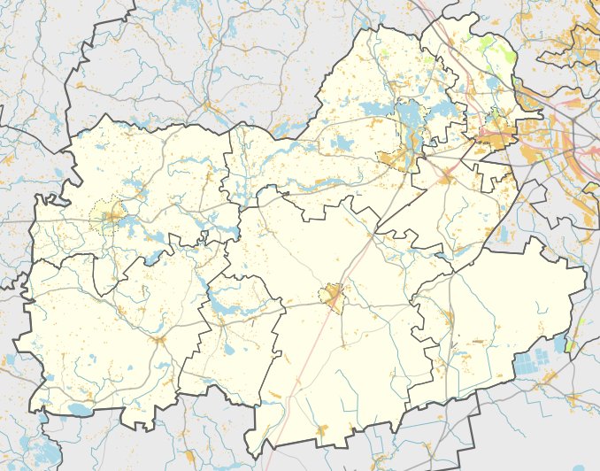

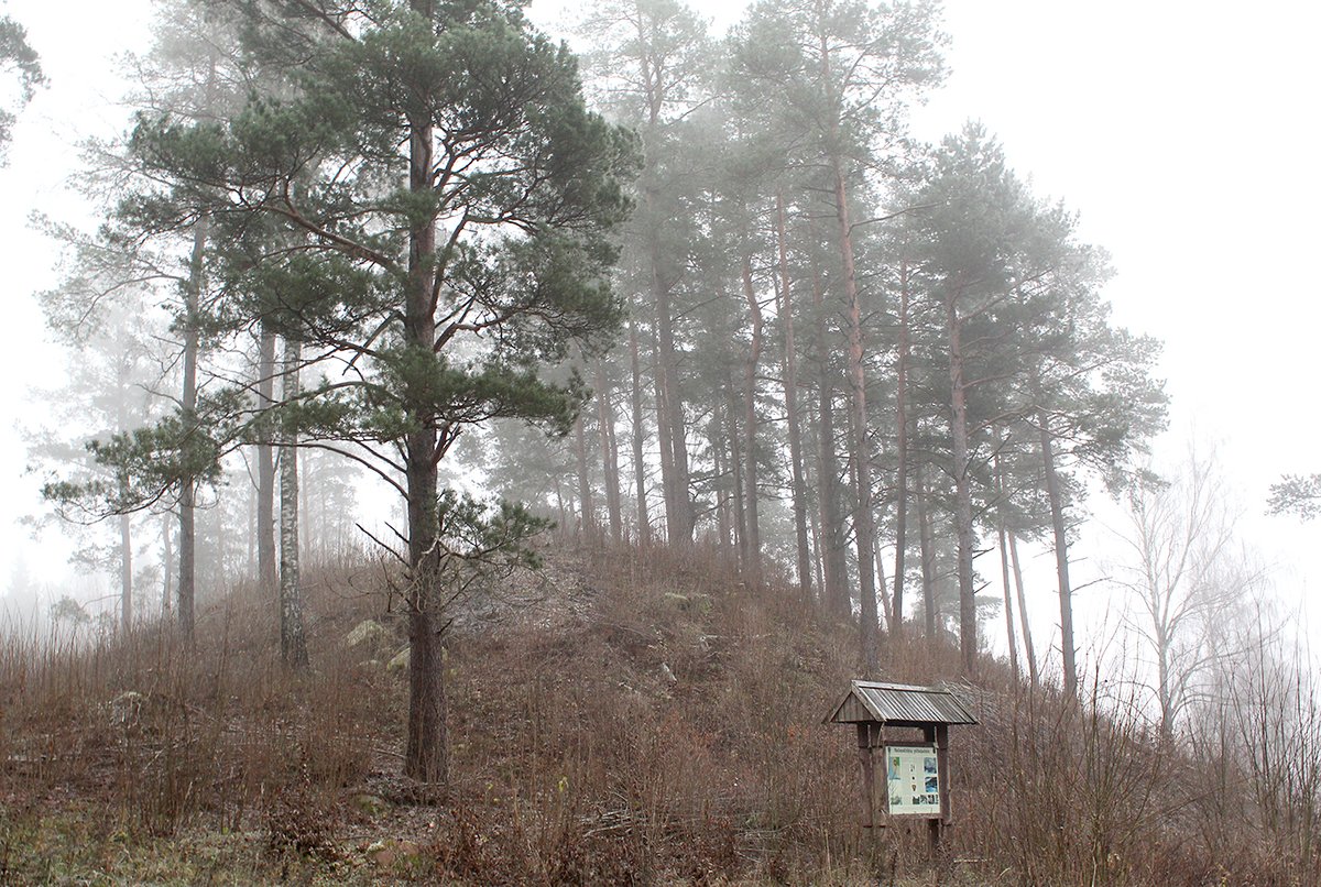
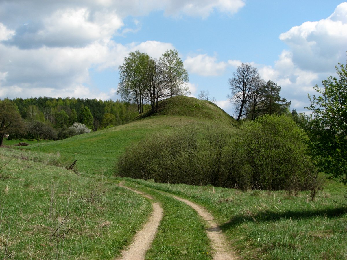
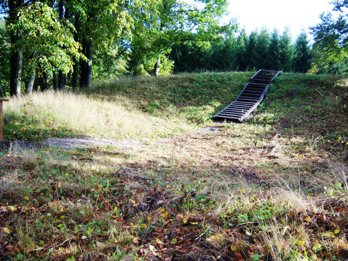
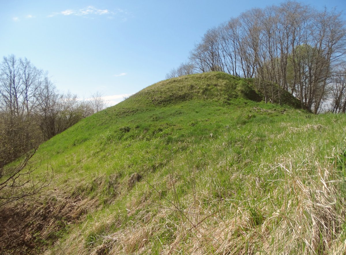
The Pamiškės piliakalnis serves as a triangular fortification with points aimed south, northwest, and west. It features a central plateau that is up to 34 m high in the middle, measuring 50 m long in a north-east to south-west direction and 50 m wide in a north-west to south-east direction. The site's slopes rise to a height of 20 metres, with the upper part of the slopes leveled to a height of 3.5 metres.
In 1971, the Institute of History conducted excavations at the site. The research uncovered cultural layers including brushed and unglazed pottery. These findings are kept in a museum, while the site itself remains a protected cultural monument. The fortification is heavily covered with stones, and its central area is marked by pits.
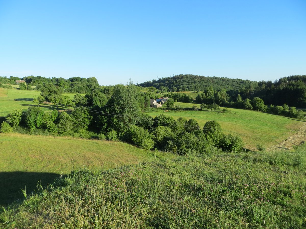
Today, the area shows a mix of nature and infrastructure. A grove of birch trees grows on the south-east side of the slope, while a high-voltage power pylon stands in the north-eastern part of the courtyard. The protected territory covers 13,000 square metres, extending 160 metres long in a north-west to south-east direction.
Sources: Wikipedia, OpenStreetMap, Wikidata, Wikimedia Commons
Written by Nicolo Ciampini
Discuss this with the author and others
No comments yet. Be the first to start the conversation.