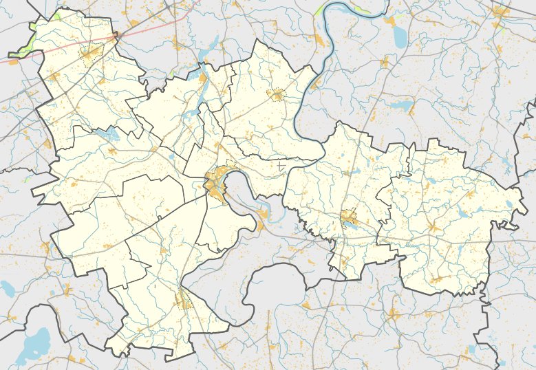

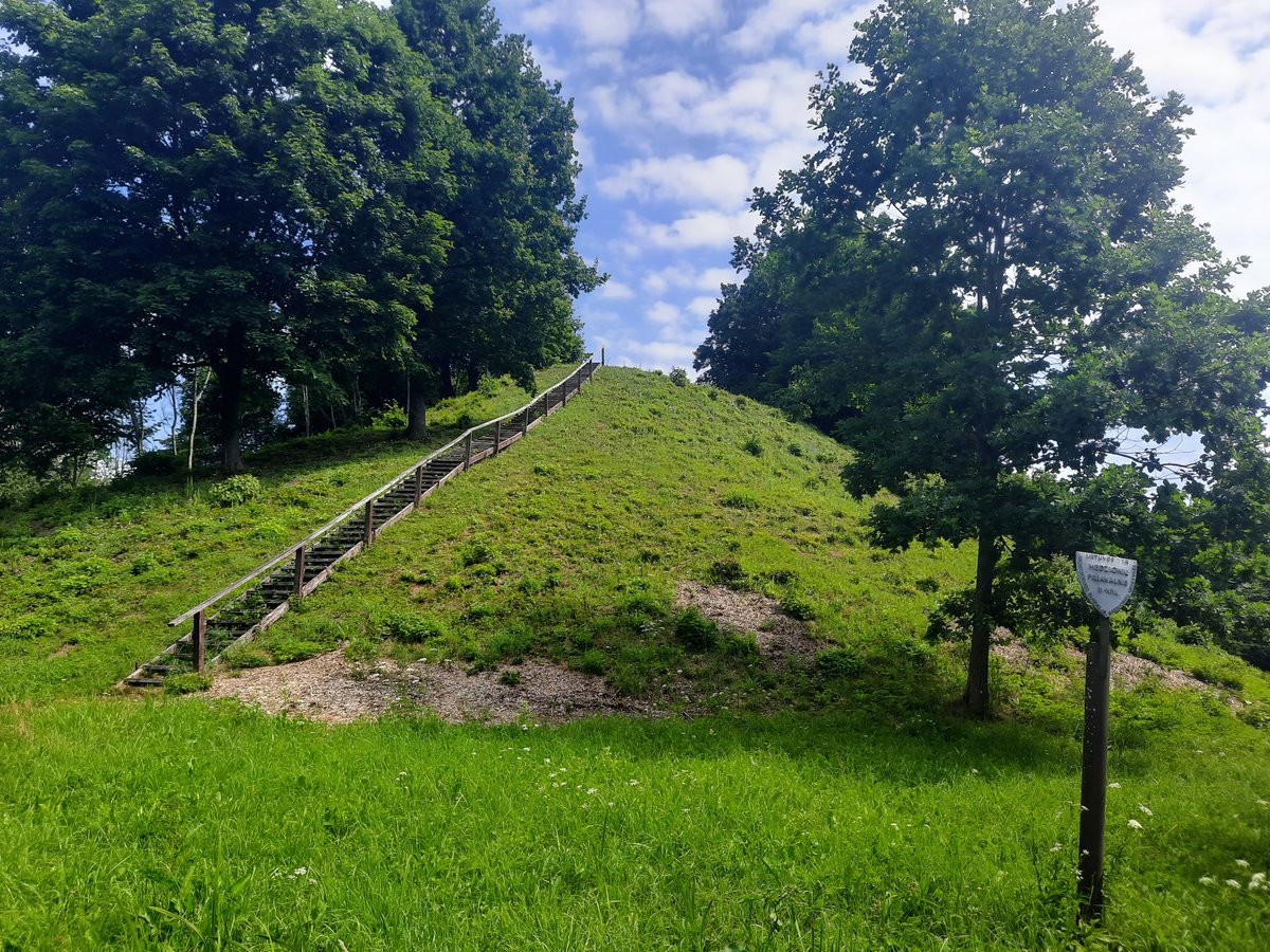
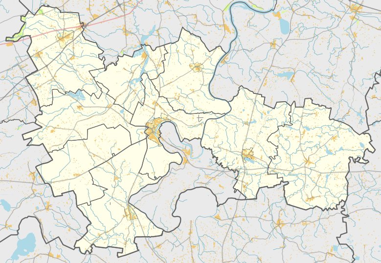
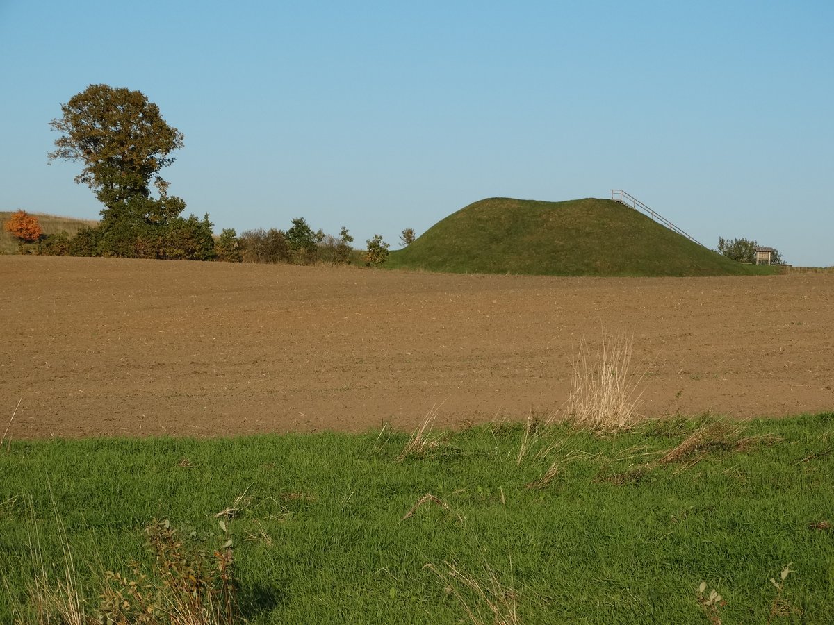
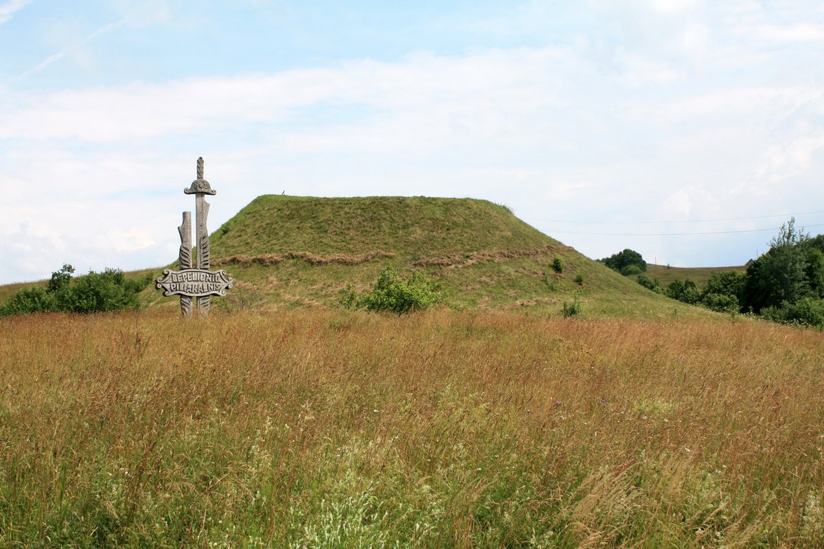
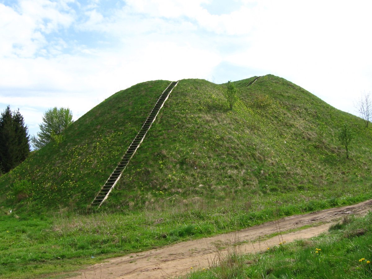
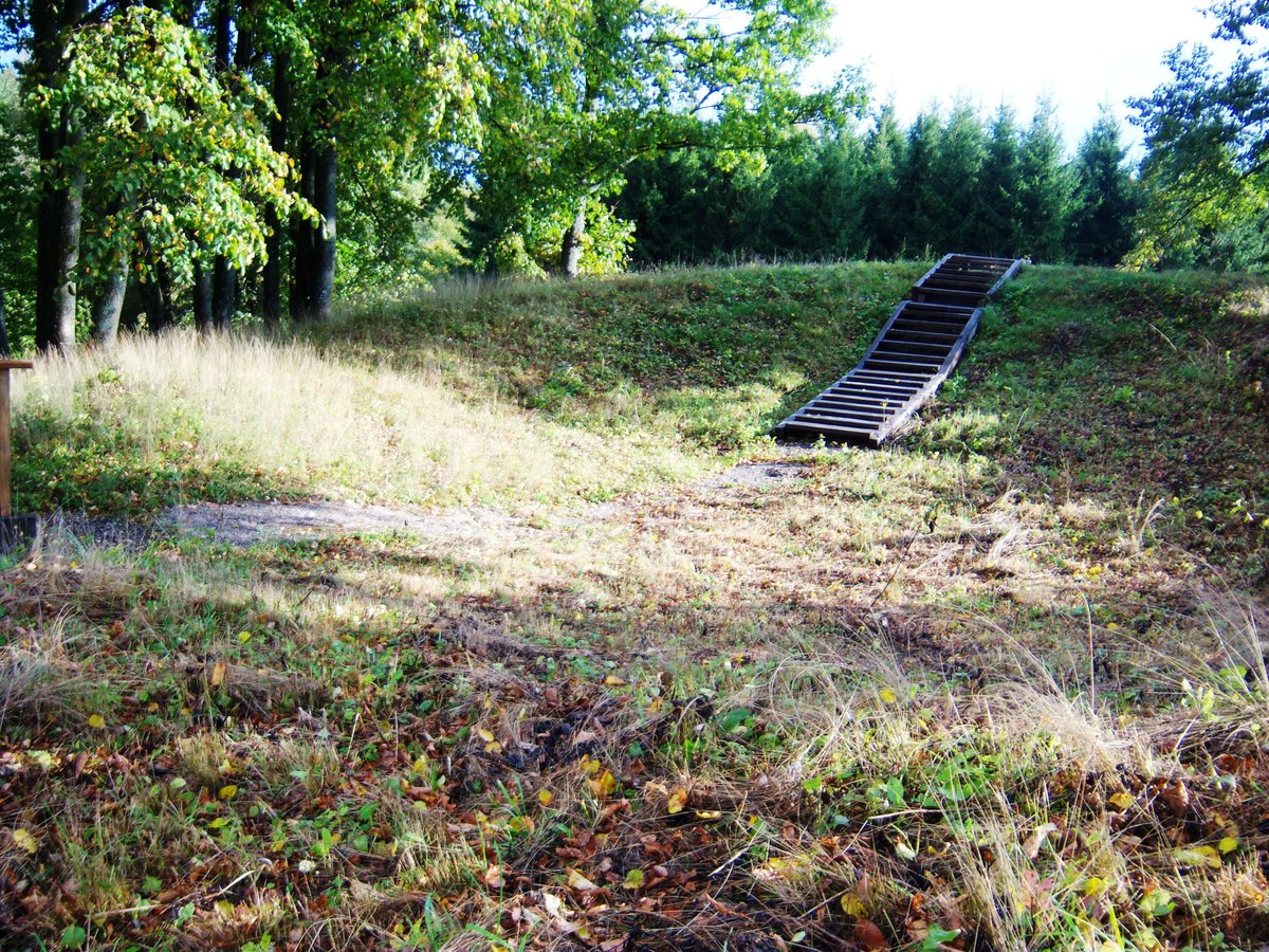
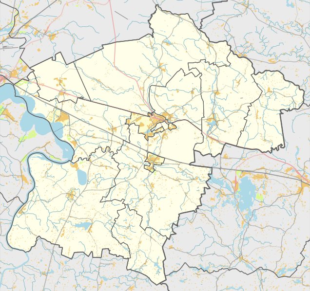
Noreikiškių II piliakalnis is a hillfort located in the Prienų rajono savivaldybės teritorijoje, north of Noreikiškės in the Stakliškės eldership. It is situated 260 m from the turn toward Medžionių. The site is 40 m north of the Noreikiškių I hillfort on the left bank of the Alšios river. The enclosure is trapezoidal, elongated northwest-southeast, measuring 52x32 m and reaching a height of 2 m at the southeast end. Excavations have uncovered grooved ceramics within the site.
The fortification features a 2 m high, 12 m wide embankment on the northeast edge, with a 40 m long, 2 m deep ditch excavated behind it. Another curved embankment, 0.5 m high and 9 m wide, is situated 32 m northeast of the main platform, followed by a 4 m wide, 0.3 m deep ditch and a second 0.5 m high, 4 m wide embankment. The slopes reach heights of 6-10 m. The northwest part of the enclosure is eroding, while the platform is covered in grass and grows with weeds on the northwest and northeast slopes.
Located 30 m northwest of the hillfort in the Alšios valley is a 4 m high mound with an oval enclosure measuring 15x10 m. This mound is separated from its summit by a 14 m wide, 2 m deep ditch on its northeast side. The Institute of History examined the hillfort in 1971. It was declared a cultural monument by a Government resolution on May 19, 1998. The site covers an area of 6700 square meters and appears in the 1973 list of cultural monuments and the 1993 list of historical and cultural monuments.
Archaeological works on the site and surrounding monuments have been documented by Bronius Dakanis in 1994, Algimantas Merkevičius in 1990, and Gintautas Zabiela in 1995.
Sources: Wikipedia, OpenStreetMap, Wikidata, Wikimedia Commons
Written by Nicolo Ciampini
Discuss this with the author and others
No comments yet. Be the first to start the conversation.