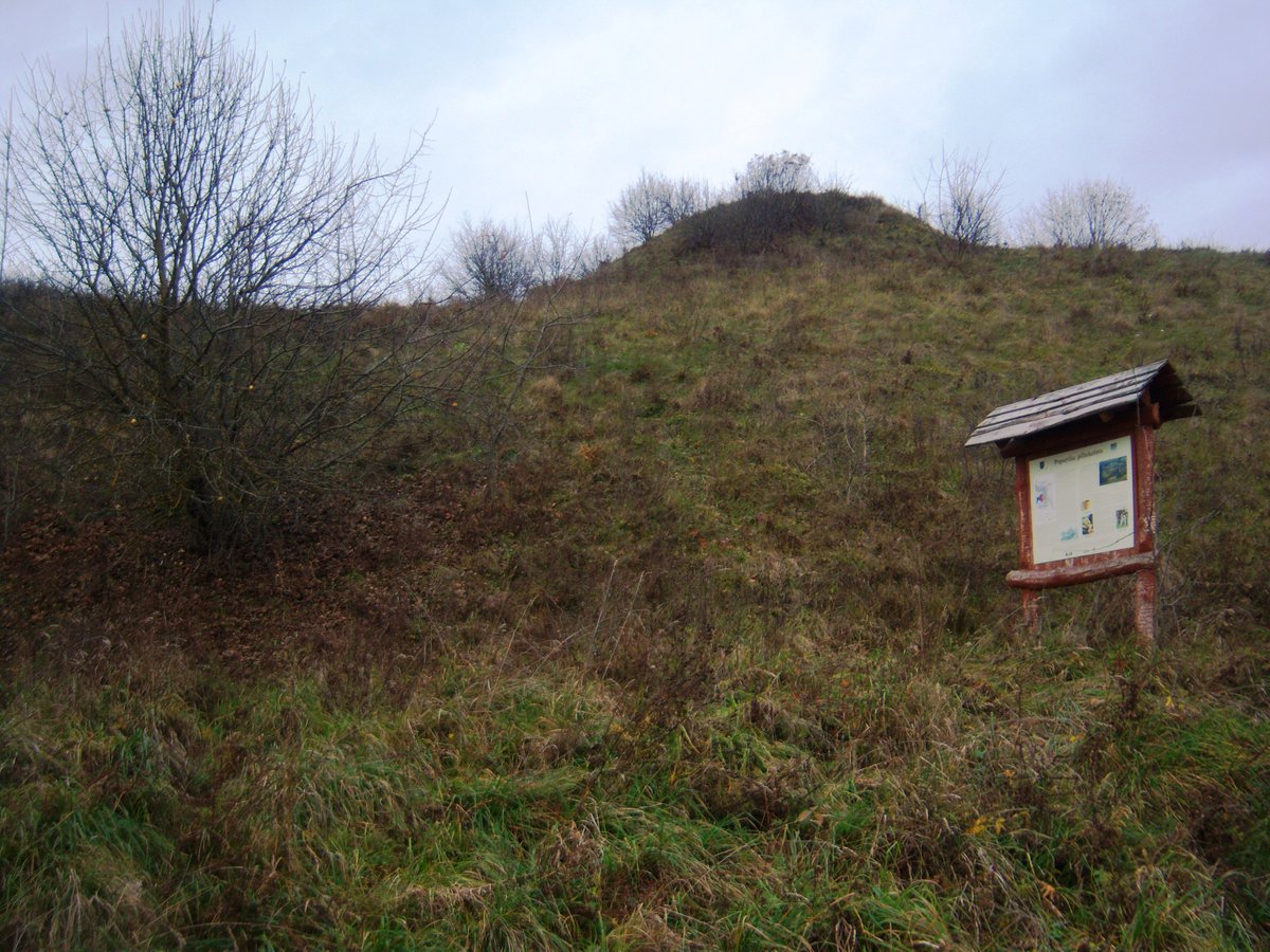

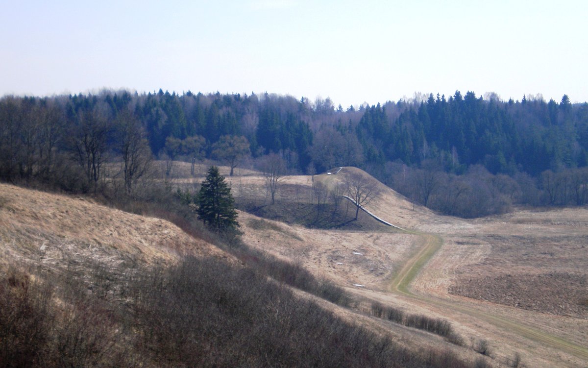
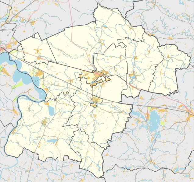
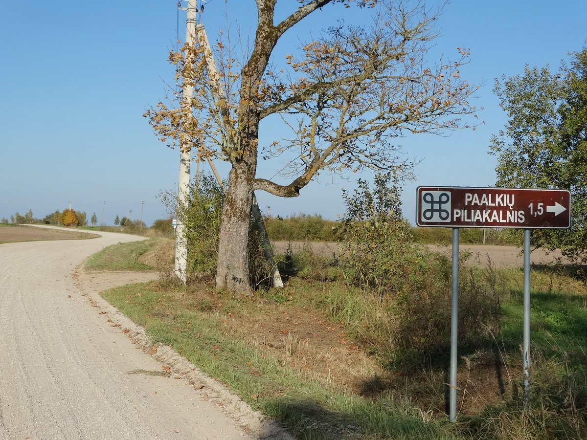
Paparčiai Hillfort, also known as Žydkapis, is an archaeological site and settlement located in the Kaišiadoriai district, east of Paparčiai. It is situated 120 meters to the left in the north, across from the Žiežmaros river. The hillfort is positioned on a promontory on the left bank of the river and covers an area of 21,000 m².
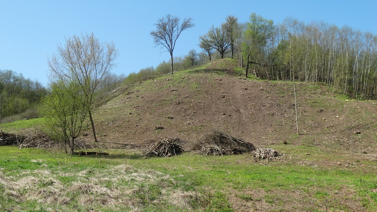
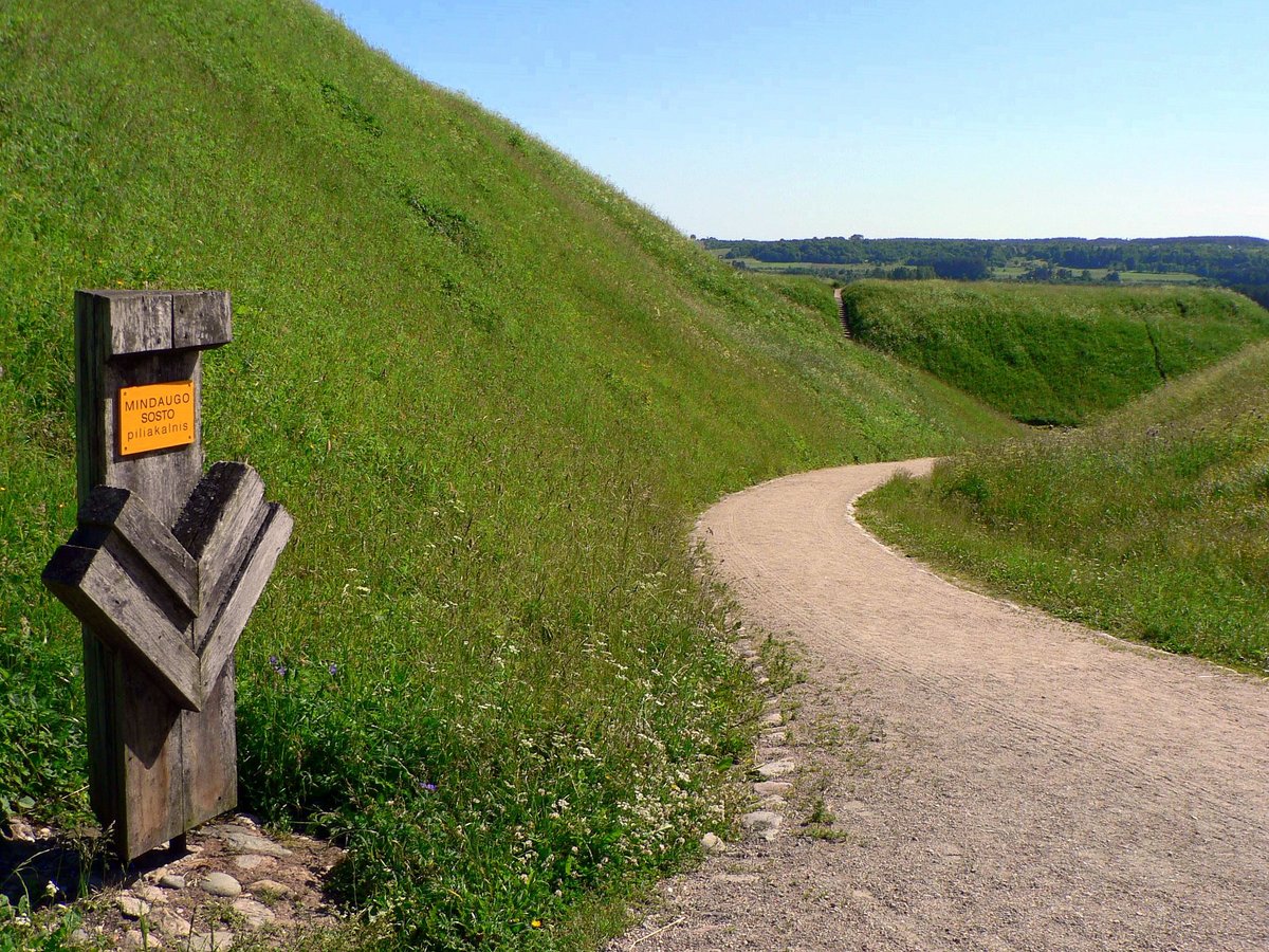
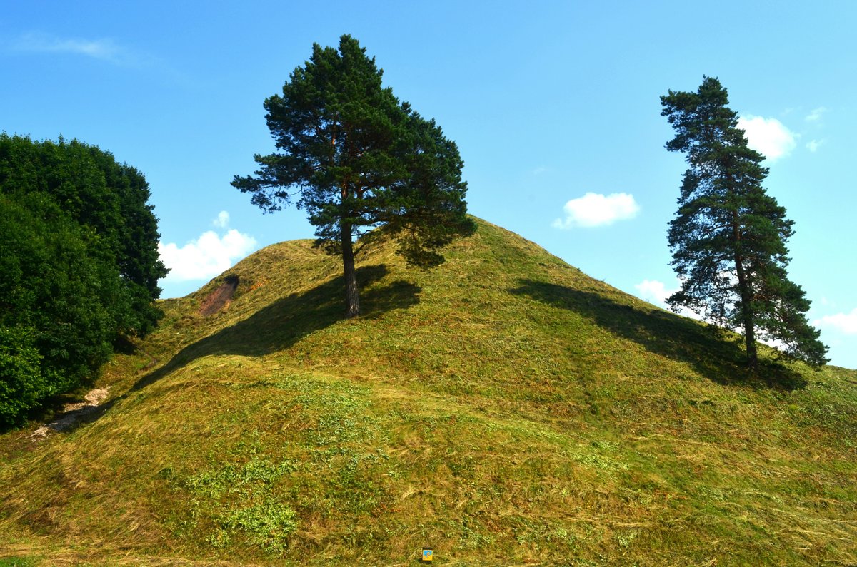
The fortification features an enclosure that is 3 meters long in its center and 7 meters long on the eastern edge. Much of the eastern side has been washed away by the river. On the western side, there is a mound 24 meters long, 3 meters high, and 15 meters wide, which leads into a ditch 25 meters wide and 2 meters deep. The slopes of the hillfort stand between 16 and 18 meters high and are overgrown with grass, with wild lupines growing on the eastern slope.
The site was recognized as a state-protected monument on 2005-04-29. It has been the subject of archaeological research, including a 1971 survey by the Institute of History and more recent studies. Scholars such as Konstantinas Avižonis, Stasys Miglinas, Bronius Kviklys, and Vytautas Daugudis have contributed to the documentation of the site and its surroundings.
Sources: Wikipedia, OpenStreetMap, Wikidata, Wikimedia Commons

Written by Nicolo Ciampini
Discuss this with the author and others
No comments yet. Be the first to start the conversation.