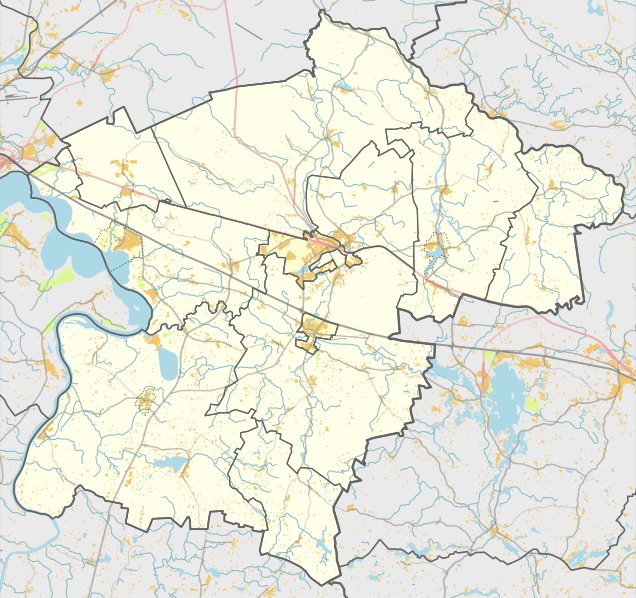

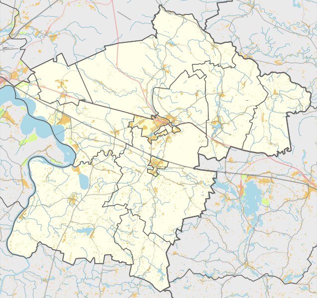
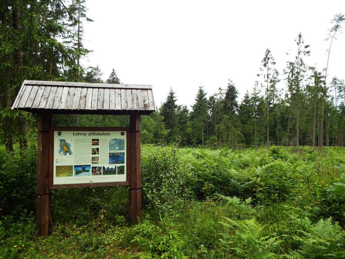
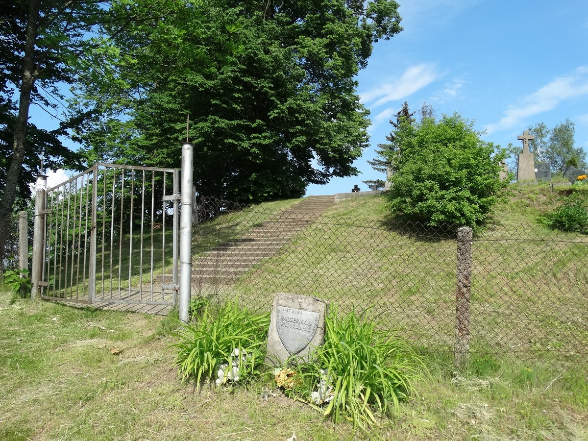
Mančiūnų piliakalnis is a hillfort located in the Kaišiadorių district municipality, near Mančiūnų in the Žasliai eldership. It can be reached via the Žasliai - Zūbiškės road, turning left at the Laukystos river and traveling 300 m to the left.
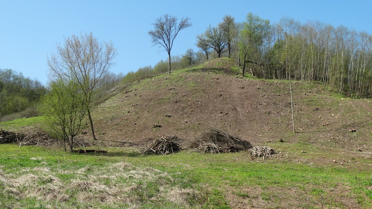
The hillfort is situated on a height on the right bank of the Laukystos river. The site consists of a triangular area, elongated in the northwest - southeast direction, measuring 67 m long and 50 m wide on the northwest side. A semi-circular ramp, 52 m long, 1 m high, and 15 m wide, is filled here. The outer slope of the ramp descends from a height of 1.5 m into a 4 m wide, 0.5 m deep trench. Behind the trench is a second ramp, 0.5 m high and 4 m wide, followed by a second trench, 2 m wide and 0.3 m deep, which is best seen on the northwest slope near the river. The slopes are of medium height, ranging from 13 m to 4 m in the northwest.
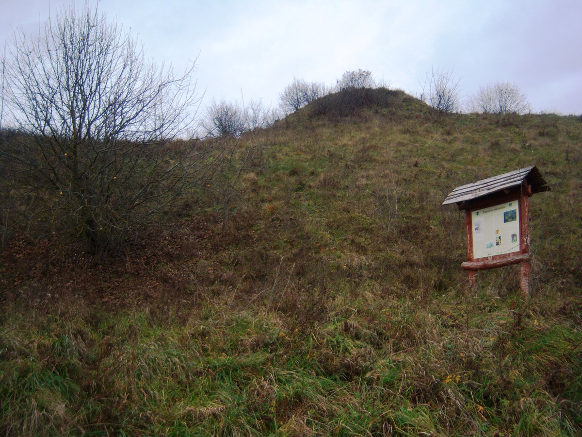
The hillfort is very steep and covered with grass, while the northeast - east slope and parts of the area are overgrown with young pines. Dating back to the first millennium - the beginning of the second millennium, the site was declared a cultural monument by a government resolution on May 19, 1998. The area of the monument is 16,500 m2. In 1971, the History Institute surveyed the hillfort, finding dimensions of approximately 140 x 140 m.
Sources: Wikipedia, OpenStreetMap, Wikidata, Wikimedia Commons

Written by Nicolo Ciampini
Discuss this with the author and others
No comments yet. Be the first to start the conversation.