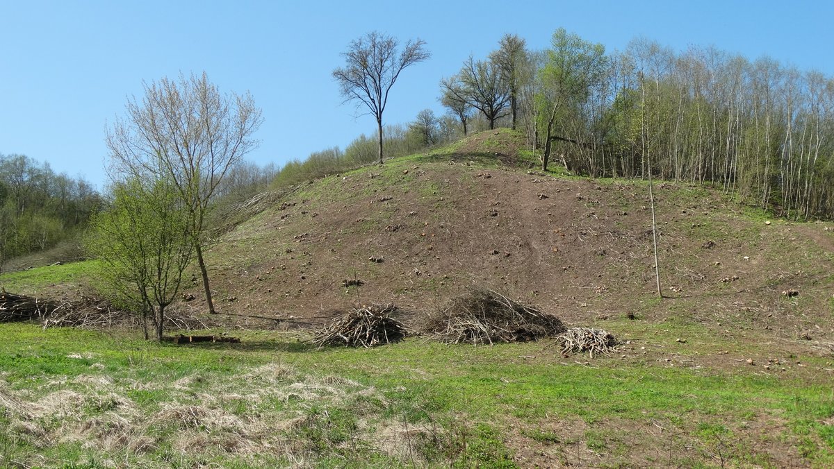
Known colloquially as Skarbo Kalnas (treasure hill), the Budeliai hillfort is an archaeological site situated in Kaišiadorių rajono savivaldybės territory, near Budeliai, Žasliū seniūnija. Accessible from the Kaišiadorys–Stabintiškės–Čiobiškis road, the hillfort is situated on the left bank of the Neris, forming two mounds, from which the Green Mound extends to the west. The main mound has a rectangular shape, with a width of 24 meters and a length of 13 meters. The height of the mound is up to 25-26 meters. The hillfort is protected, mounds surrounded by ditches. The I-II Iron Age archaeological findings at the hillfort include pottery, shards, and artifacts.
Sources: Wikipedia, OpenStreetMap, Wikidata, Wikimedia Commons
Written by Nicolo Ciampini
Discuss this with the author and others
No comments yet. Be the first to start the conversation.