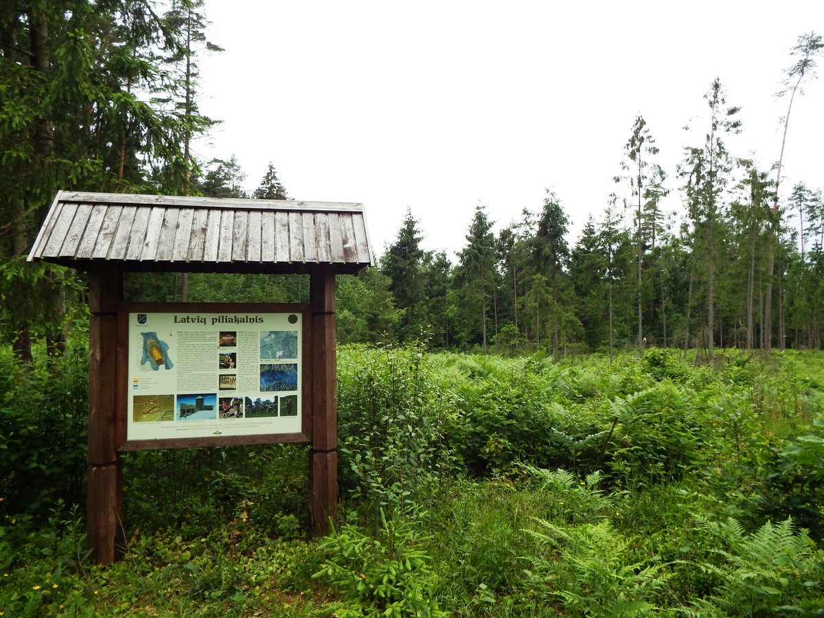

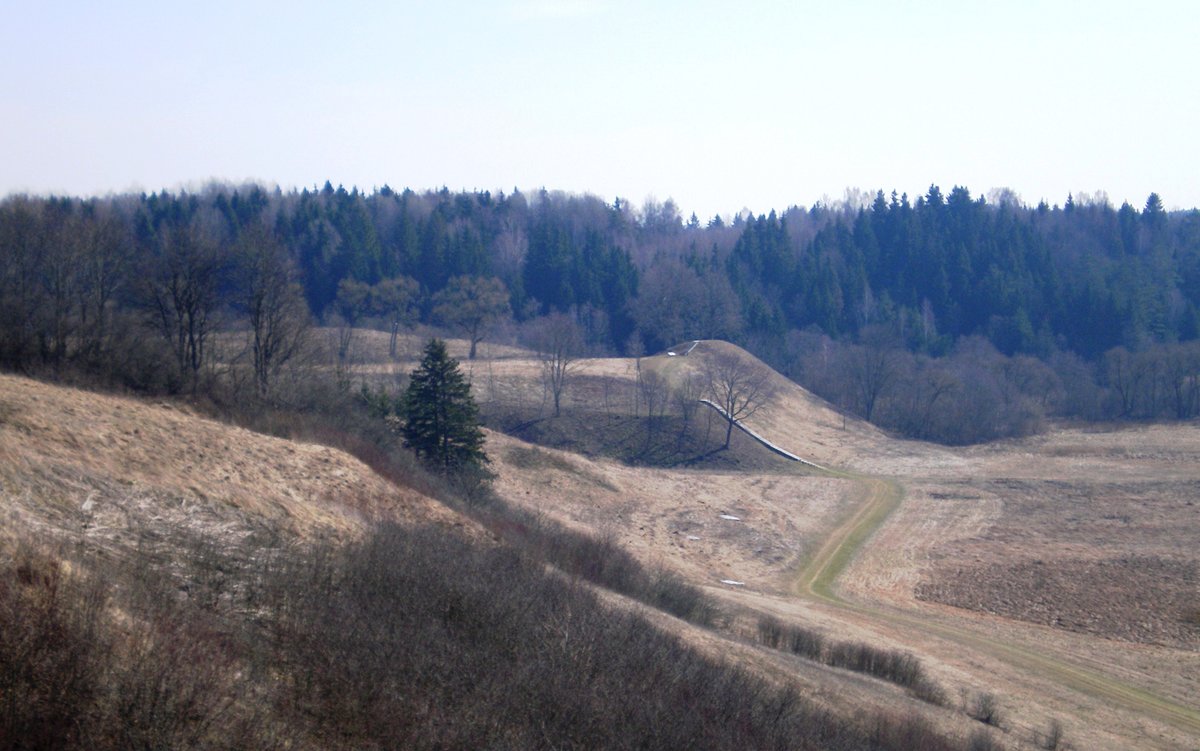
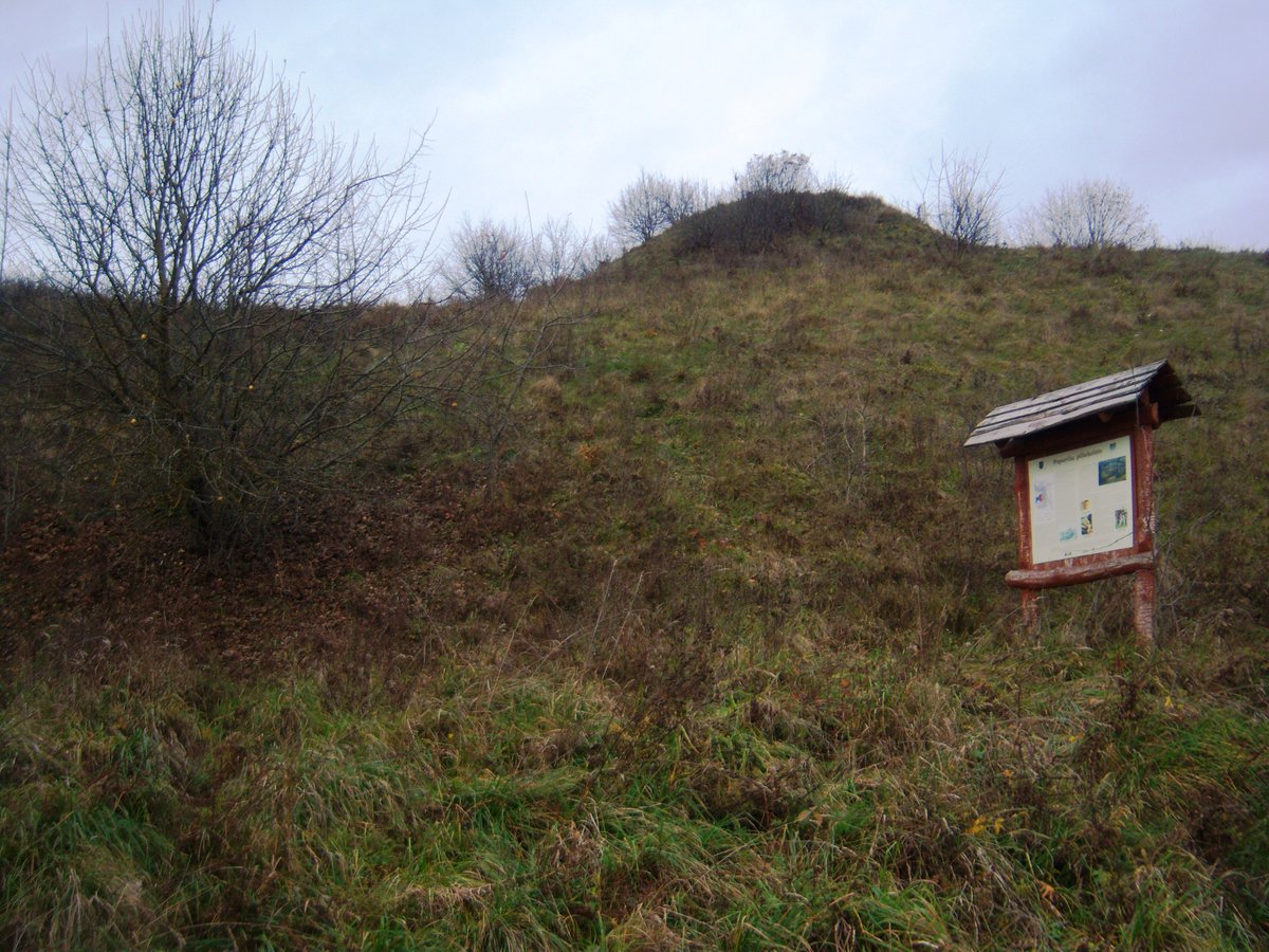
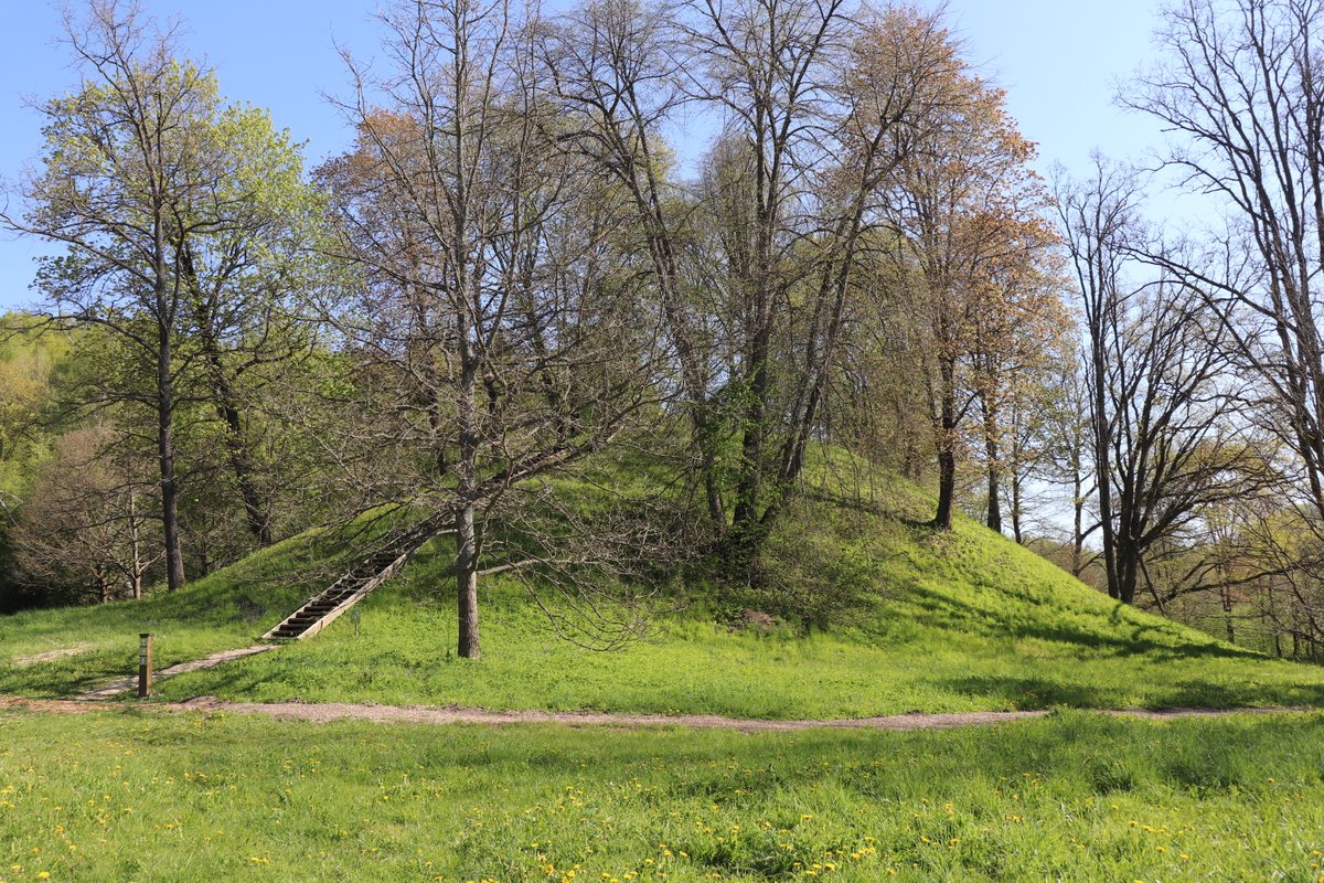
Latvių piliakalnis is a hillfort located in the territory of the Elektrėnai municipality, west of the village of Latviai. It sits on a high point by the right bank of the Sukros stream in a valley of deep streams.
The site is a triangular clearing, 58 m long and 28 m wide in the southern part. Archaeological research into the cultural layer found corded ceramics. The hillfort is surrounded by thickets and ferns that have grown over the cleared area.
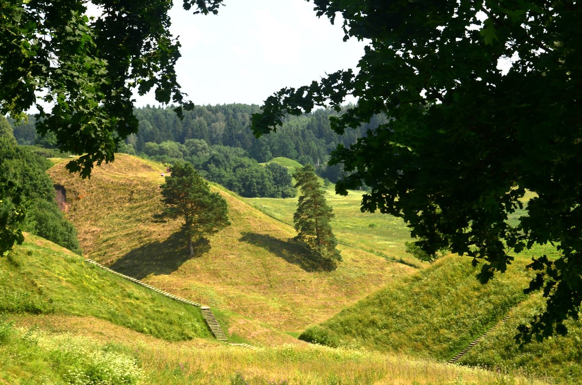
The engineering of the site features three straight ramparts with three trenches dug between them. The first rampart is 0.5 m high and 6 m wide, followed by a 2 m deep trench, then a second rampart 1 m high and 4.5 m wide. A second trench, 1.2 m deep and 2.5 m wide, leads to a third rampart 1 m high and 4.5 m wide, with a final trench of 4 m width and 0.9 m depth. The slopes from the streams rise up to 17 m high.
Sources: Wikipedia, OpenStreetMap, Wikidata, Wikimedia Commons

Written by Nicolo Ciampini
Discuss this with the author and others
No comments yet. Be the first to start the conversation.