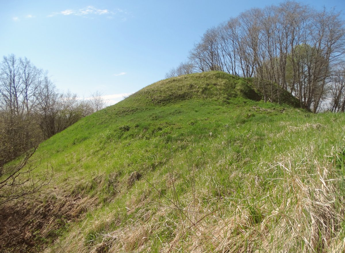

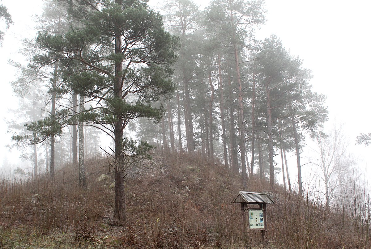
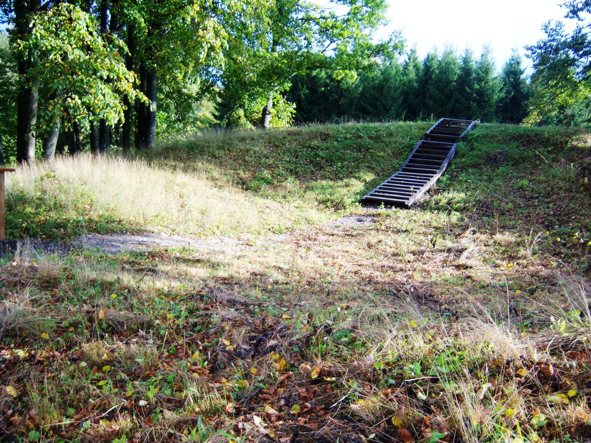
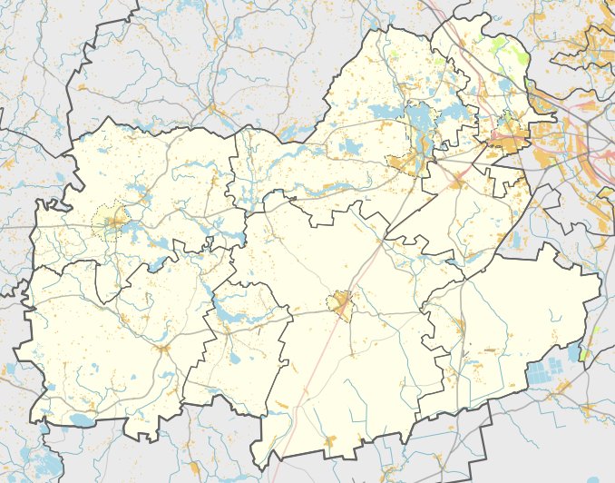
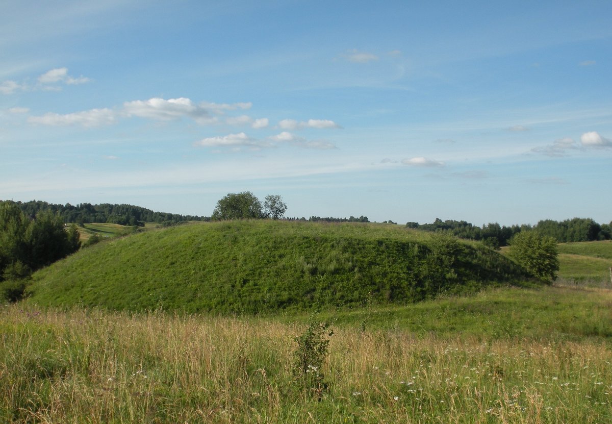
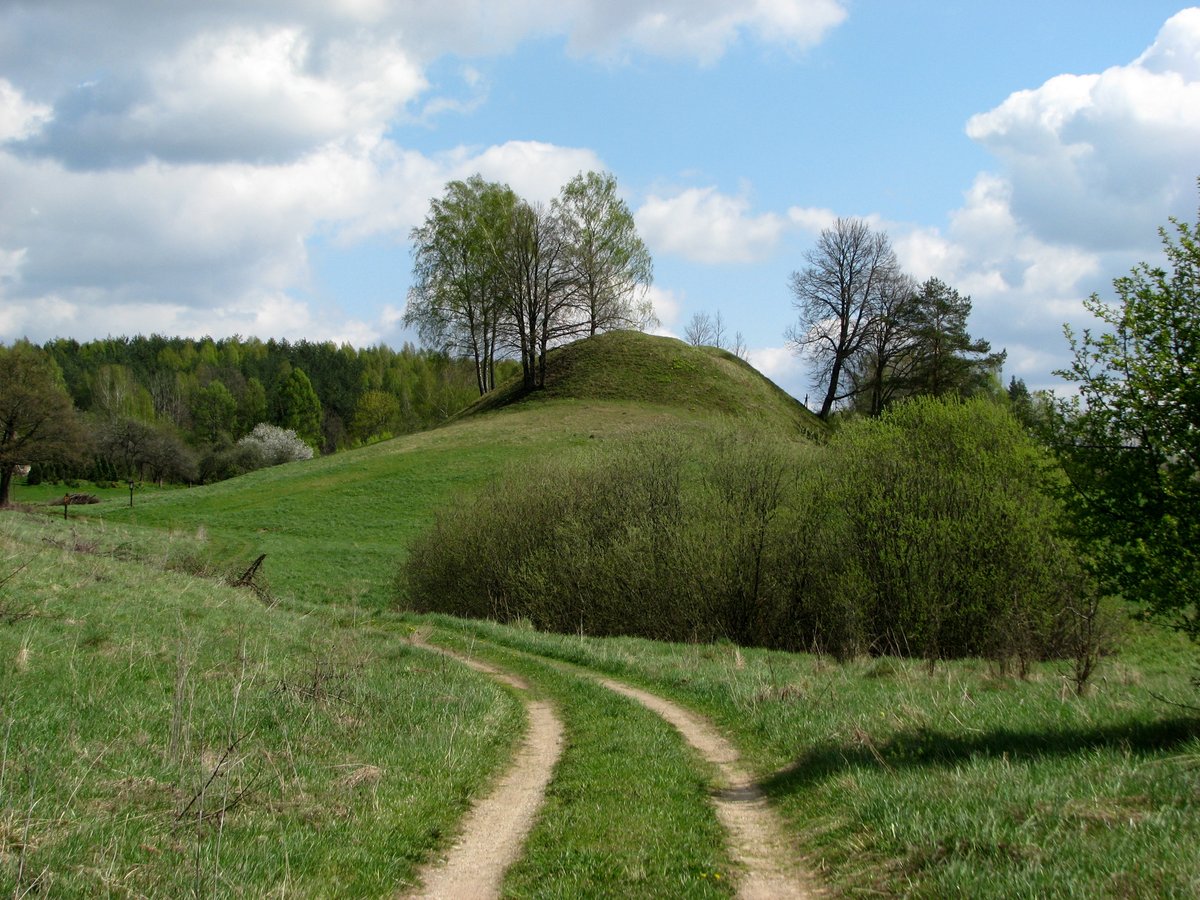
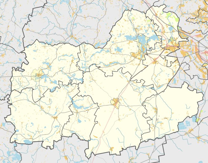
The archaeological site of Žuvyčiai Hillfort is located on the edge of the hill on the left bank of the Vuolasta stream. It is situated 100 m south of former farms, accessible via a gravel road from Semeliškės turning left towards the west at Mūro Strėvininkai, about 400 m from the road.
The fortification features a rectangular enclosure measuring 22x18 m, elongated in a north-west to south-east direction. It is 2 m lower on the north-western side. On the north-eastern edge, there is a 1 m high, 12 m wide embankment. The south side shows remains of an 8 m wide embankment, destroyed to leave a 13 m wide platform with visible remains on the slope leading towards the Vuolasta. The slopes reach 4.5 m in height to the east and 20 m in height to the west.
Archaeological findings in the southern slope include layers of smooth and coarse ceramics. The site is heavily eroded by plowings and is currently covered in grass. Dating from the 1st millennium to the beginning of the 2nd millennium, the site was surveyed in 1971. It was officially recognized as a state-protected monument on April 29, 2005. The total area of the monument territory is 17,000 m², with a visual protection zone of 612,800 m².
Sources: Wikipedia, OpenStreetMap, Wikidata, Wikimedia Commons
Written by Nicolo Ciampini
Discuss this with the author and others
No comments yet. Be the first to start the conversation.