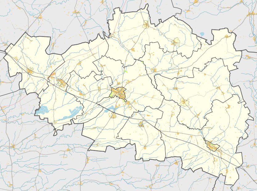

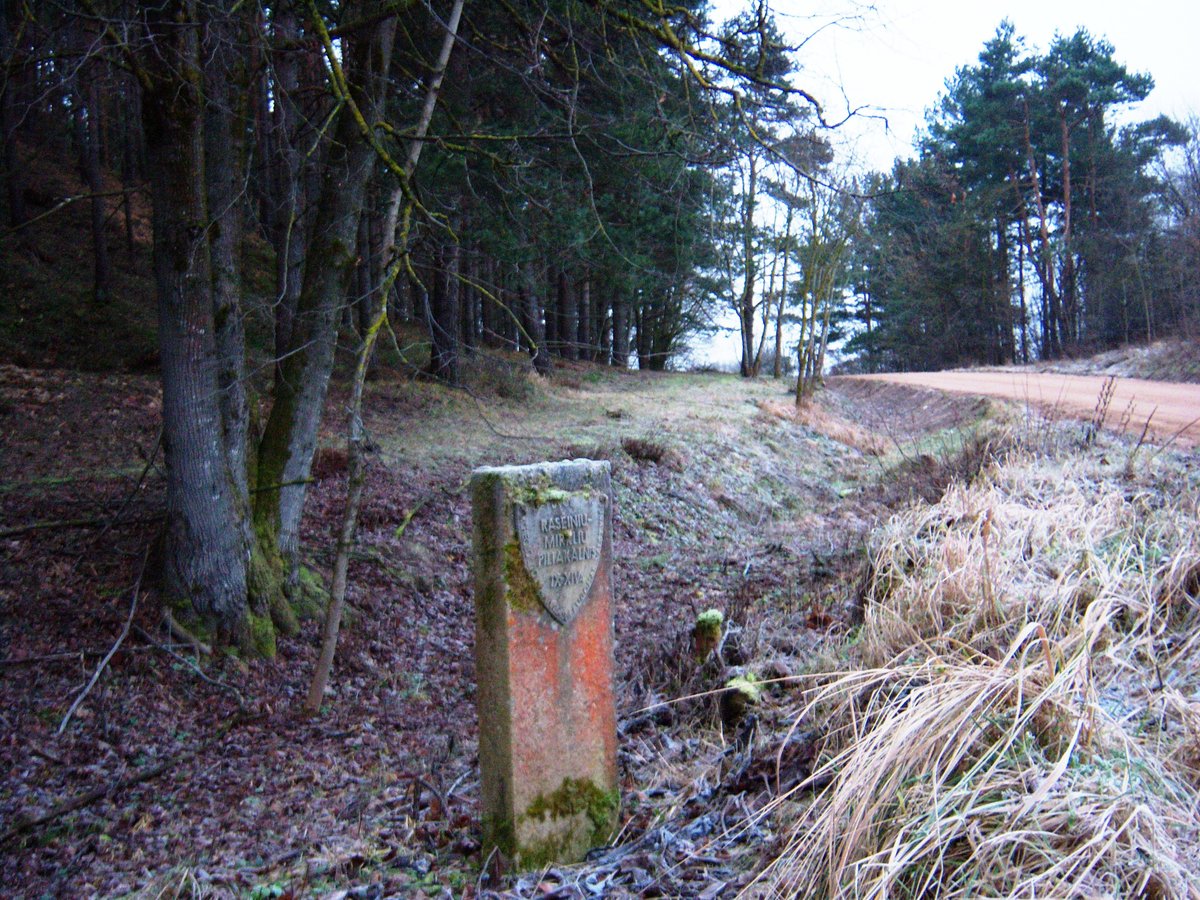
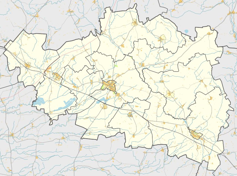
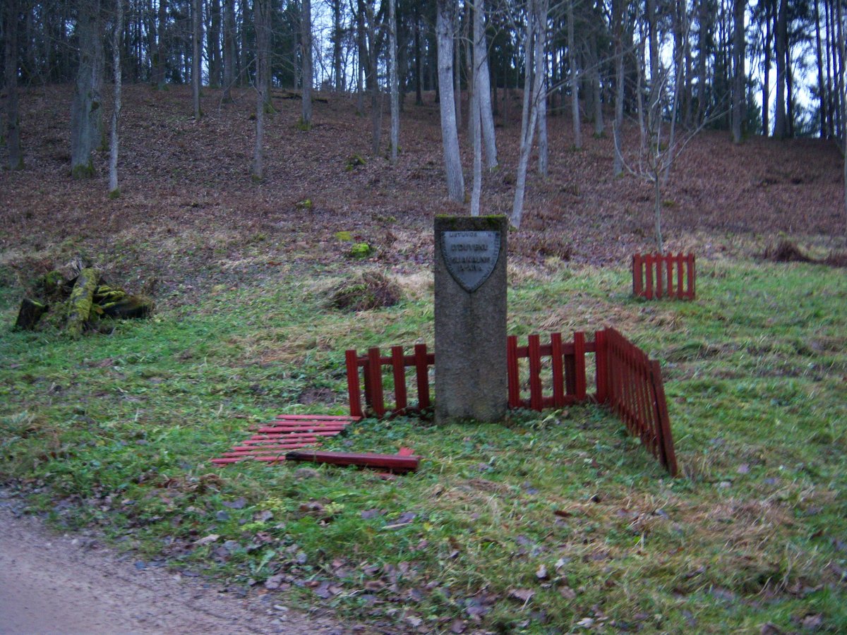
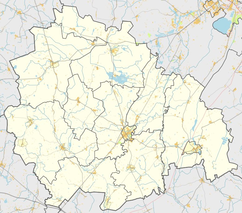
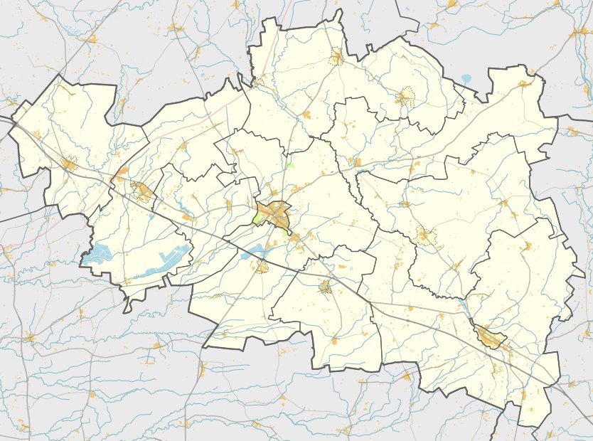
In the Viduklės eldership of Raseiniai district, there lies an archaeological site known as Galkaičių piliakalnis, also called Gručkalnis. This site, which carries the unique object code MC 23758, dates from the first millennium to the beginning of the second millennium. It is located on the northeastern bank of a lake, accessible via a path from the Paliepiai - Anžiliai road through former farms and meadows for about 900 meters.
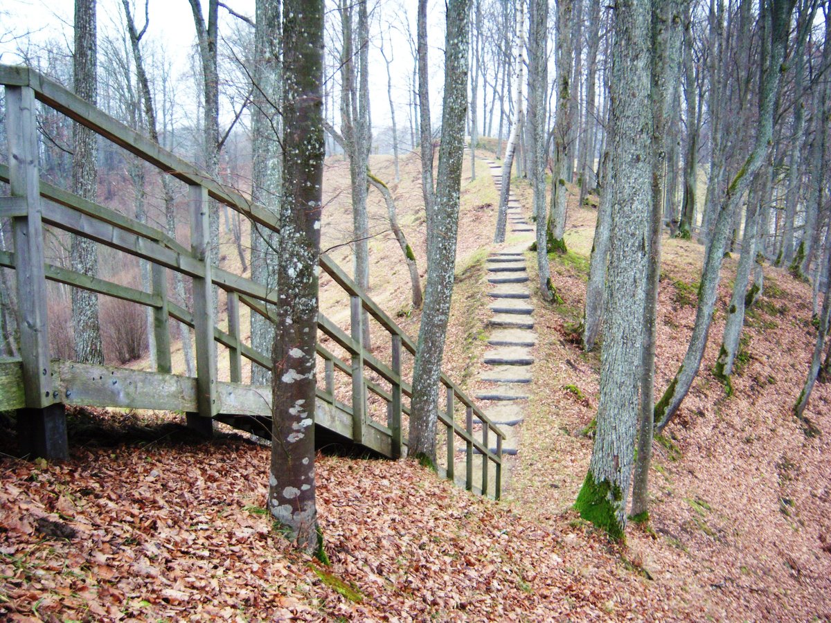
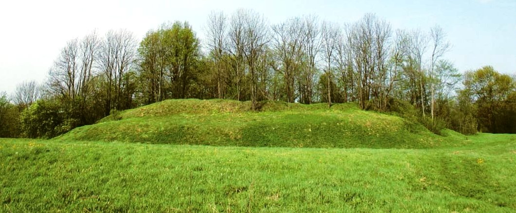
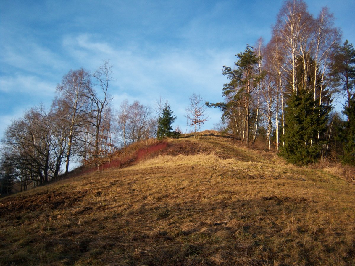
The hillfort is situated on a height on the left bank of a body of water, which is now a lake. The site features a triangular clearing 22 meters long and 15 meters wide on the northwest side. It contains a 3-meter high, 20-meter wide mound with an outer slope 4.5 meters high, leading down into a ditch that is 28 meters long, 12 meters wide, and 1.5 meters deep. The slopes of the mound reach a height of 8.5 meters.
On a 1 ha plot on the northern slope of the hillfort is a hillfort settlement. The site was declared a cultural monument by a decree in 1998. The protected area covers 3.86 hectares. In 1967, the Institute of History conducted an initial survey of the hillfort.
Sources: Wikipedia, OpenStreetMap, Wikidata, Wikimedia Commons
Written by Nicolo Ciampini
Discuss this with the author and others
No comments yet. Be the first to start the conversation.