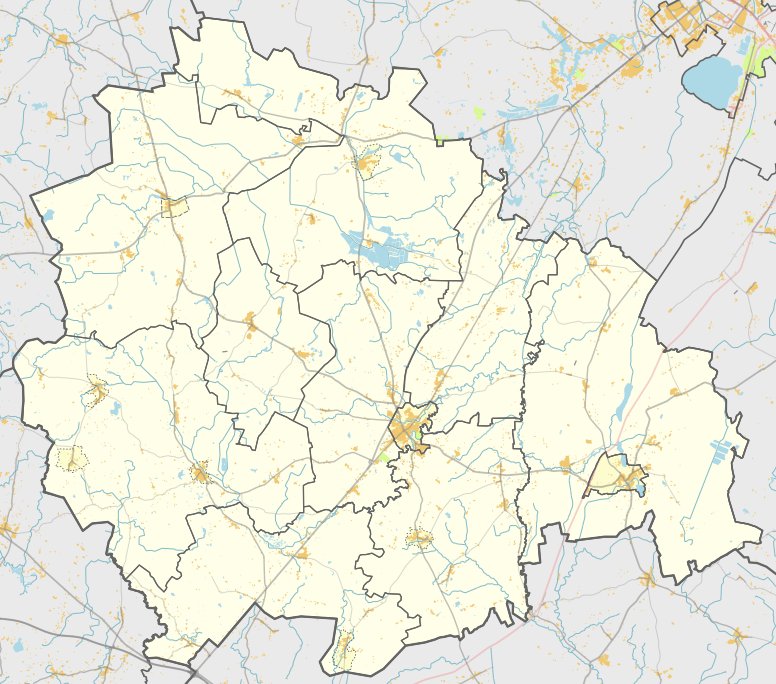

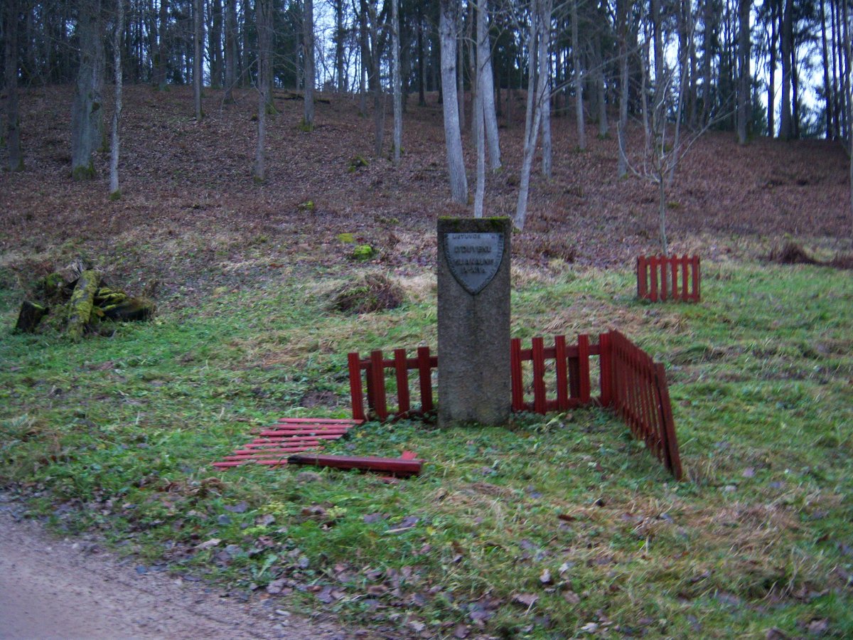
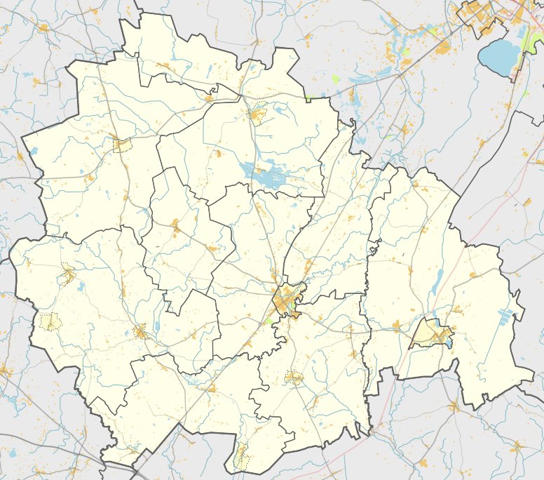
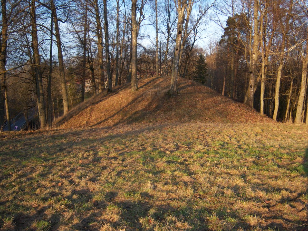
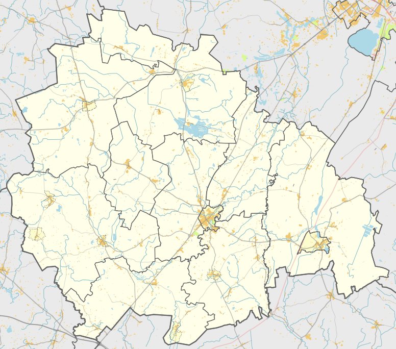
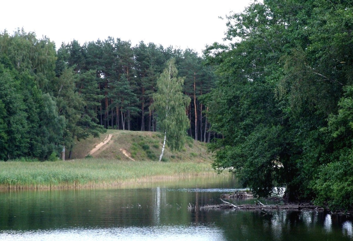
Gaučiškės piliakalnis, also known as Lioliai or Vainikės kalnas, is a hill fort situated in the Kelmė district, southeast of the village of Lioliai. It is reached by traveling 1.1 km on the Lioliai - Gailiai road through Flerijonienė, then turning southwest for 450 m along a field road. The site sits on a promontory on the left bank of the Dratvinis river, bordered by a marshy valley to the southwest and fields on other sides.
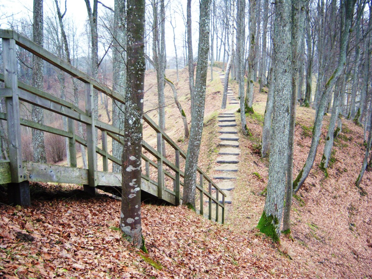
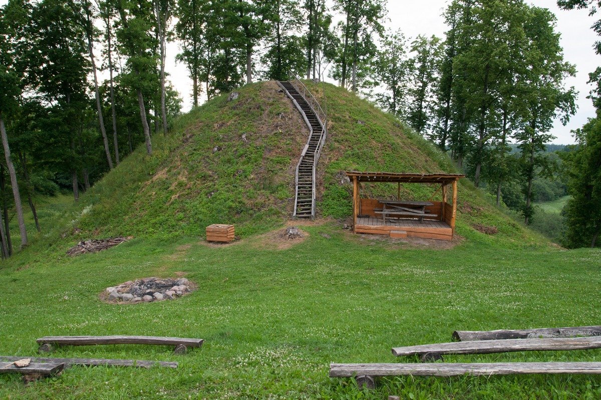
The hill fort features an oval plateau measuring 19 by 17 metres, which was larger in 1967. At the plateau, the land drops by 2 metres, with terraces of 6-14 m on all slopes except the southwest. On the southeast slope, there is a 0.5 m high mound of quarry debris. The slopes have a medium steepness, reaching heights of up to 13 metres.
The site is heavily marked by old quarries and large pits dug into the plateau. It is sparsely covered with pines. Archaeological research was conducted at the site in 1967 by the Institute of History, dating the hill fort to the beginning or middle of the first millennium.
Sources: Wikipedia, OpenStreetMap, Wikidata, Wikimedia Commons
Written by Nicolo Ciampini
Discuss this with the author and others
No comments yet. Be the first to start the conversation.