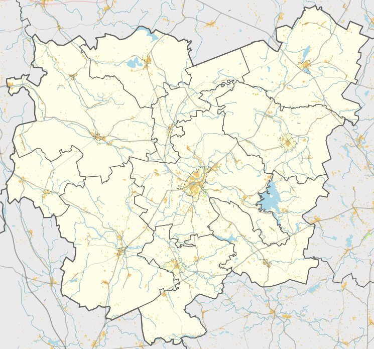

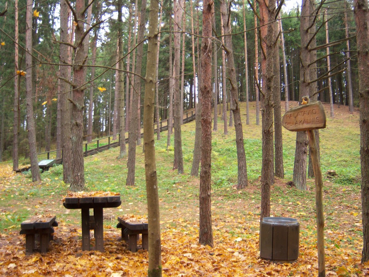
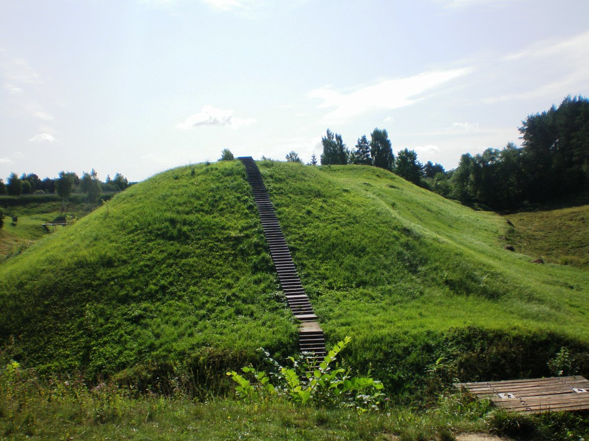
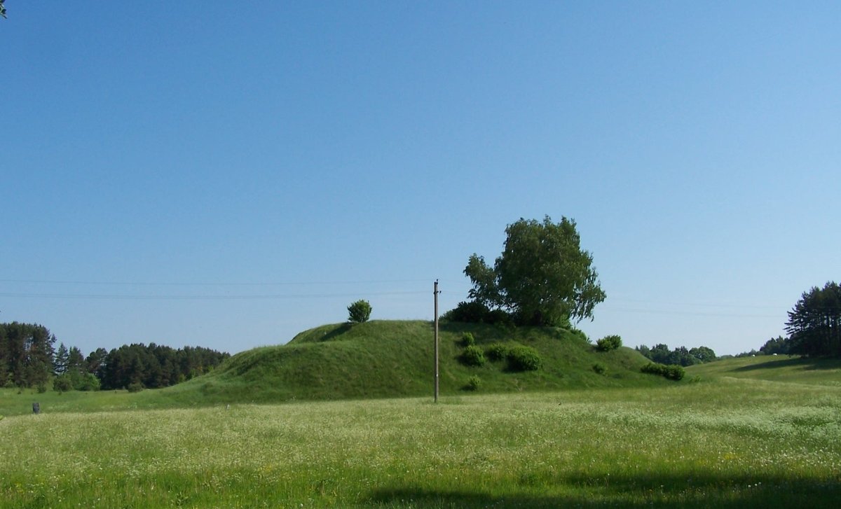
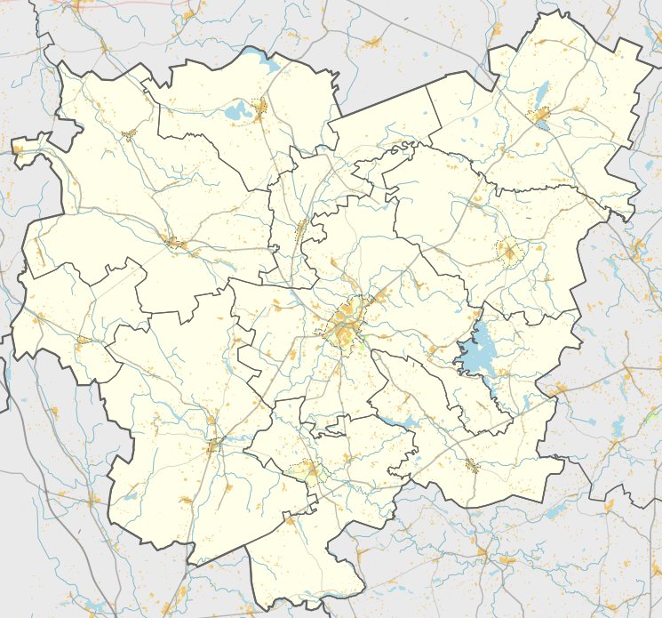
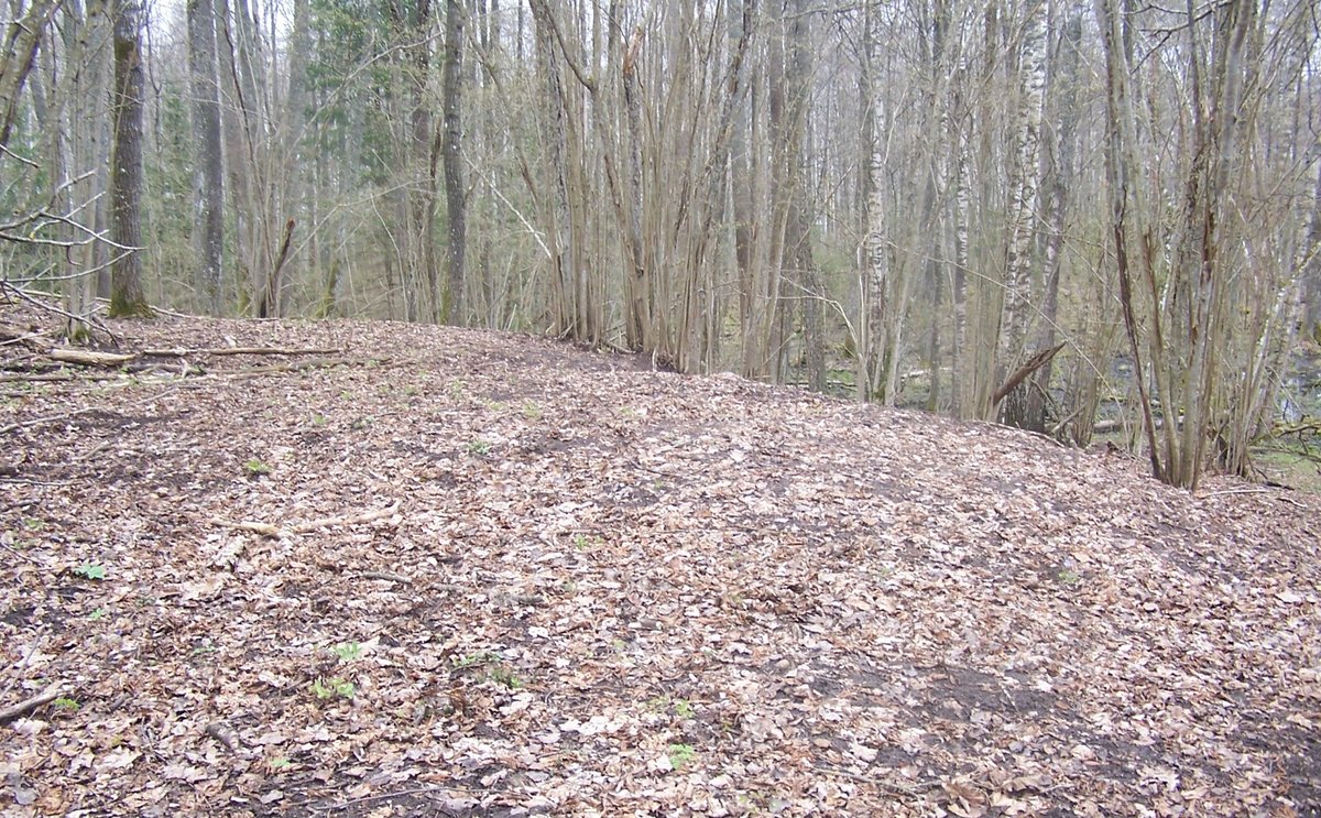
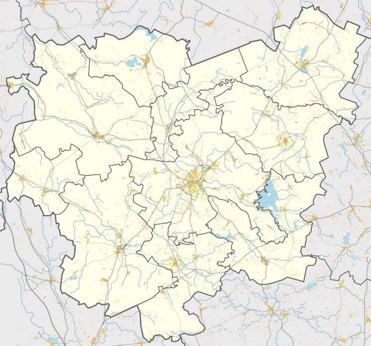
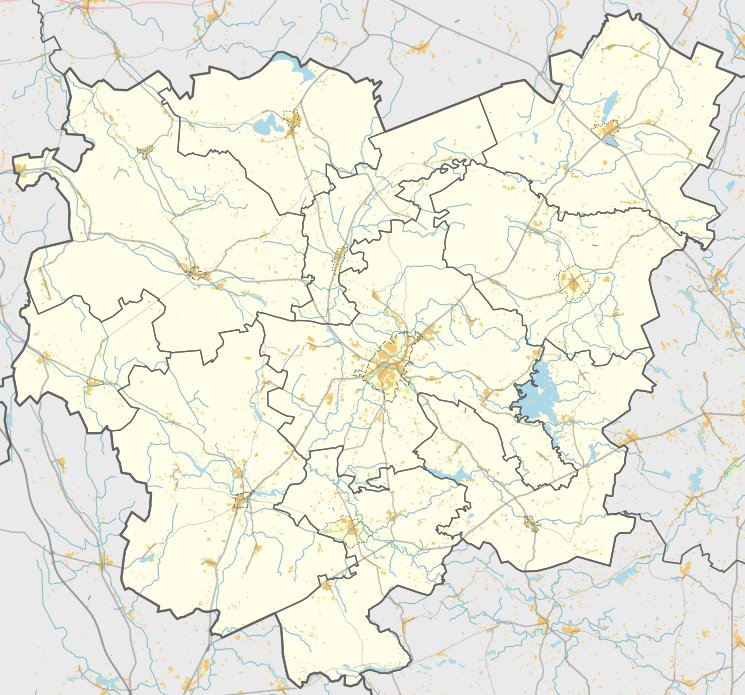
The Lašiniai hillfort was located on the left bank of the Taurožė stream at its confluence with the Šventoji river. Over time, the river shifted its course, and the Taurožė eventually washed away most of the structure. Today, only a 3.5-meter high section of the southwestern slope remains, measuring 11 by 2 meters with a flat top. The surrounding area includes an 8-meter high eroded slope and a natural trench about 3 meters deep, which separated the site from the surrounding landscape.
Sources: Wikipedia, OpenStreetMap, Wikidata, Wikimedia Commons

Written by Nicolo Ciampini
Discuss this with the author and others
No comments yet. Be the first to start the conversation.