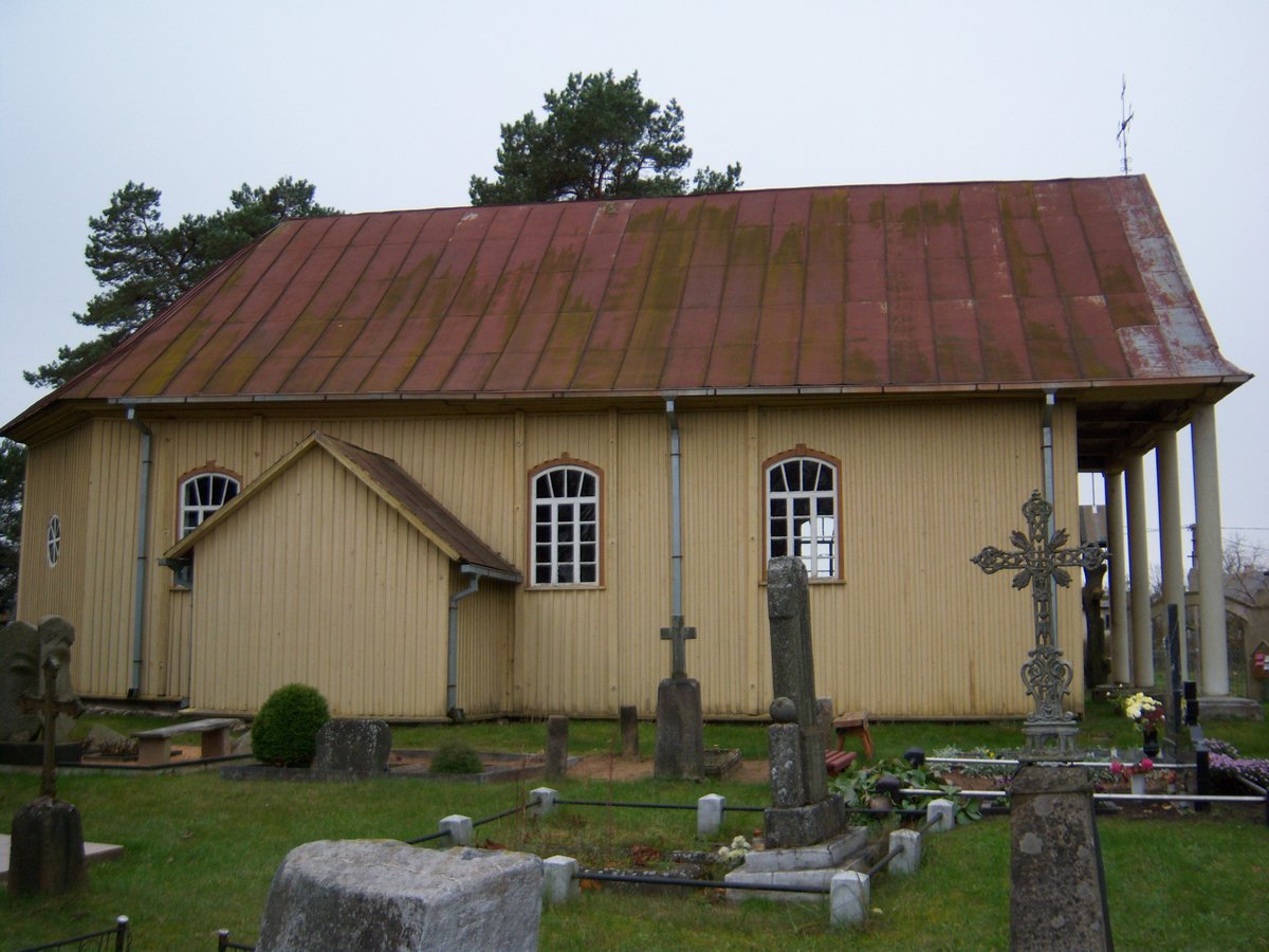

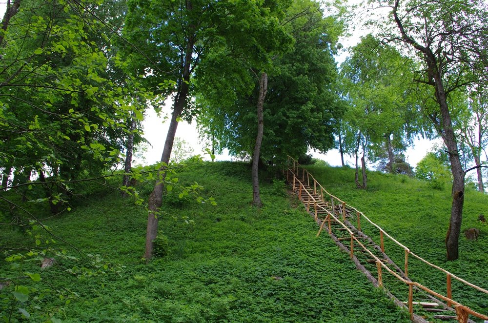
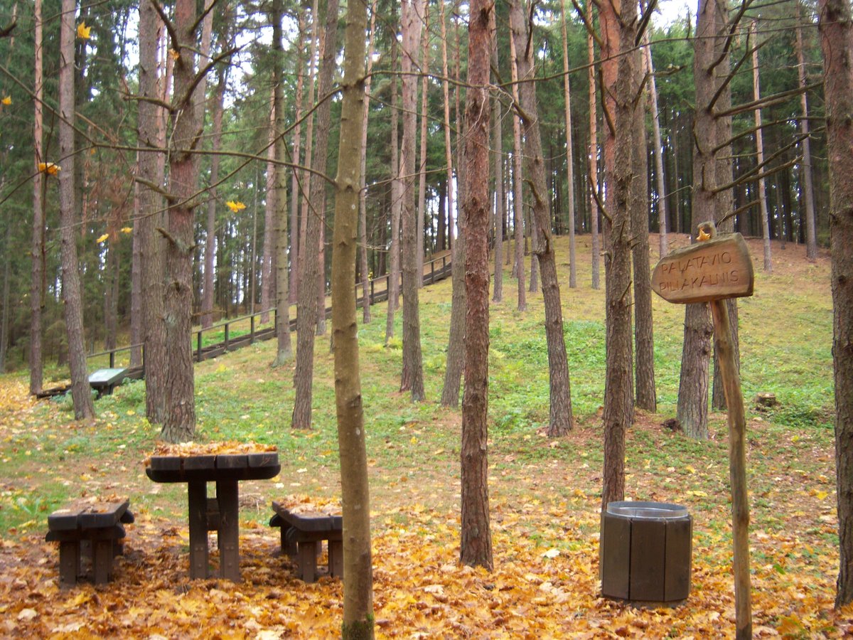
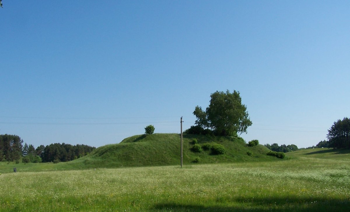
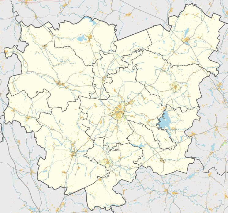
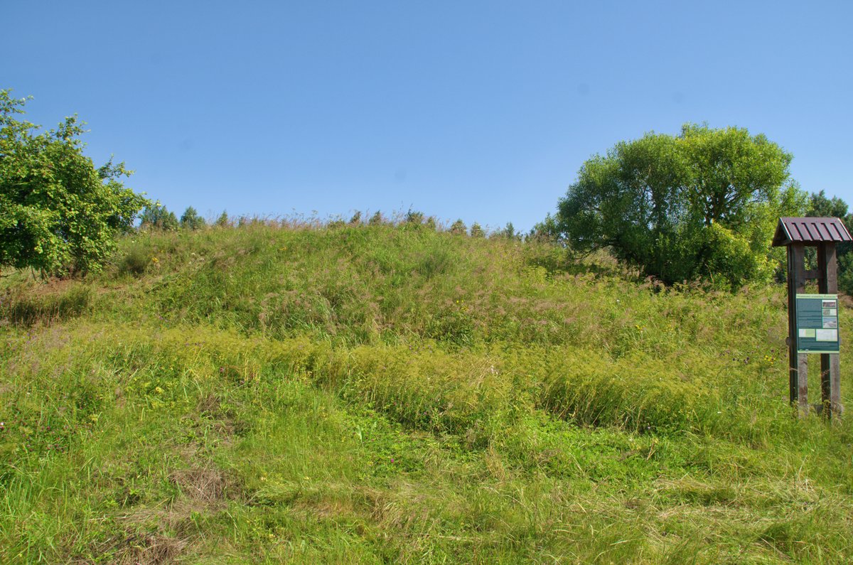
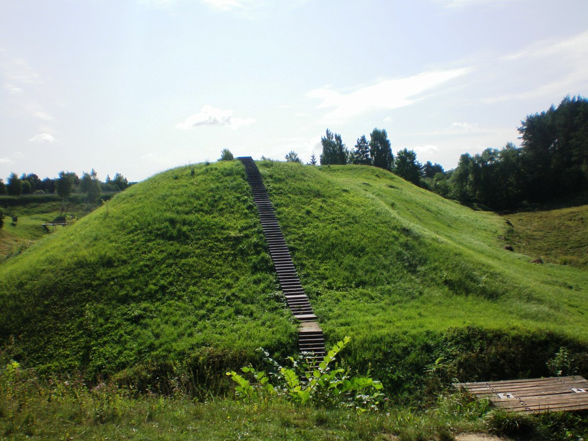
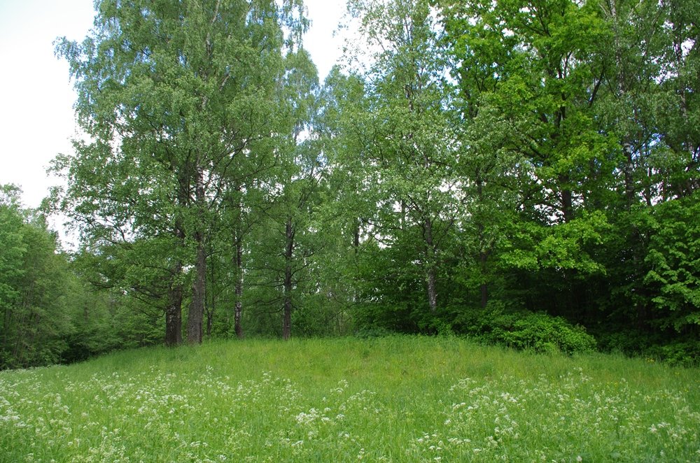
The Papilių piliakalnis, also known as Kaukazas, is an archaeological site and hillfort located in the village of Papiliai. It sits on the right bank of the Papilio river, bordered by the Pelyšos stream to the west and the Viešintos valley to the north. The site is recognized as a protected cultural monument, dating back to the beginning of the first millennium BC.
The fortification features an oval-shaped clearing, measuring 32 by 25 metres, which is slightly sunken in the middle. It contains a cultural layer approximately 20 centimetres thick. The terrain shows earthworks including a 0.3 metre high rampart that is 10 metres wide on the south-southwest edge and a 5 metre wide rampart on the west edge. The slopes of the hillfort reach heights of up to 5 metres. Due to the erosion of the slopes and the clearing, it is difficult to determine if the ramparts were intended to protect only the south-southwest edge of the clearing or the entire area from the south and west.
Archaeological research has identified a settlement located at the foot of the hillfort to the south-southeast. This settlement covers an area of 0.5 hectares and has yielded finds of incised ceramics. The overall protected territory of the site covers 12,000 square metres, with a physical protection zone of 3,000 square metres. The site continues to be a point of interest for its historical and archaeological significance.
Sources: Wikipedia, OpenStreetMap, Wikidata, Wikimedia Commons

Written by Nicolo Ciampini
Discuss this with the author and others
No comments yet. Be the first to start the conversation.