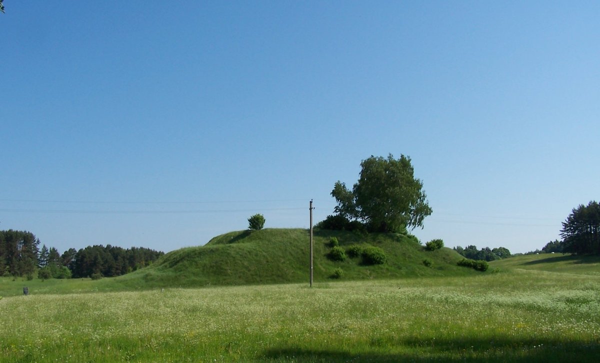

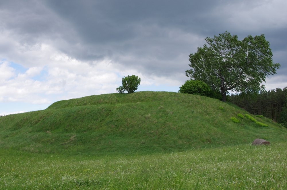
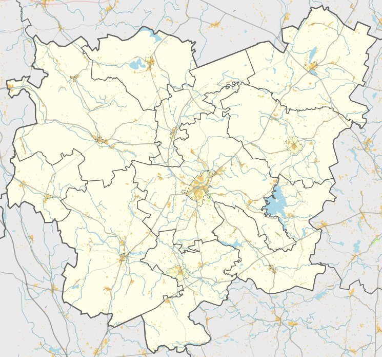
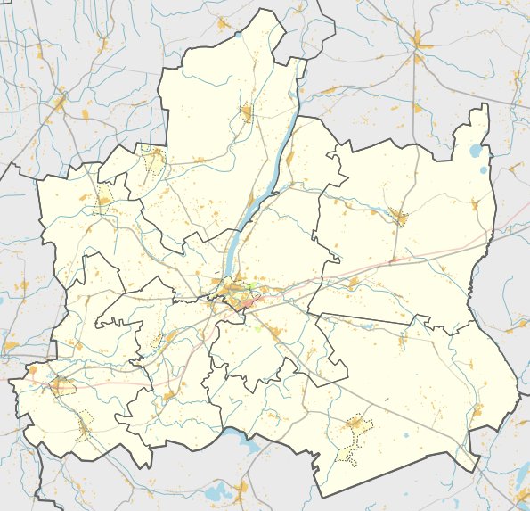
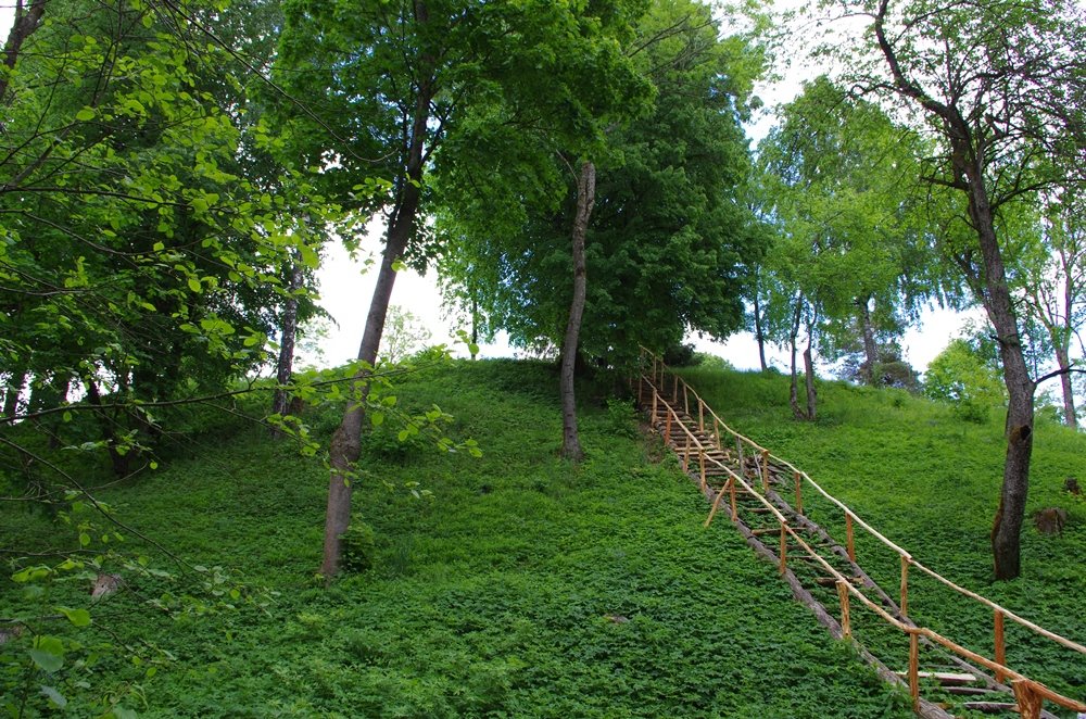
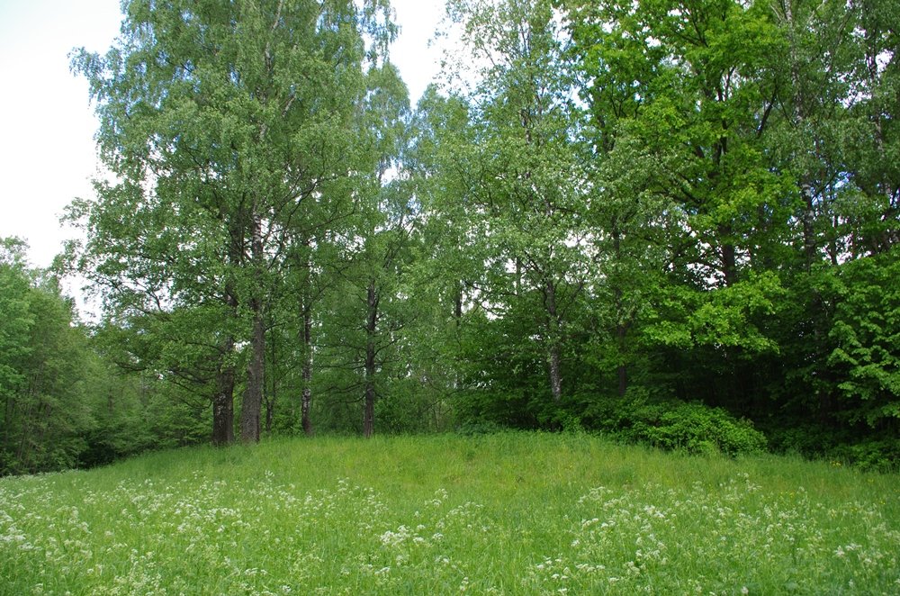
Located in the Kupiškis district to the northeast of the village of Gaigaliai, Gaigalių piliakalnis is a hillfort and settlement dating from the end of the 1st millennium to the 2nd millennium. Situated on the eastern edge of the Šepetos marsh, the site was formed by cutting a wedge-shaped hill from the swamp. The hillfort stands about 9 meters high, featuring a rectangular summit plateau measuring 29 by 27 meters with rounded corners.
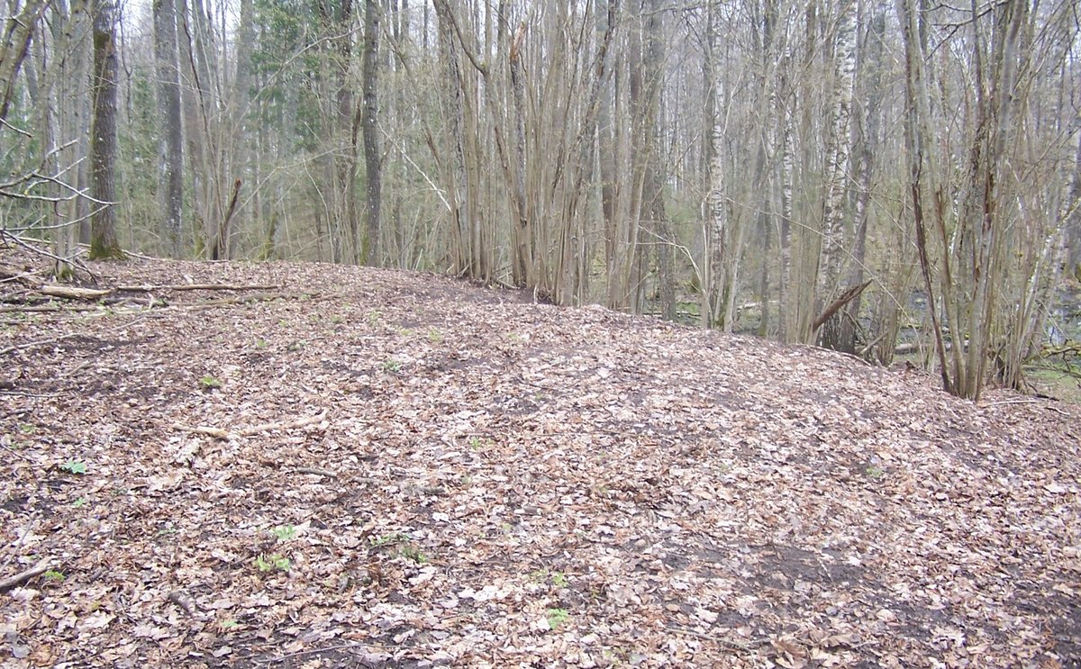
The terrain includes several man-made levels. On the north-western slope, about 3 meters below the plateau, lies a terrace 30 meters long and 5 to 7 meters wide. A second terrace, measuring 40 meters long and 5 to 6 meters wide, is located about 2.5 meters below the plateau on the south-eastern slope. A third terrace was connected to the north-eastern slope by leveling the slope. Excavations in 1989 revealed that a defensive ditch, which has since been filled in, once stood at the site of the terrace with a wooden defensive wall on its exterior.
The site was described by researchers such as Konstantinas Gukovskis, Fiodoras Pokrovskis, and Liudvikas Kšivickis, and by Petras Tarasenka in 1943. Archaeological research was conducted in 1969, and by archaeologists in 1971 and 1980. These studies identified an ancient settlement on the northern and south-western slopes, where the cultural layer remains preserved. Items found include parts of two clay pottery spindle whorls with grooved and rough surfaces and hook-shaped ornaments, which are now kept in a museum.
Sources: Wikipedia, OpenStreetMap, Wikidata, Wikimedia Commons


Written by Nicolo Ciampini
Discuss this with the author and others
No comments yet. Be the first to start the conversation.