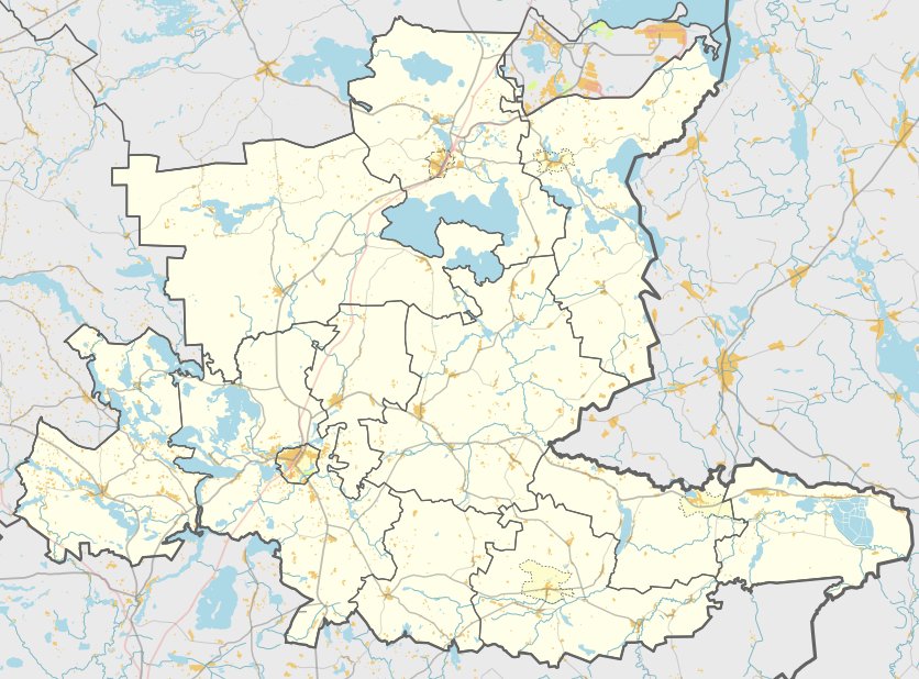

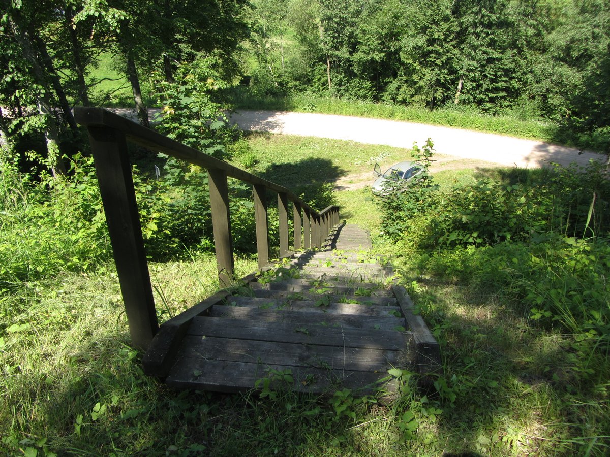
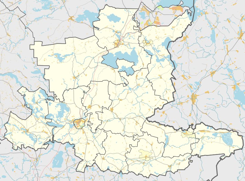
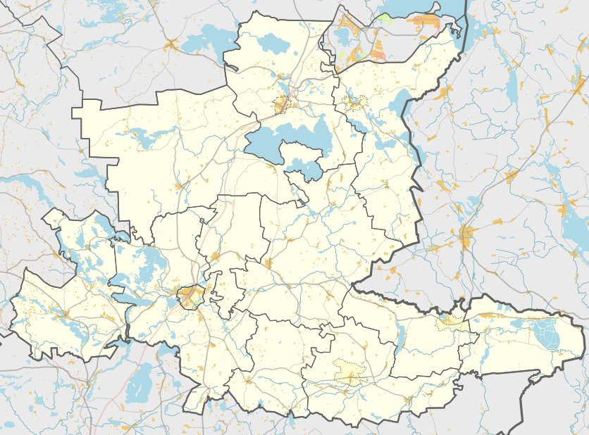
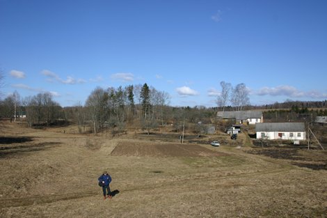
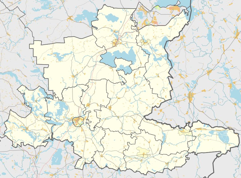
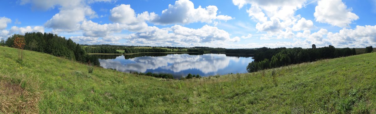
Located in the territory of the Ignalinos district, south of the Kazlupiškės village, lies the Kazlupiškės piliakalnis. This hillfort is situated along the Naujasis Daugėliškis – Grybėnai road, reachable by turning left at a farmstead on a hill slope. The site is a long hill surrounded by fields, featuring an oval clearing measuring 77 by 30 meters with a height of approximately 15 meters.
Archaeological investigations conducted in 1978 and 1985 revealed cultural layers ranging from 0.3 to 0.9 meters thick. These layers contain remains of ceramics with both molded and smooth surfaces, as well as slag. The site is dated to the first millennium, specifically the first half of the first millennium. It was officially declared a cultural monument by a government decree on May 19, 1998, covering an area of 48,000 square meters.
About 1100 meters to the southeast of the hillfort lies Vilkakulalis. This is a mythological sacred hill, approximately 150 meters in diameter and 10–12 meters high, covered in forest. A path known as Vilko kelias leads to it, and a fragment of this path remains preserved.
Sources: Wikipedia, OpenStreetMap, Wikidata, Wikimedia Commons
Written by Nicolo Ciampini
Discuss this with the author and others
No comments yet. Be the first to start the conversation.