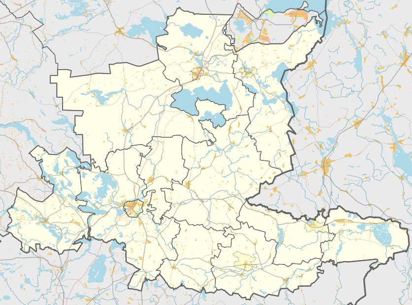

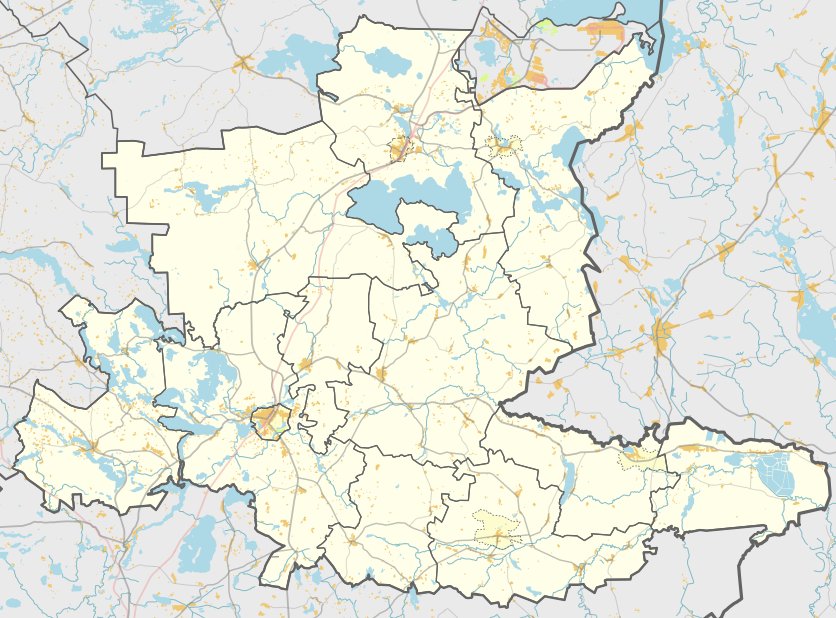
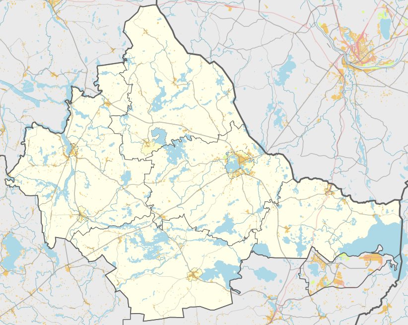
Vaškonių piliakalnis, also known as Saliamonų kalnas, is a hillfort and settlement located in the Ignalina district municipality. It is situated 0.6 km northwest of Vaškonių in the Dūkštas eldership. The site is accessible via a path from Dūkštas to Visaginas, located in a forested area and situated within the Dūkštas forest district.
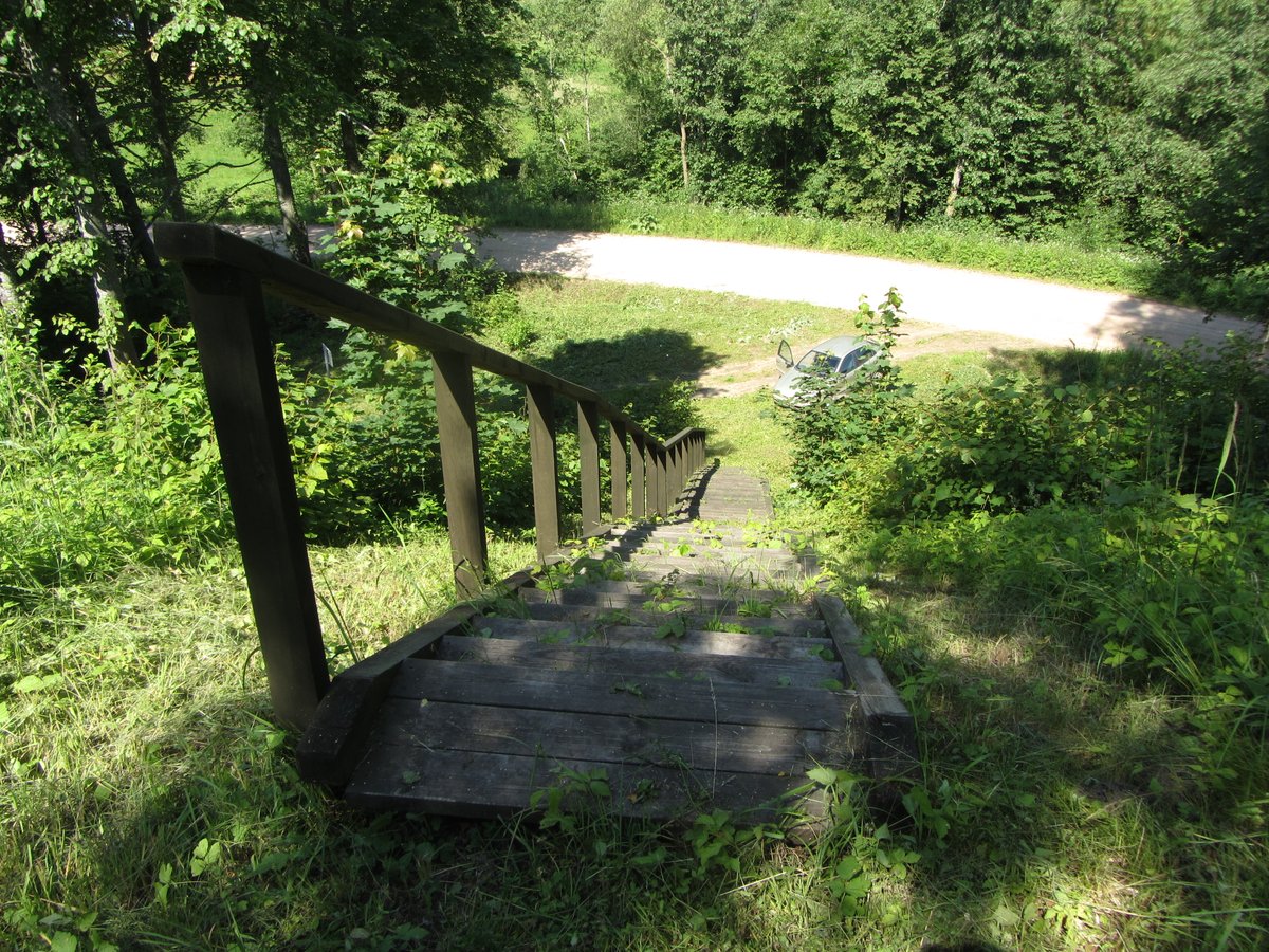
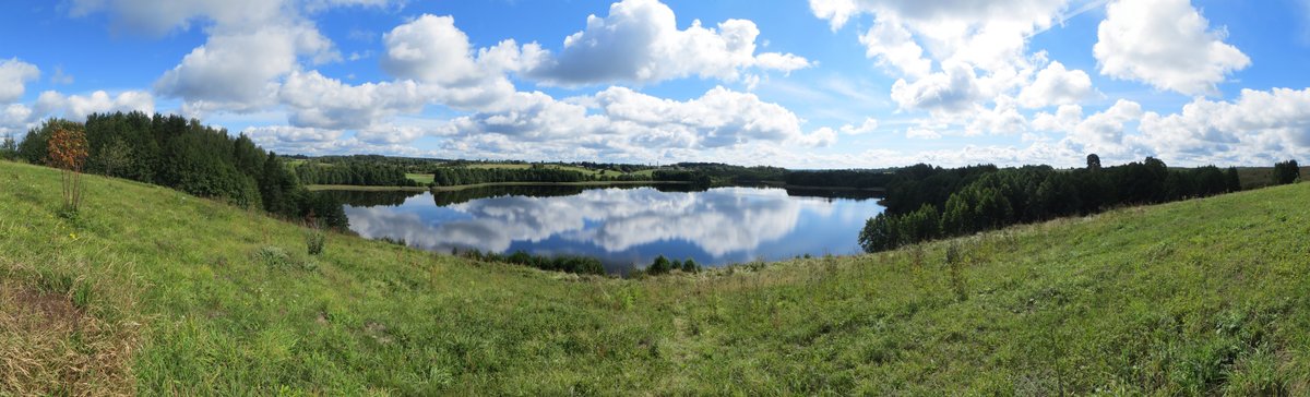
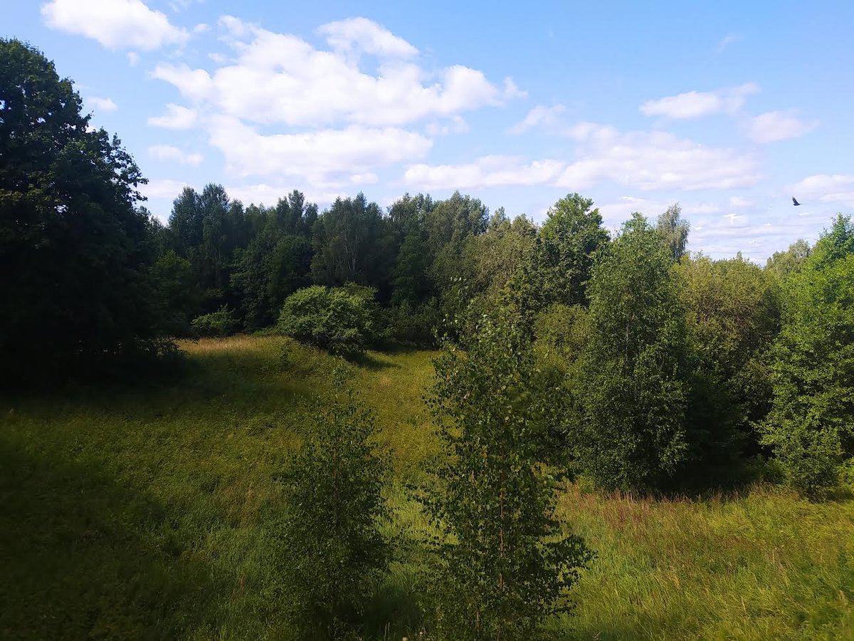
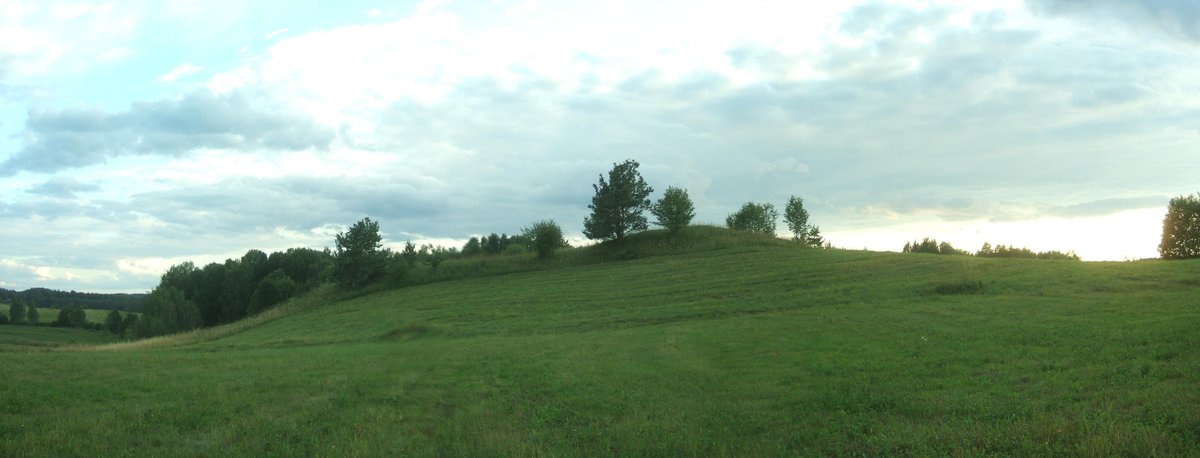
The hillfort is situated on a separate hill within a humid valley. It features an oval clearing measuring 25x10 meters, oriented in a southwest-northeast direction. The center of the clearing is elevated, while the southwest part is 2 meters lower. The site features a natural terrace on the northeast slope, which is 4 meters lower than the clearing, with slopes reaching heights of up to 8 meters. The clearing is marked by pits and is located entirely within the forest.
In 1991, the Institute of History surveyed the hillfort. Archaeological records date the site to the first half of the 1st millennium. The fort is listed as a unique object in the historical record.
Sources: Wikipedia, OpenStreetMap, Wikidata, Wikimedia Commons
Written by Nicolo Ciampini
Discuss this with the author and others
No comments yet. Be the first to start the conversation.