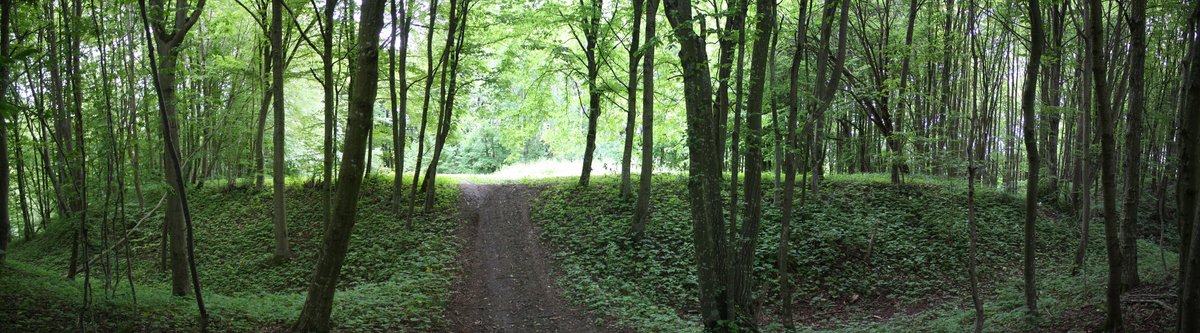

The Maštaičiai hillfort, also known as Maštaičių-Narkūnų hillfort, lies in Šakių District Municipality's territory, near Maštaičiai village in Kiduliai, approximately 4 kilometres west of Gelgaudiškis. The Maštaičiai hillfort archaeological site spans 2500 m². Its base is 30 m wide and 5 m high, 3 m taller than the adjacent hill. The hill sports a pyramid shape. The three residences, an intriguing mystery, consist of a 50 m long, 45 m wide (in the eastern-north orientation) and 25 m wide (in the southern orientation) opening atop the hill.
The opening encompasses an area of 2500 m². A 0.8 m tall platform is located within these openings, with a 2 m wide and 2 m deep ditch beneath it. A 2 m wide and 0.5 m high platform lies 2 m below the ditch. A 26 m wide and 7 m deep trench begins from the platform, descending towards the opening, with a 1 m high and 1 m deep trench trailing from the trench to the hill's summit base. A 3 m wide and 0.5 m high trench leads from the summit's base, and a mound, 3 m wide and 0.5 m high, extends from the summit's base.
A depression, 1 m deep and 30 cm wide, is near the summit. A pit filled with burnt bones was discovered close to the summit, hinting at a 14th-century origin for the Maštaičiai hillfort archaeological site.
Sources: Wikipedia, OpenStreetMap, Wikidata, Wikimedia Commons
Written by Nicolo Ciampini
Discuss this with the author and others
No comments yet. Be the first to start the conversation.