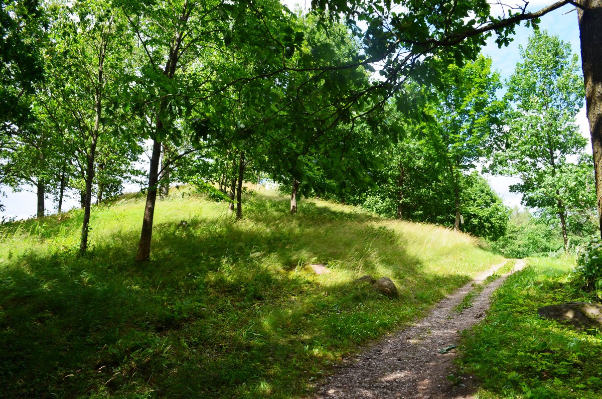

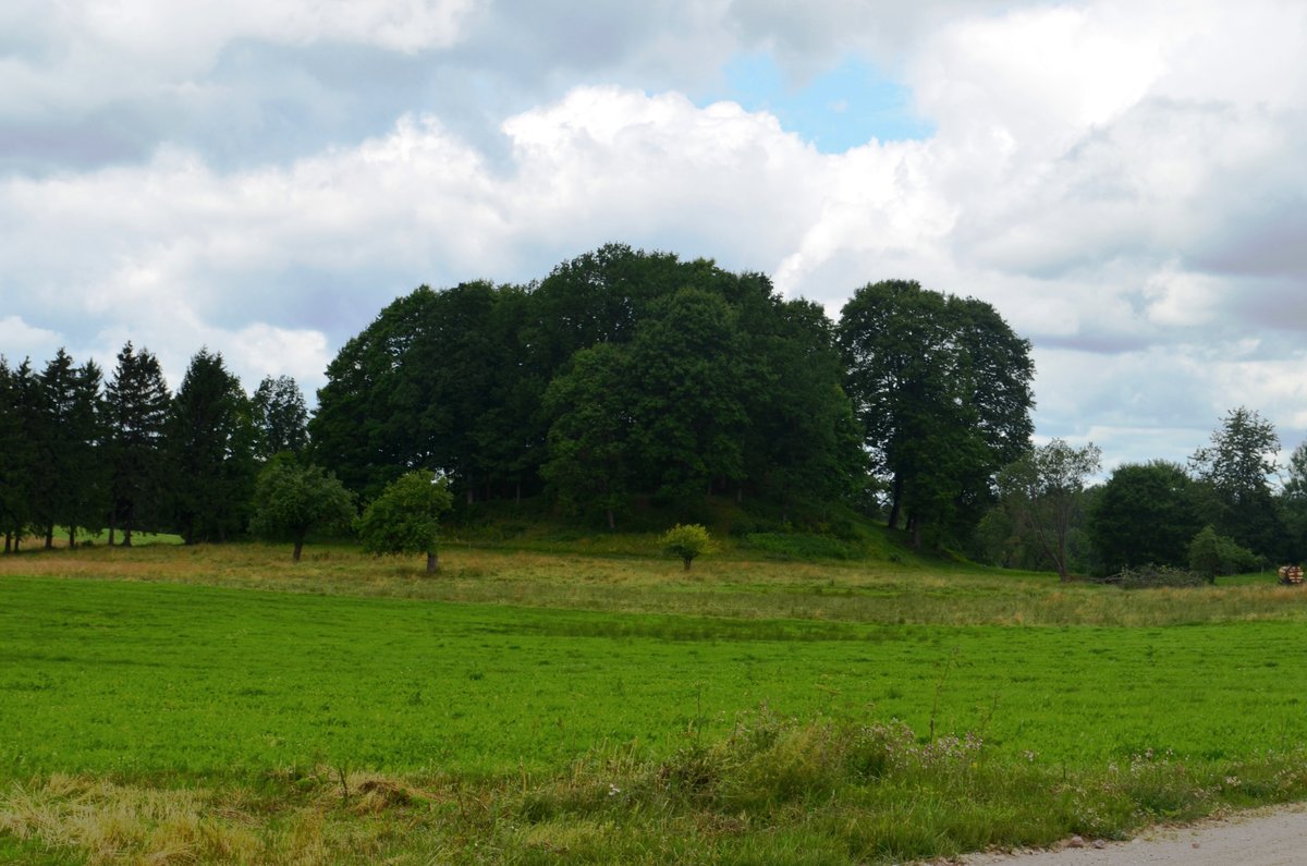
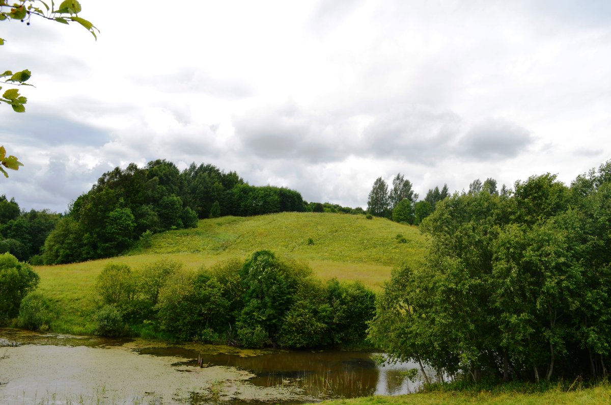
Lopaičių piliakalnis is located in the Rietava district near the village of Lopaičiai, in the Tverai eldership. The site is situated on a hill with an elevation of 211 meters on the right bank of the Aitras river. The fort features a rectangular area measuring 25x13 meters, which is 2 meters higher at the northern end and rises up to 0.7 meters in the middle.
At the northwestern edges of the site, there is an arc-shaped embankment 50 meters long and 1 meter high. This embankment leads into a trench 12 meters wide and 1 meter deep, with slopes reaching up to 27 meters high. Archaeological research on the site was conducted in 1901 by Liudvikas Kšivickis and in 1964 by the Institute of Lithuanian History. The site is dated to between the 1st and early 2nd millennia.
History suggests that in the 13th century, a castle of the Duke Vykintas may have stood on this hillfort. Tradition holds that the future King Mindaugas visited this fortress, which was called Tviriment, where he was reportedly wounded in the thigh by an arrow during a battle. Today, the site is adapted for tourists with installed paths and stairs, and it sits near a spring and a supposed ancient sanctuary.
Sources: Wikipedia, OpenStreetMap, Wikidata, Wikimedia Commons


Written by Nicolo Ciampini
Discuss this with the author and others
No comments yet. Be the first to start the conversation.