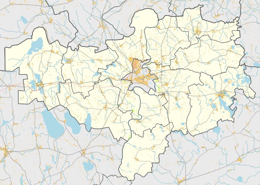

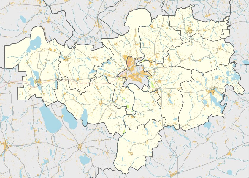
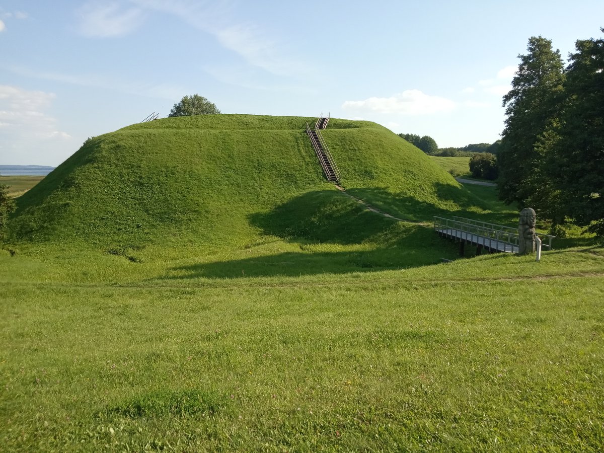
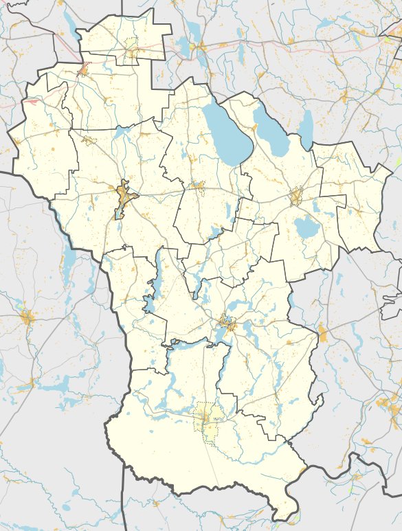
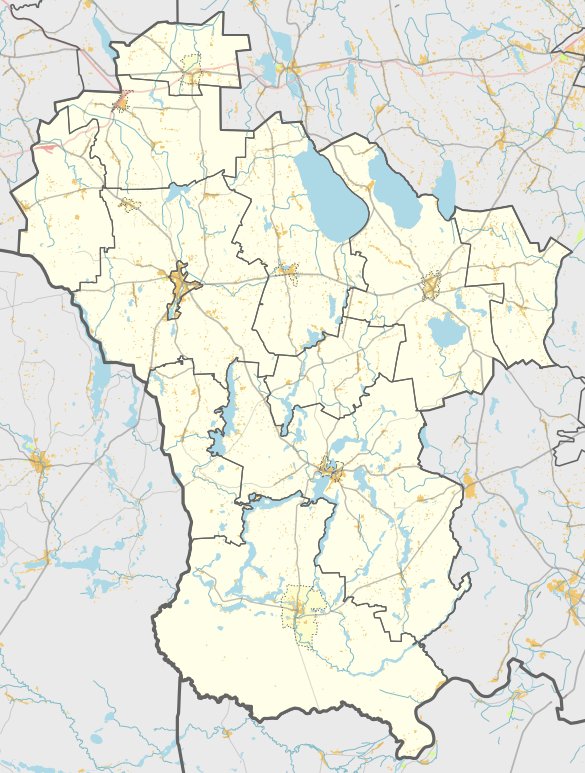
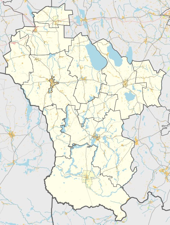
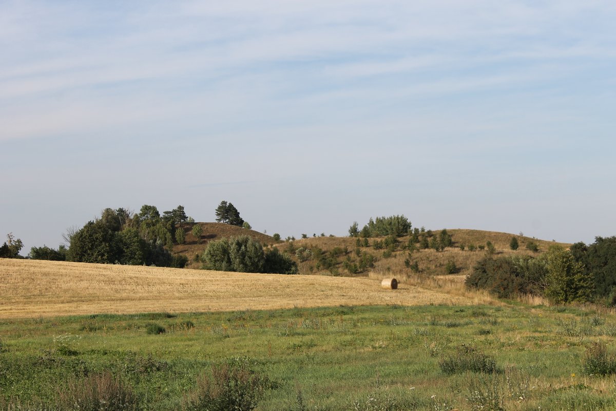
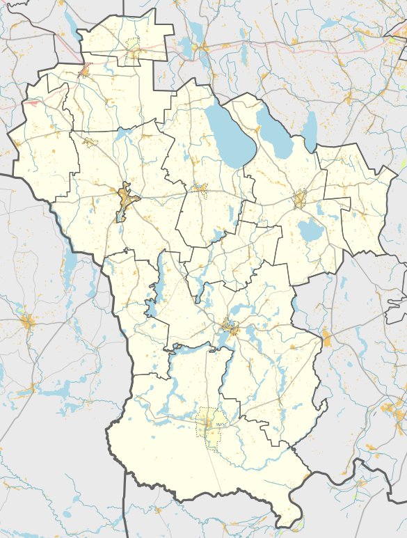
Atesninkų piliakalnis, also known as Atesninkėlių piliakalnis, is a hillfort located in the territory of the Simna eldership. It is reached by turning left from the Simnas-Kalvarija path at the Gilaičiai intersection towards Šarkiškių, then turning right at the field path toward Atesninkai village. It sits about 800 meters from the road, 150 meters to the north of the path, accessible by walking through a field.
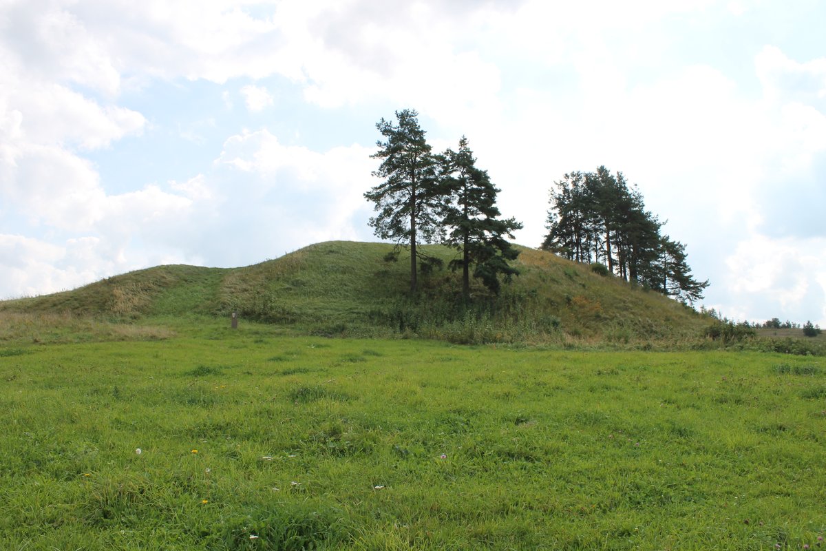
The hillfort is situated at the northern end of the hill. It features an oval-shaped area, elongated in a north-south direction, measuring 25x12 meters. On the northern slope, 1.5 meters below the area, there is a terrace 2 meters wide. The slopes are of medium height, reaching up to 7 meters in the north and 3 meters in the south. The hill is covered with sparse pines.
Archaeological evidence dates the site to the first half of the first millennium. In 1954, the Institute of History surveyed the hillfort, though they did not observe any fortifications or cultural layers during that time.
Sources: Wikipedia, OpenStreetMap, Wikidata, Wikimedia Commons
Written by Nicolo Ciampini
Discuss this with the author and others
No comments yet. Be the first to start the conversation.