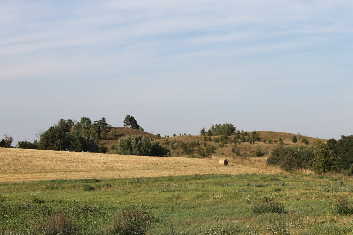
Gumbeliai hillfort, known as Maišymas, is an archaeological site in the Lazdijai district of Lithuania. Situated about 1.1 km from Šeštokai, this hillfort is approximately 350 m long with varying widths between 145 to 180 m and heights reaching up to 20 m, with its highest point in the west. The hillfort separates Gumbeliai and Maišymas villages, often named Maišymas in archaeological records.
It was recognized as a cultural heritage site in 1935, 1972, and 1992. The territory covers an area of 4.99 hectares.
The Institute of History, led by Pranas Kulikauskas and Adolfas Tautavičius, examined the hillfort in 1954 and 1965, while Eugenijus Ivanauskas conducted research in 1989. In 2001, Ivanauskas discovered a 14-14 m² area without cultural remains within the hillfort.
Sources: Wikipedia, OpenStreetMap, Wikidata, Wikimedia Commons
Written by Nicolo Ciampini
Discuss this with the author and others
No comments yet. Be the first to start the conversation.