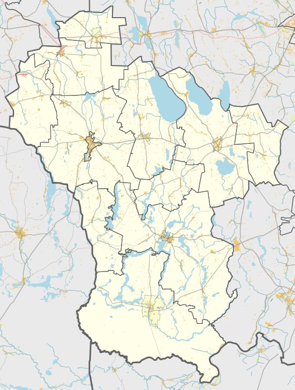

Verštaminų III hill, found in Lazdijų rajono savivaldybės teritorijoje, Teizų seniūnija, conceals an elusive settlement. The quadrangular archaeological site, characterised by a central pit and extending approximately 26x8 meters, lies within the boundaries of Verštaminų III. The walls of the site, soaring 12-15 meters high, defy time's erosion. However, the specific location of the settlement remains undisclosed in the source material. It is suggested that it resides within the site, as per map data.
The western and southern parts of the farmland adjacent to the site have yielded broken, similar, and hashed ceramics. Verštaminų III was uncovered by the Institute of History in 1965, and it is under the protection of the State Cultural Heritage Board. The landmark status was bestowed by the Lithuanian Republic’s Government on 1998-05-19; Nr.612. The site encompasses 41,400 m², with a physical protection zone of 12,000 m². Details from Verštaminų III can be found in the Lithuanian Cultural Heritage List.
Sources: Wikipedia, OpenStreetMap, Wikidata, Wikimedia Commons
Written by Nicolo Ciampini
Discuss this with the author and others
No comments yet. Be the first to start the conversation.