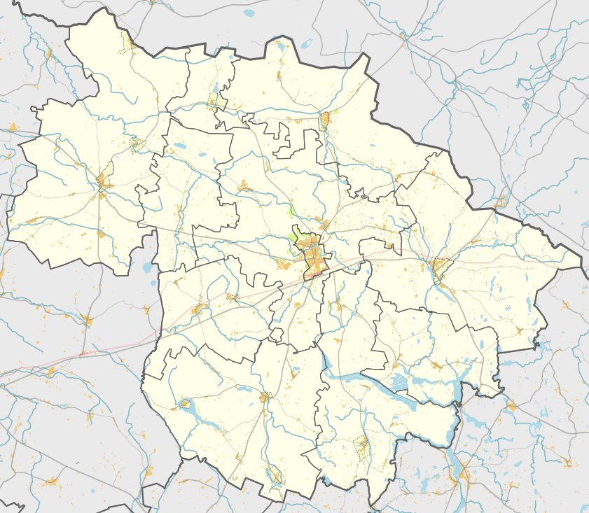

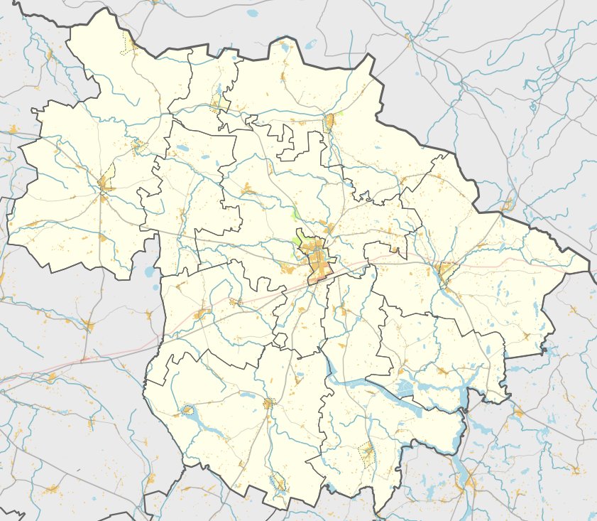
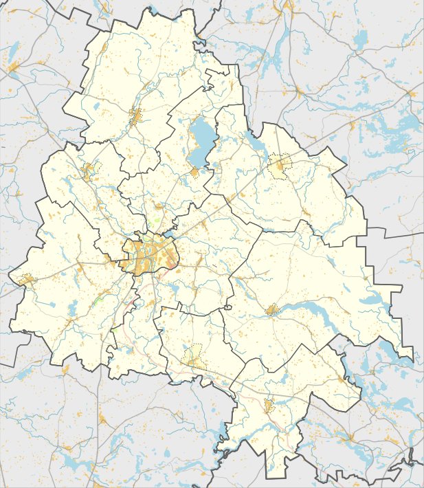
Radžionių piliakalnis is a hillfort and settlement located in the Rokiškio rajono savivaldybės territory, west of Radžionių kaimo in the Kamajų seniūnija. It is reached by turning from the road to Jūžintai towards Duokiškio, passing through Tytelius, crossing the Šetekšna river, and turning left towards Radžionių kaimo. From the village cemetery, it is a 450 m walk across the fields towards the northwest.
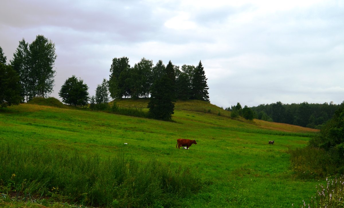
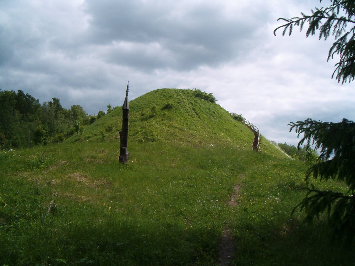
The hillfort is situated on a separate hill on the edge of a swampy valley. The oval-shaped courtyard measures 10x8 m and is raised in the middle, facing northwest. The slopes have an average height of 4-5 m. The structure is reinforced with arim, and a pit, now overgrown with weeds, has been excavated in the courtyard.
On the southern slope, an ancient settlement occupies an area of 0.2 ha. The site dates back to the end of the 1st millennium BC. The hillfort was surveyed by the Institute of History in 1970.
Sources: Wikipedia, OpenStreetMap, Wikidata, Wikimedia Commons

Written by Nicolo Ciampini
Discuss this with the author and others
No comments yet. Be the first to start the conversation.