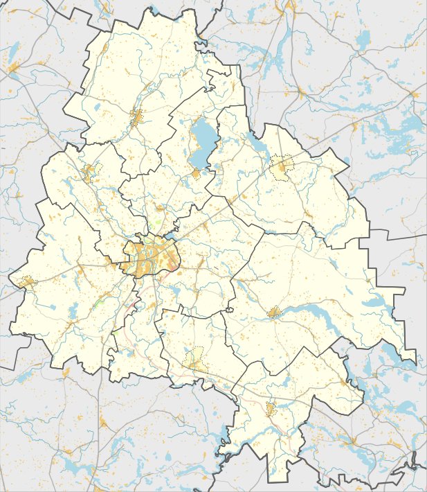

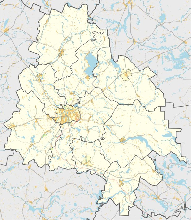
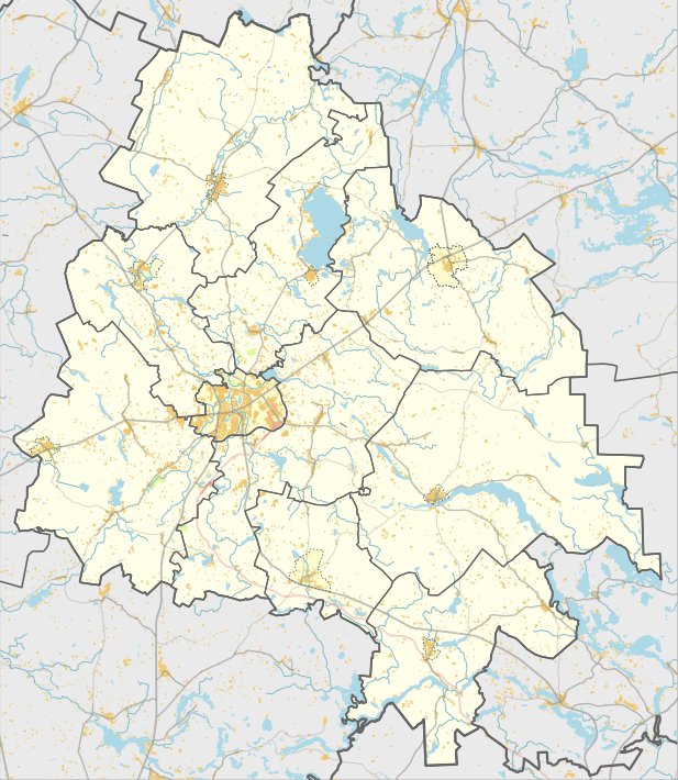
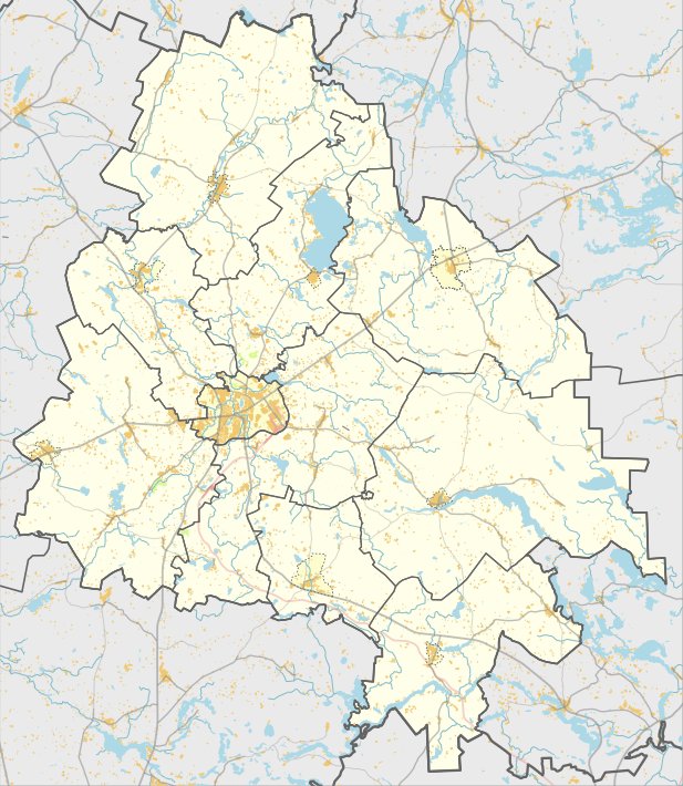
In the village of Likančiai, within the Utenos rajონის municipality, lies the Likančių piliakalnis archaeological site and settlement. This cultural monument was registered under number A692P on April 19, 2005. To reach the site, travelers can take the road from Užpaliai to Dusetos, turn right toward Vaiskūnų, turn left toward the northwest after 1 km, and drive 450 m along a path. From the farmstead, the site is reachable by turning left toward the lake.
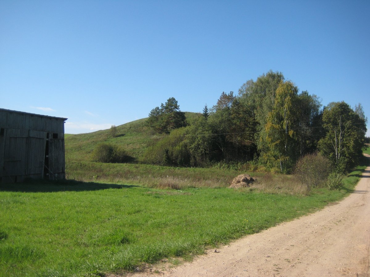
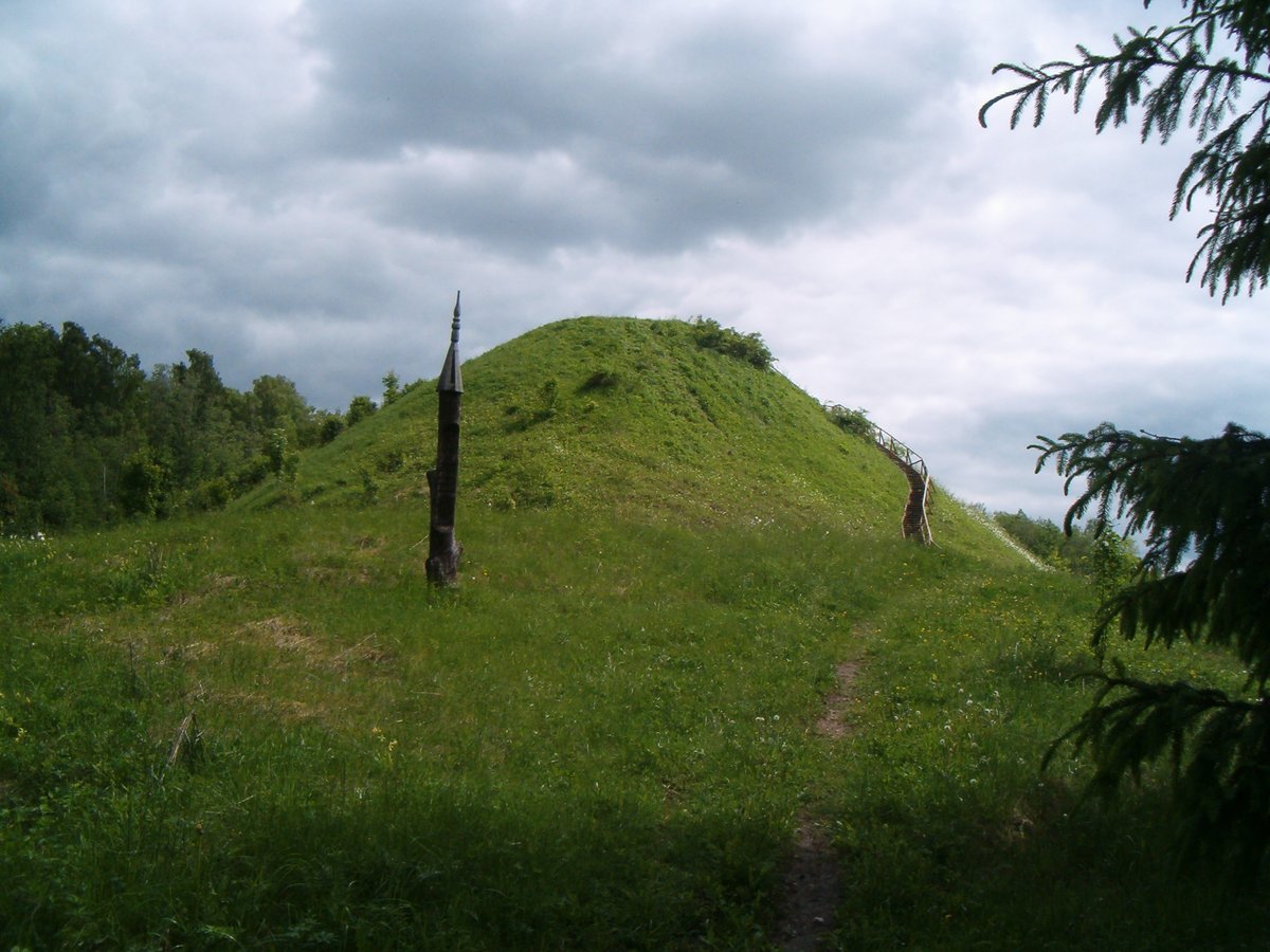
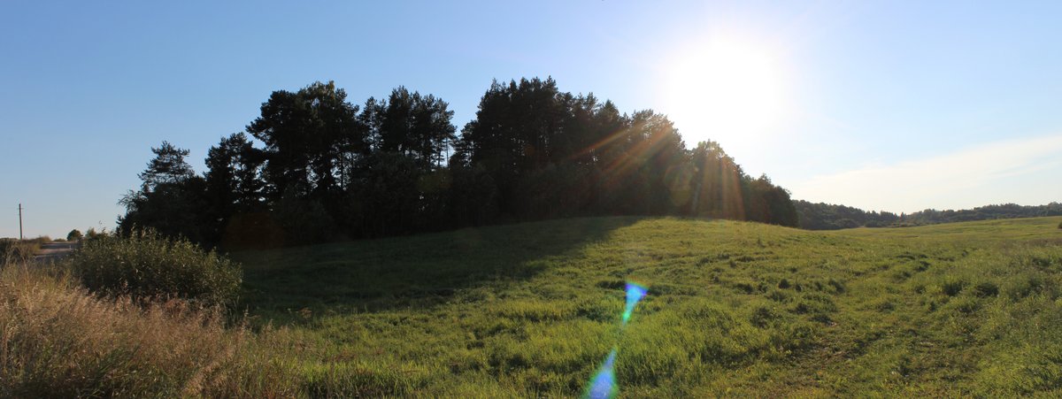
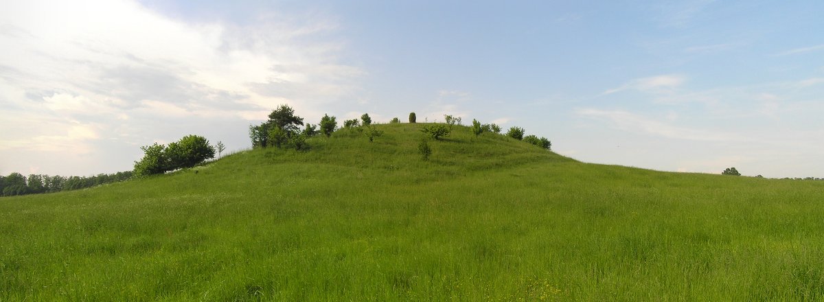
The hillfort is situated on a hill on the eastern bank of Lake Pilašys. It features an oval-shaped enclosure, elongated in an east-west direction, measuring 27x17 meters. The slopes range from 5.5 to 15 meters in height, with the eastern side being gentler. The hillfort is surrounded by pits and covered with lapwood, while the southern slope is covered with sod.
In the southeast foot of the hill, a settlement covers an area of 0.5 hectares. The site was surveyed by the Institute of History in 1958 and 1970, and it is dated to the first millennium. It was declared a cultural monument by a resolution of the Republic of Lithuania on May 19, 1998 (Nr. 612). The monument's territory covers 1.1 hectares, with a visual protection zone covering 865,000 square meters.
Sources: Wikipedia, OpenStreetMap, Wikidata, Wikimedia Commons
Written by Nicolo Ciampini
Discuss this with the author and others
No comments yet. Be the first to start the conversation.