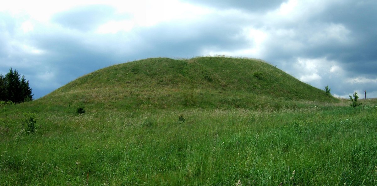

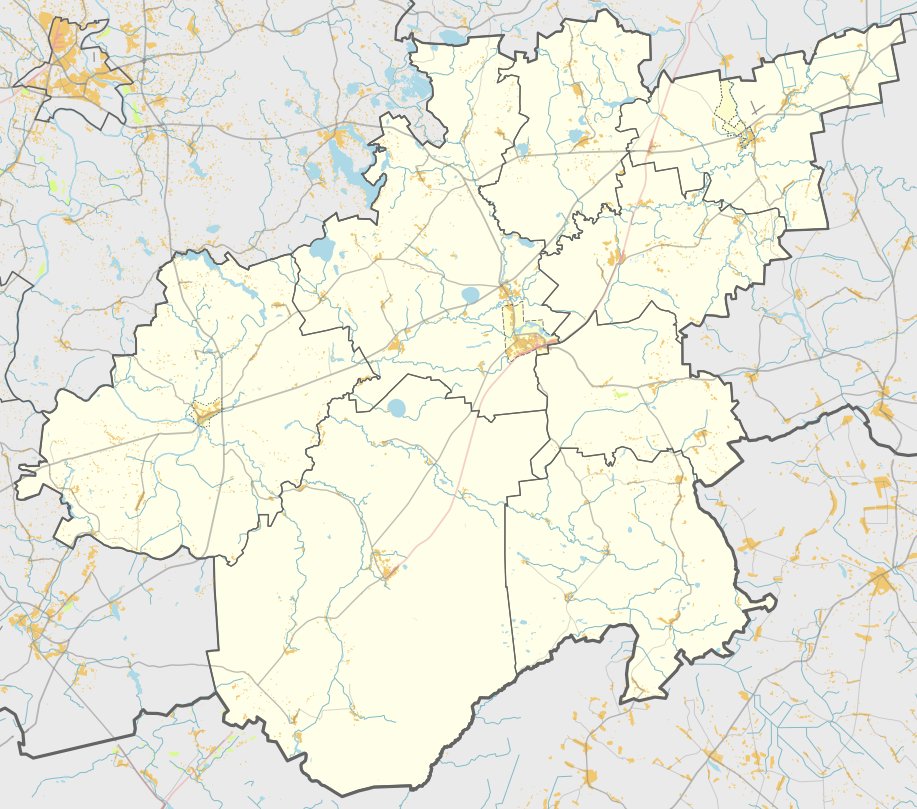
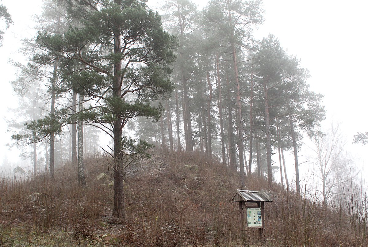
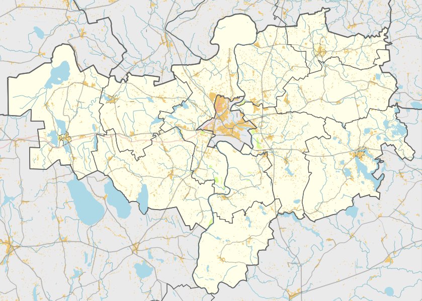
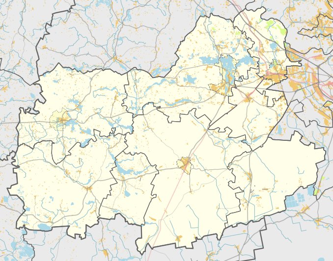
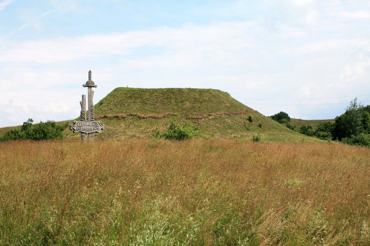
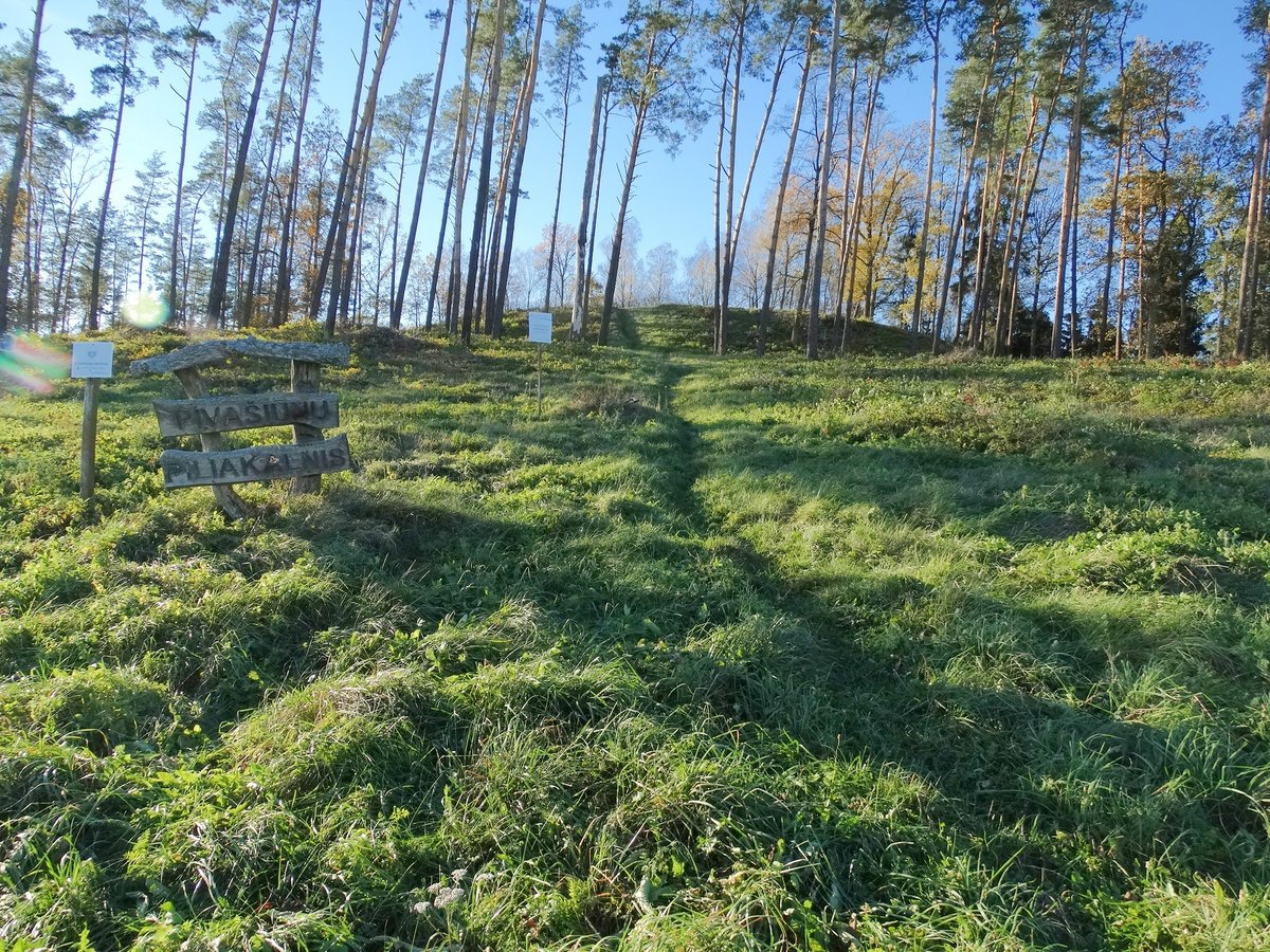
The Žuklijų I hillfort and settlement is located in the Trakai district, south of Žukliai. It can be reached from the Rūdiškės - Onuškis road by turning right toward Saloviškiai, then left toward Žukliai, and turning left again 3 km later toward the south. The hillfort is situated on a separate hill on the northern bank of Lake Vilkokšnis.
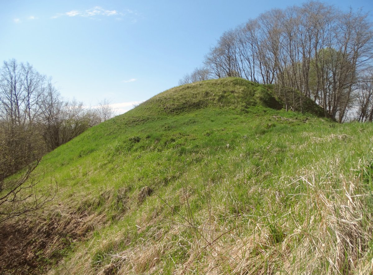
The fort occupies an oval area 20x12 meters in size, oriented north to south. It is surrounded by a ditch that is 1.5 meters high in the south and 3 meters high in the north, with a width of 9-15 meters. A trench 26 meters wide and 2 meters deep was excavated in the northern slope. Slopes are built to heights of 5-8 meters. The archaeological site was officially declared a cultural monument on May 19, 1998, and covers an area of 29,000 square meters.
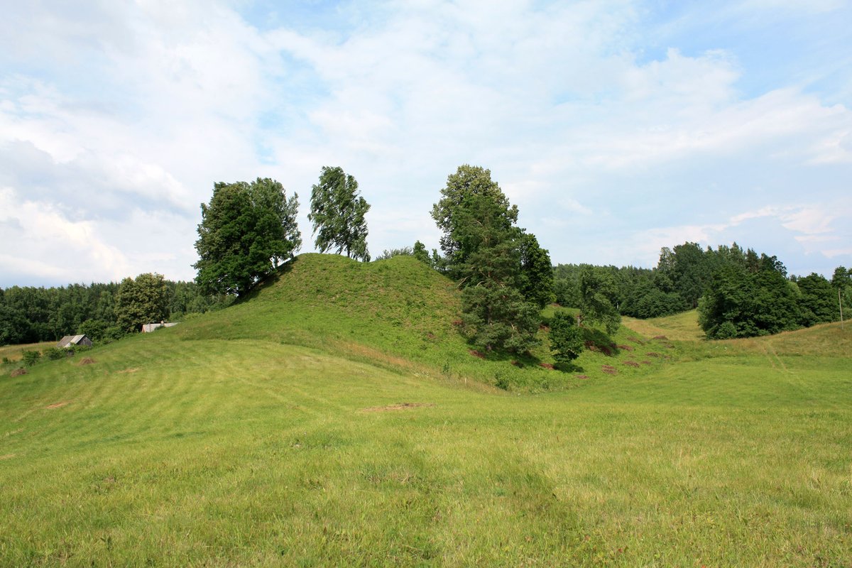
A settlement is located on a 0.5 hectare plot on the northern slope of the hillfort. The archaeological finds are preserved by the National Museum of Lithuania. The site is situated near Žuklijų II hillfort, which is located 100 meters to the west.
Sources: Wikipedia, OpenStreetMap, Wikidata, Wikimedia Commons
Written by Nicolo Ciampini
Discuss this with the author and others
No comments yet. Be the first to start the conversation.