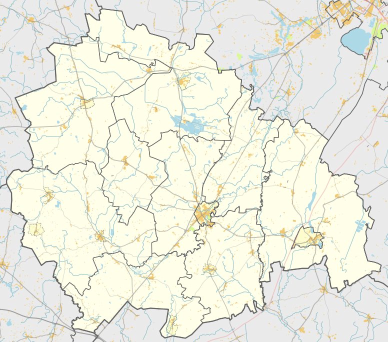

Situated amidst the confluence of the rivers Dubysos, Gryžuvos, and Molkasio upelis, Kubilių piliakalnis is a natural border between Papušynio and Kubilių villages in Tytuvėnai parish. Approached via the road from Kelmė to Tytuvēnai, turning left near Mosteikius, 1.3 km down the road and turning right towards Gryžuvos, 1 km until the fortress – it is to the left, 200 meters to the west. According to ancient legends and records, Kubilių piliakalnis is an archaeological site dated to the 1st millennium BC–13th century AD.
Sources: Wikipedia, OpenStreetMap, Wikidata, Wikimedia Commons
Written by Nicolo Ciampini
Discuss this with the author and others
No comments yet. Be the first to start the conversation.