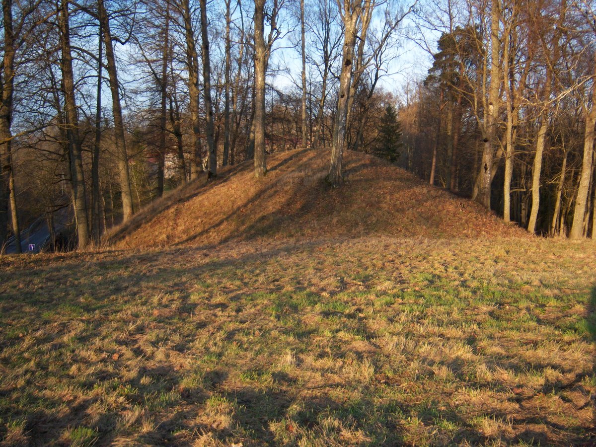

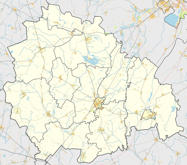
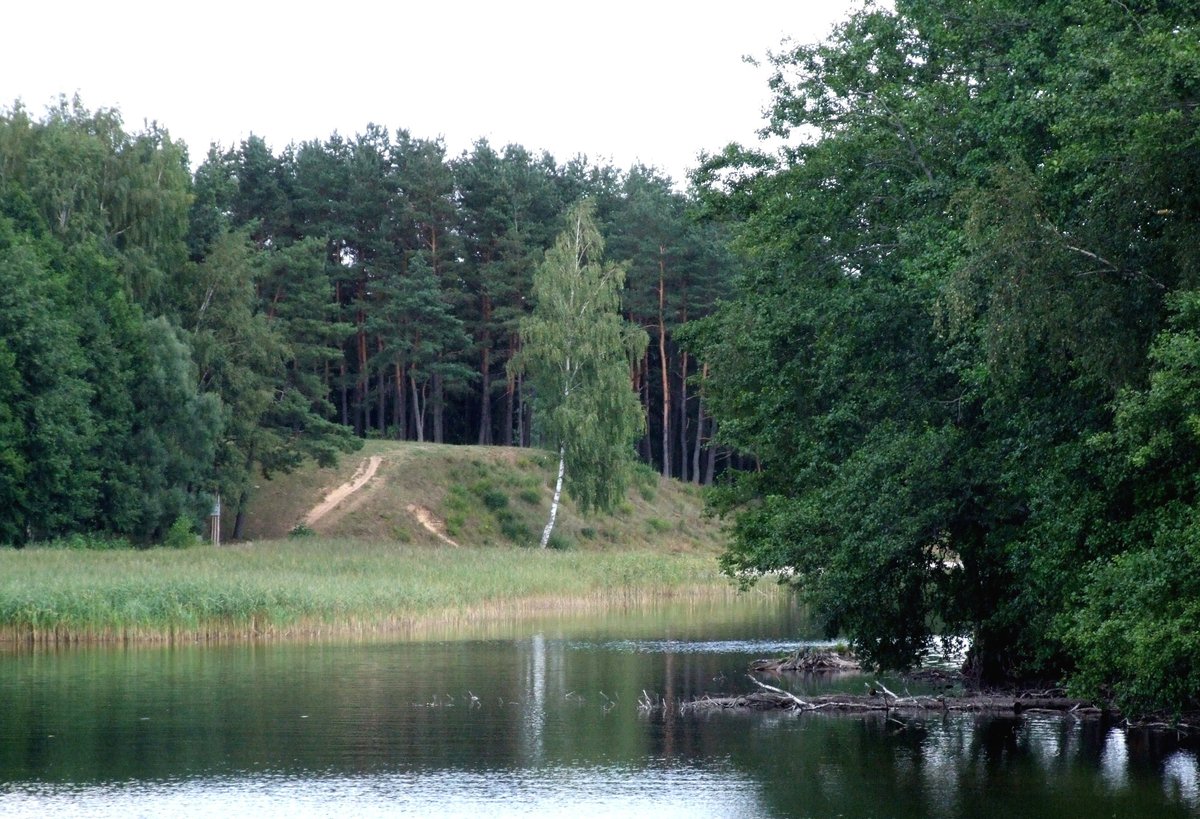
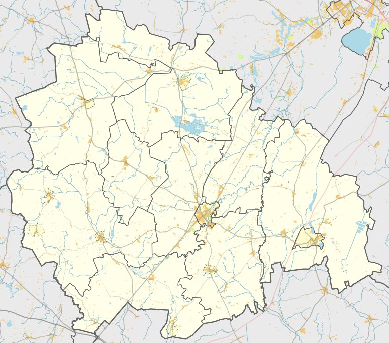
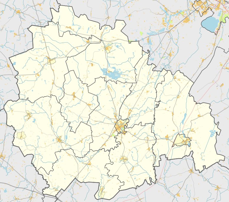
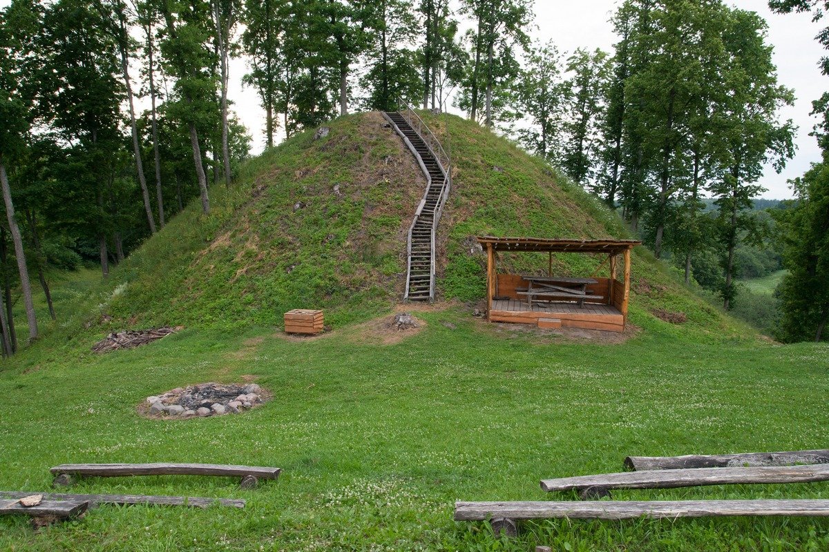
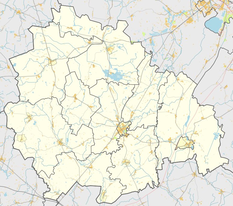
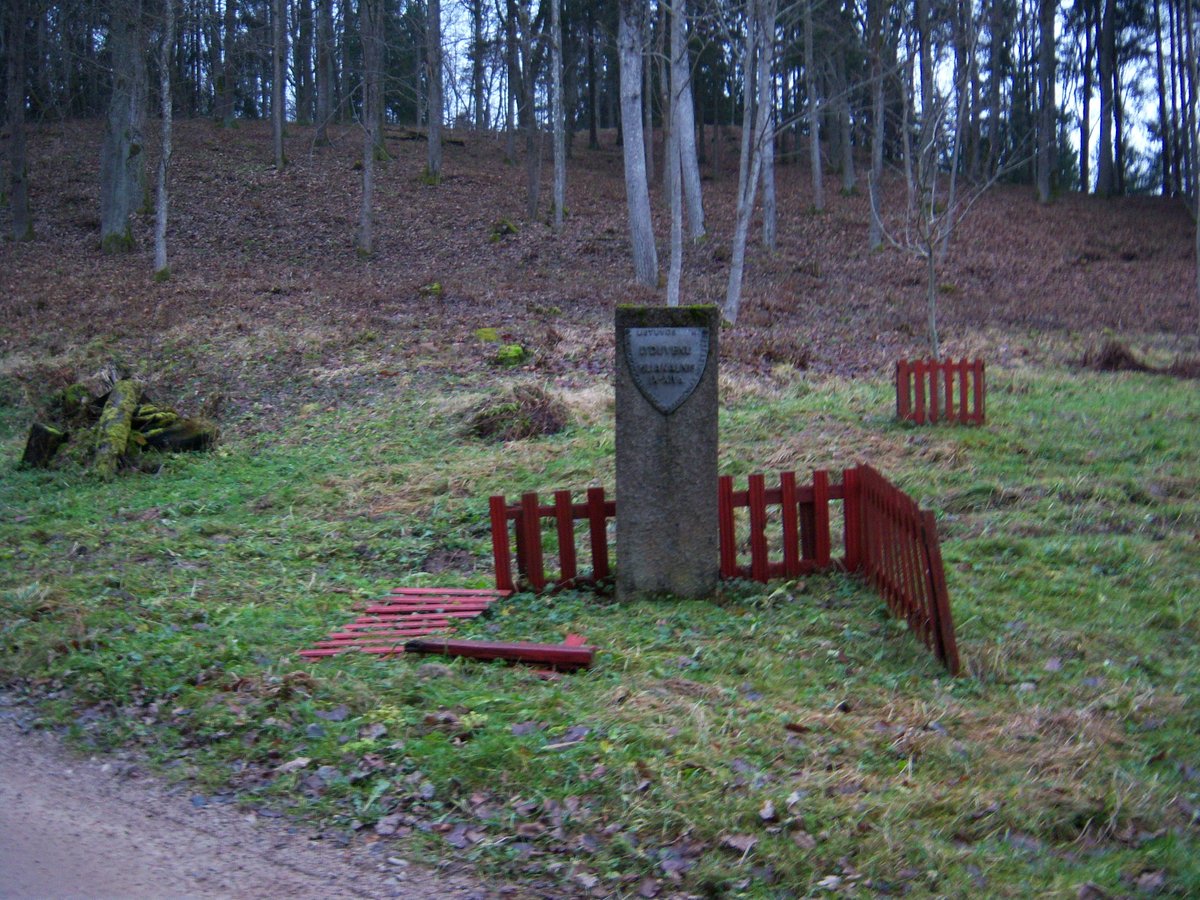
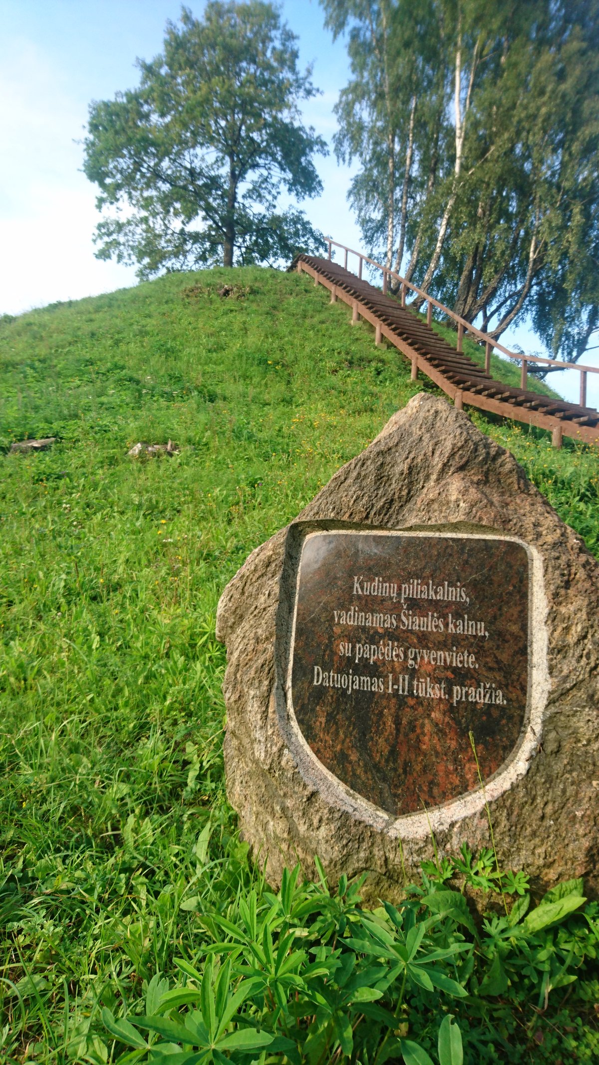
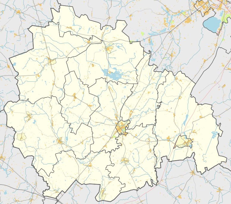
Pagryžuvio piliakalnis, also known as Kalvinų kalnas or Pilies kalnas, is a hillfort located in the Kelmė district, near the village of Pagryžuvys. The site is positioned on a promontory on the left bank of the Gryžuva River. The fortification features a plateau with an irregular oval shape, measuring 11 metres wide and 18 metres long, oriented north-south.
The hillfort is defended by ramparts that reach heights of 12-13 metres. On the southwest side, a rampart of 3.5 metres in height and 27 metres in width remains well-preserved. The outer slope descends into a ditch that is 7 metres wide and 0.5 metres deep. To the northeast, a rampart of 0.8 metres in height and 6 metres in width is visible, though it has been washed away on its outer side. The northern part of the plateau and the northern slope have been eroded by the Gryžuva River.
At the foot of the southwest slope lies a settlement covering an area of one hectare. The site is currently surrounded by birch trees and the plateau is covered with grass. Archaeological research on the hillfort was conducted in 1967 by the Institute of Lithuanian History. The site dates back to the first millennium - the beginning of the second millennium.
Sources: Wikipedia, OpenStreetMap, Wikidata, Wikimedia Commons
Written by Nicolo Ciampini
Discuss this with the author and others
No comments yet. Be the first to start the conversation.