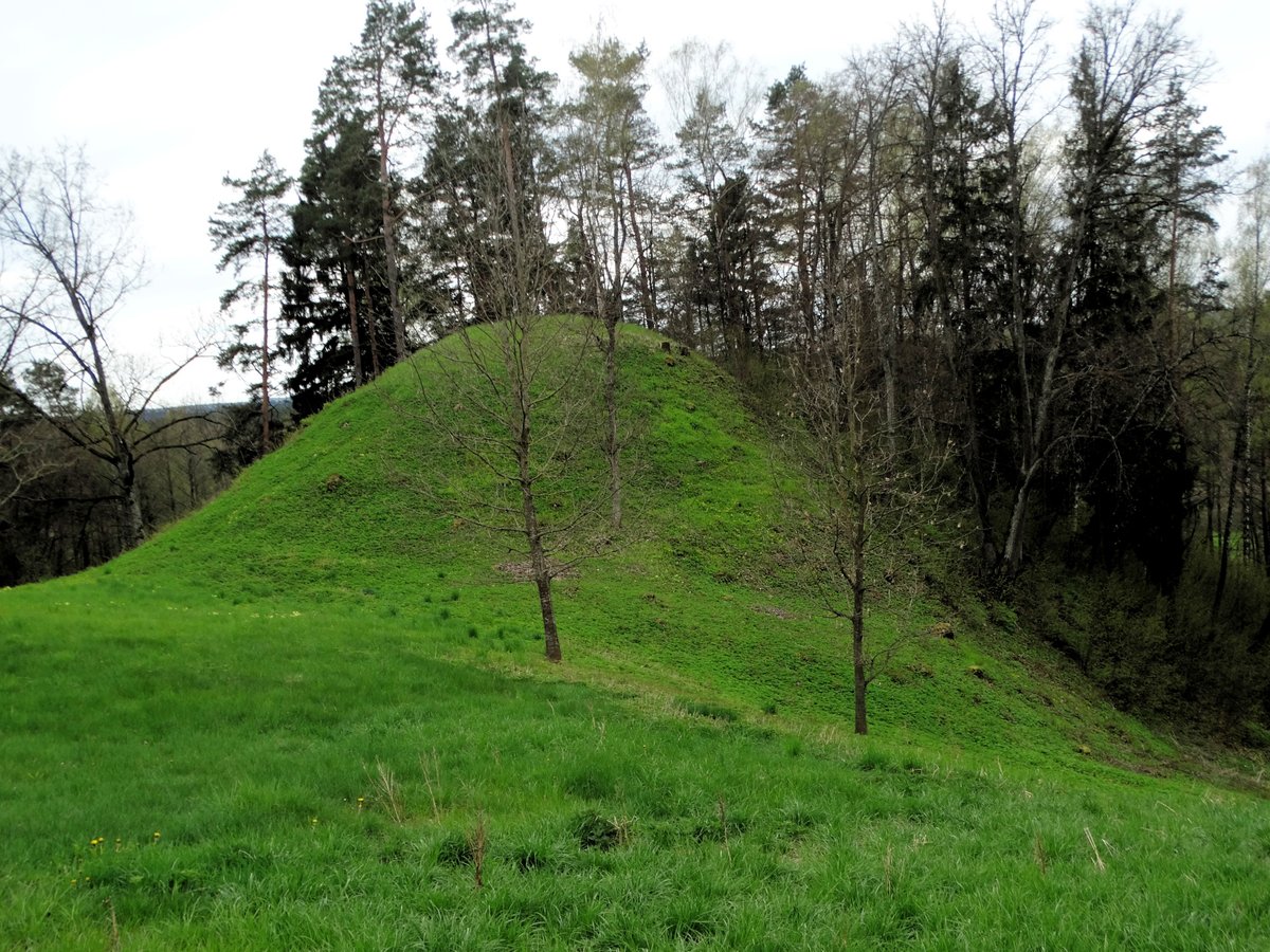

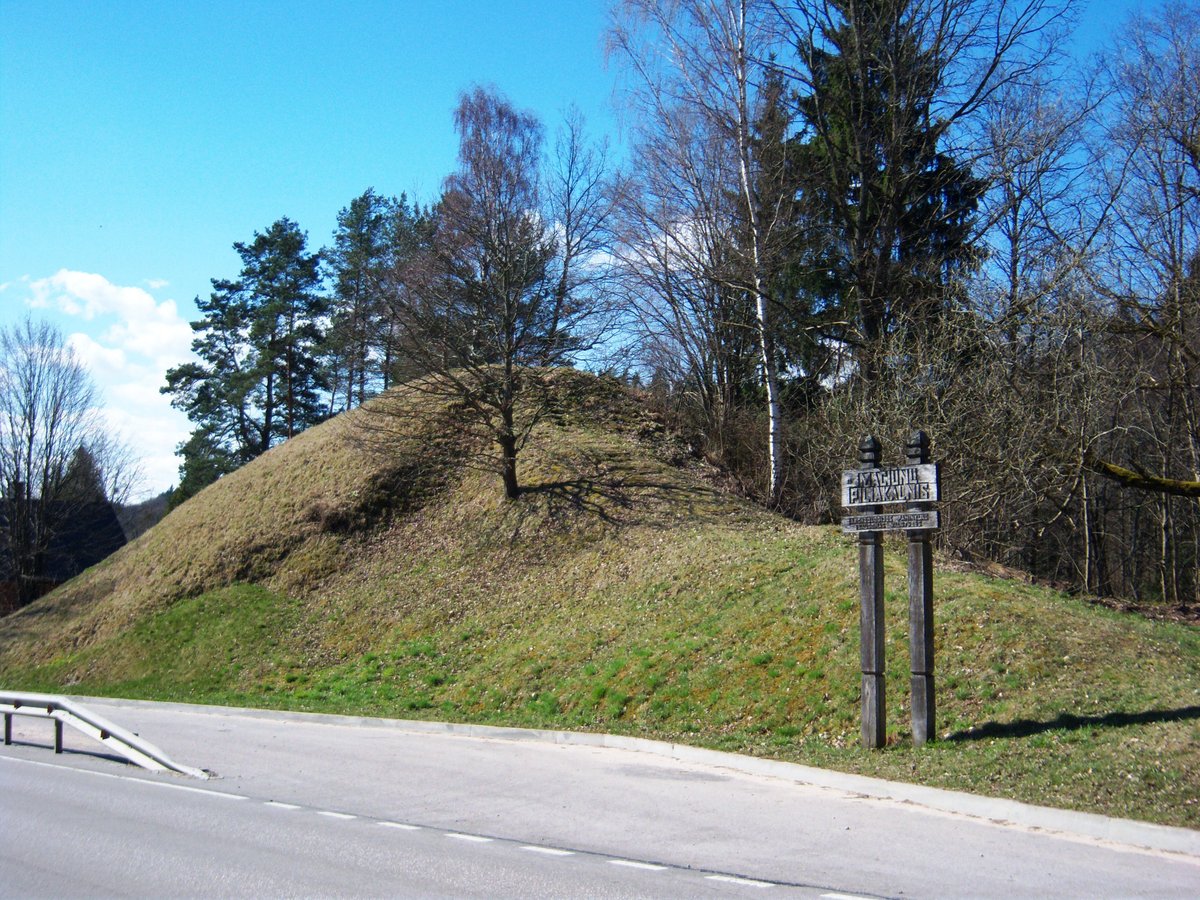
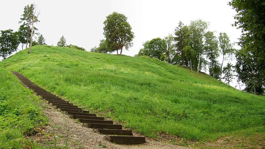
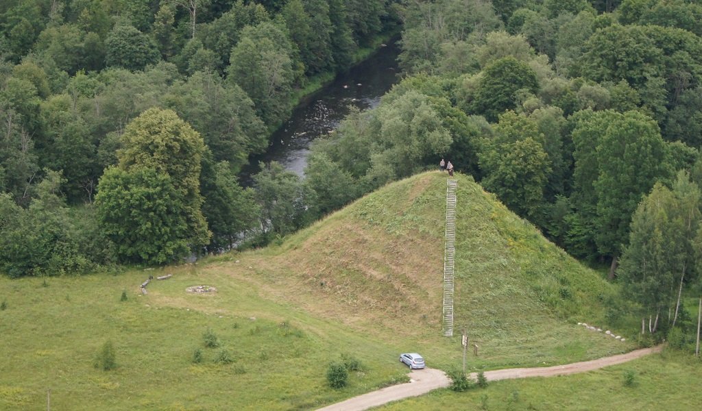
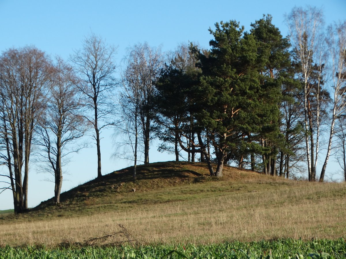
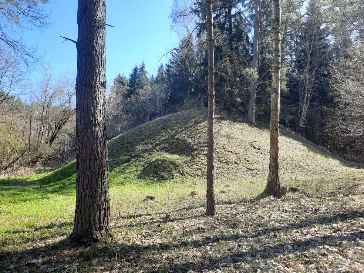
Žarijų I piliakalnis, also known as Bagrėnas, is a hillfort located on the upper terrace of the Nemunas left bank. The site features a rectangular clearing measuring 40 by 26 meters, with the southwestern part of the terrain being 5 meters lower. On the northeastern edge, there is a rampart with a 7 by 9 meter summit. This structure features an outer slope of 10 meters in height that descends into a ditch 24 meters long, 32 meters wide, and 4 meters deep.
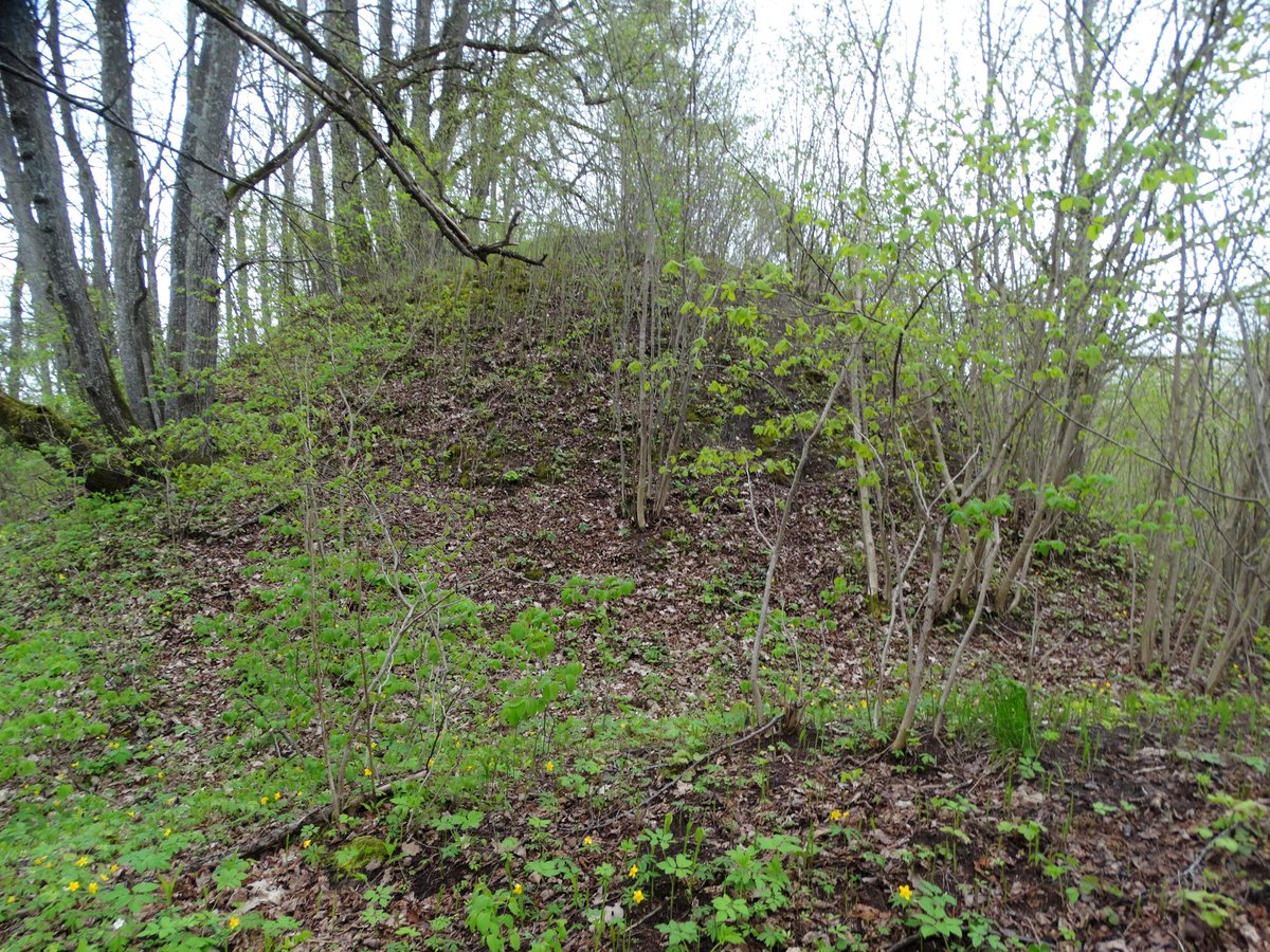
The ramparts are 18 meters high and have been reinforced with ditches and covered with shrubs. The site was officially declared a cultural monument on May 19, 1998, and covers an area of 10,000 square meters. It is situated near the edge of a forest, 120 meters from a farmstead.
Archaeological research conducted by the Institute of History in 1953 and 1971 revealed a settlement on the northern bank. Excavations uncovered pottery with both smooth and rough surfaces, as well as clay ceramics. These findings are preserved in a museum. The site can be reached by traveling toward Pociūnai and turning south toward the farmstead.
Sources: Wikipedia, OpenStreetMap, Wikidata, Wikimedia Commons
Written by Nicolo Ciampini
Discuss this with the author and others
No comments yet. Be the first to start the conversation.