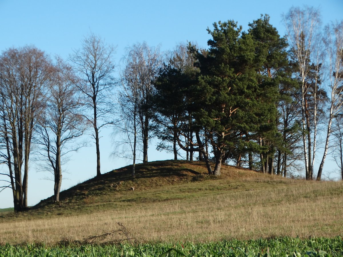

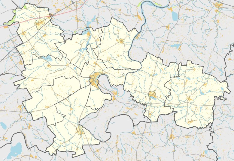
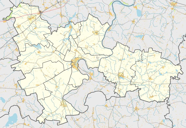
Located in the Išlaužo seniūnija area of Prienų rajono savivaldybės teritorijoje, the Pačiudiškių piliakalnis is a hillfort and settlement situated near the village of Pačiudiškiai. The site is reached via road 3312 Mačiūnai–Šaltiniškiai, following the canalized Eglynė river for 300 meters through the meadows.
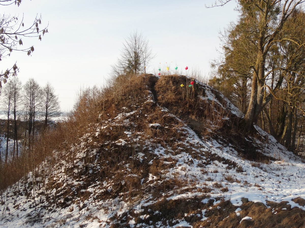
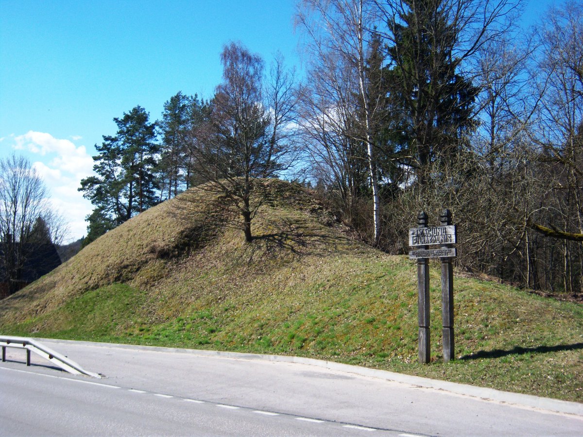
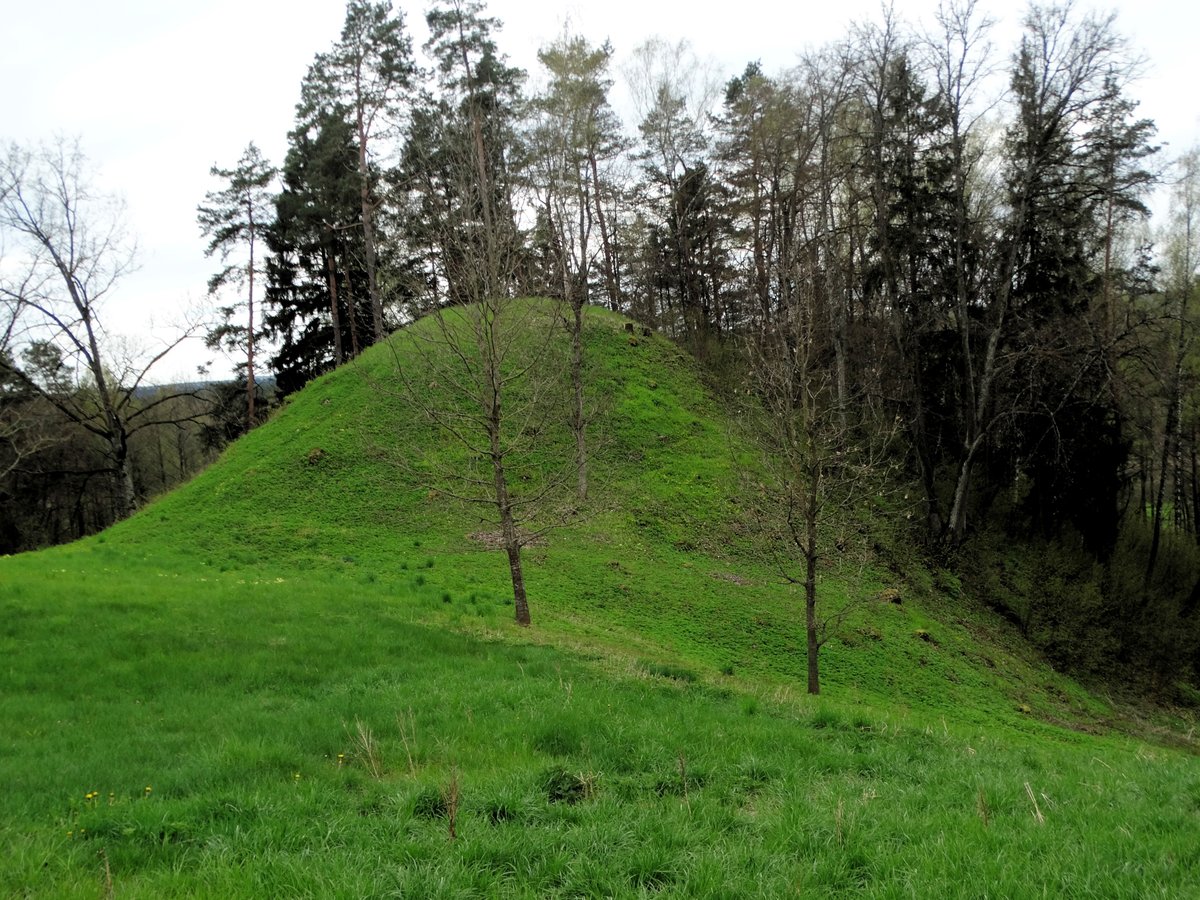
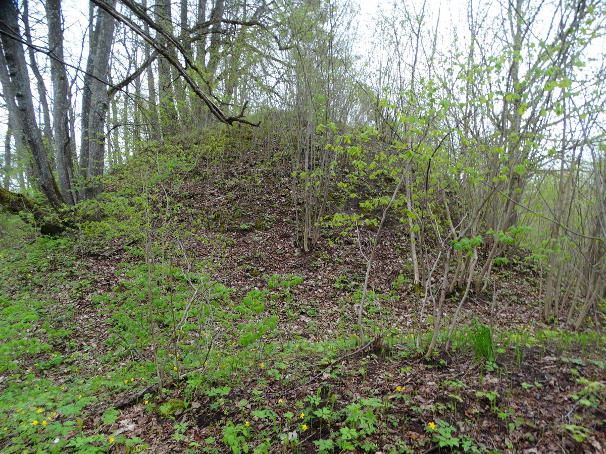
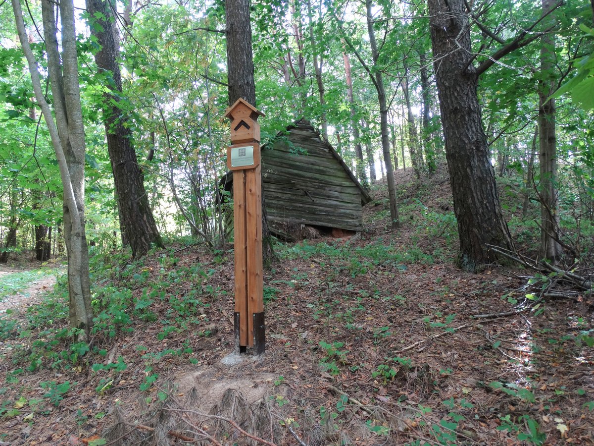
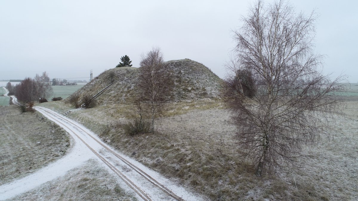
The hillfort is situated on a separate hill on the left bank of the Morkūnupio valley. It features an oval-shaped clearing, elongated in an east-west direction, measuring 22x13 meters. The surrounding slopes range from three to nine meters in height. The site is surrounded by mixed forest and features various ditches and pits, with the eastern slope being excavated by a quarry.
Archaeological research conducted in 1971 by the Institute of History identified a settlement on the southern slope, covering an area of 0.3 hectares. The hillfort dates back to the first half of the 1st millennium. The monument was officially recognized as a state-protected site on April 29, 2005, and covers a total area of 5,800 square meters.
Sources: Wikipedia, OpenStreetMap, Wikidata, Wikimedia Commons
Written by Nicolo Ciampini
Discuss this with the author and others
No comments yet. Be the first to start the conversation.