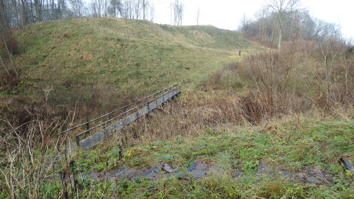

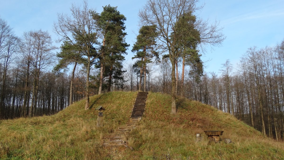
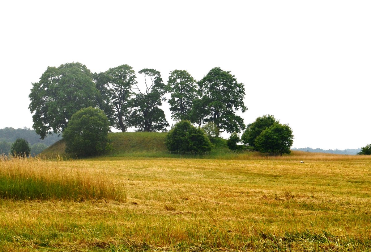
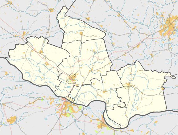
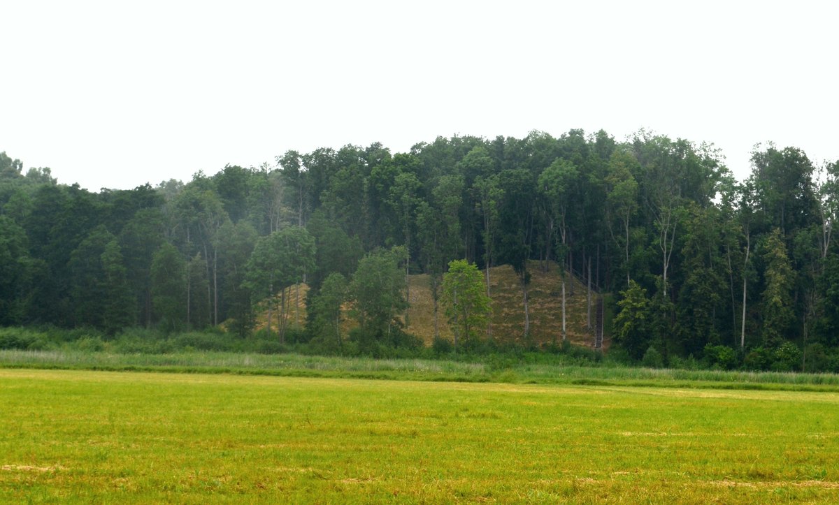
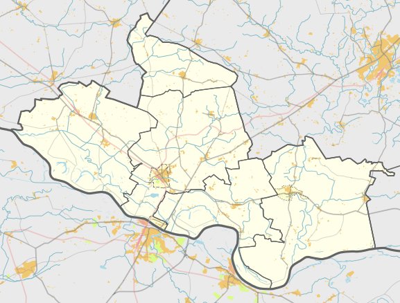
The Opstainių I hillfort is located in the Vilkyškiai eldership, north of Raudondvaris in the Pagėgiai municipality. The site is situated on a high point on the left bank of a stream. The enclosure is shaped like a trapezoid, measuring 84 metres long and 40 metres wide at the northern edge, narrowing to 18 metres wide in the south. The southern edge of the site is 7 metres long and sits at a level with the ground.
Defensive structures are prominent on the northern side, where builders constructed a 40-metre long embankment, 4 metres high, and 39 metres wide. Behind this sits a 9-metre wide ditch that is 1 metre deep. Further back, a second embankment, 6.5 metres wide and 0.3 metres high, protects another 9-metre wide ditch that is 2 metres deep. On the eastern side, there is a 9-metre wide embankment reaching 0.8 metres in height. The site's slopes reach heights of 17-20 metres, and a trace of an old road remains on the southeastern slope.
To the east, southeast, and north of the hillfort lies a settlement covering two hectares. Archaeological excavations in this area have uncovered various types of smooth and coarse ceramics. To the west of the settlement, a stone for grinding grain was discovered. While the western side of the hillfort has collapsed and is now overgrown with bushes and trees, the site remains a protected cultural monument.
Sources: Wikipedia, OpenStreetMap, Wikidata, Wikimedia Commons



Written by Nicolo Ciampini
Discuss this with the author and others
No comments yet. Be the first to start the conversation.