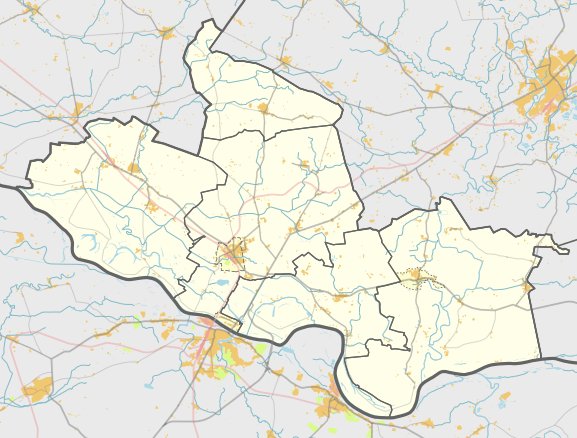

Located in the Pagėgiai Seniūnija, the hillfort is situated 2 km southwest of Pagėgiai and southwest of Birštoniškių. It sits on the edge of the Nemunas upper terrace, accessible via a forest path from the intersection of the A12 Ryga - Šiauliai - Tauragė - Kaliningradas road and the road to Jurbarkas - Šilutė.
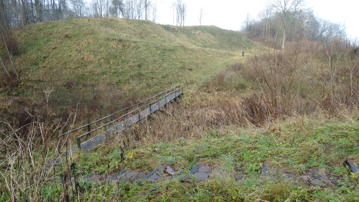
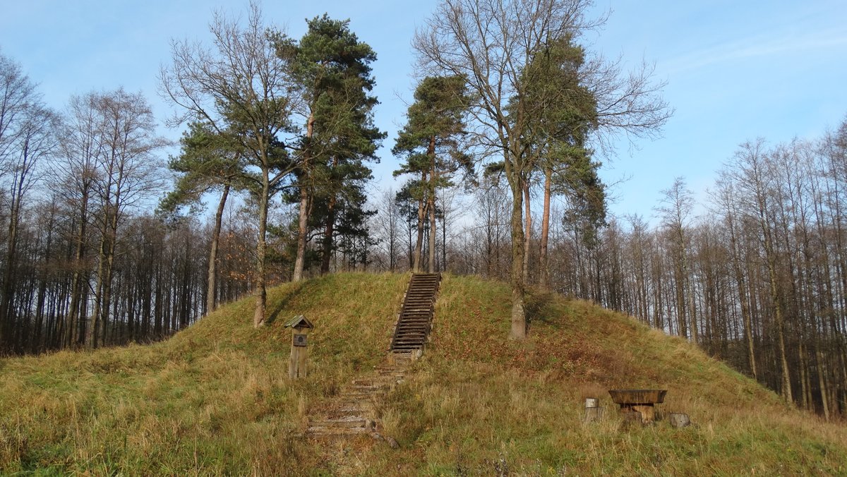
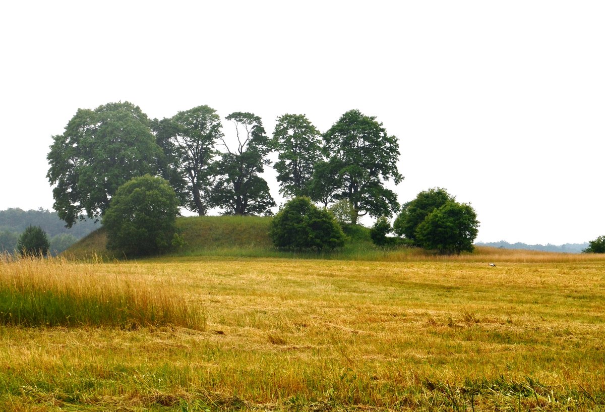
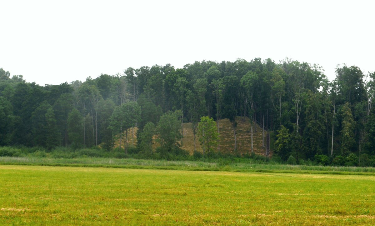
The site is characterized by an oval area elongated in an east-west direction, measuring 19x9 m. Its edges are trimmed to a height of 0.5-2 m, and the width varies between 10 and 21 m, reaching its highest point on the eastern side. To the north, a 20 m wide ditch separates the hillfort from the surrounding heights. The slopes are of medium steepness, reaching heights of 3-15 m.
The hillfort dates from the first millennium to the 13th century. A large pit was excavated on the northern side in 1944, and a path runs along the northern slope. Today, the site is covered with deciduous trees and shrubs. Records of the site appear in the 1908 work by E. Hollack and the 1973 list of cultural monuments.
Sources: Wikipedia, OpenStreetMap, Wikidata, Wikimedia Commons



Written by Nicolo Ciampini
Discuss this with the author and others
No comments yet. Be the first to start the conversation.