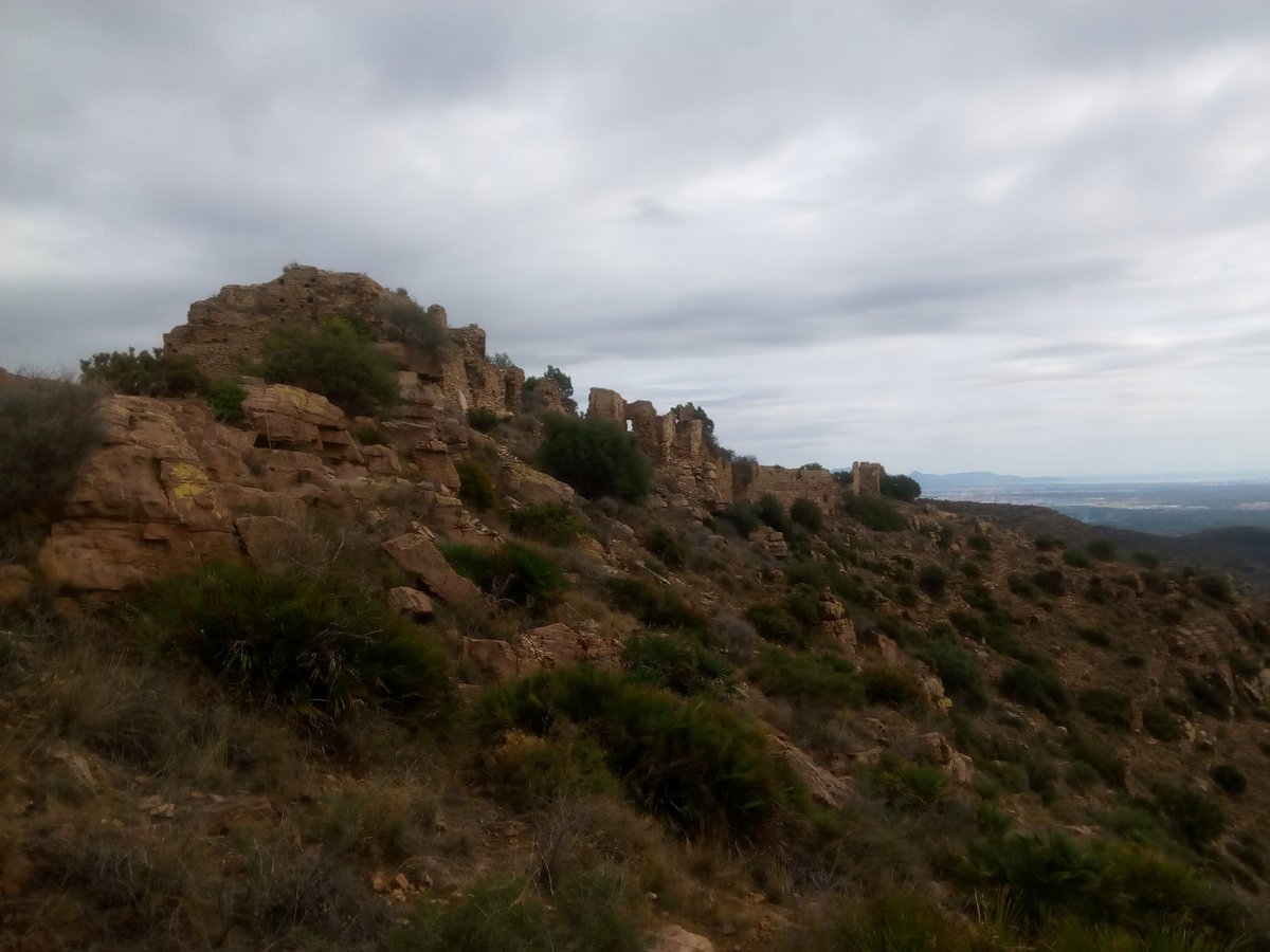

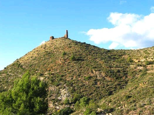
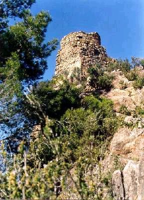
The Castillo de la Vall d'Uixó, also known as El Castell, is situated on a hill about three kilometers north of the town of Vall de Uxó in the comarca of Castellón de la Plana Baja. The site is a declared monument of cultural interest. It was used as an operations center during the civil war as part of the XYZ line fortifications.
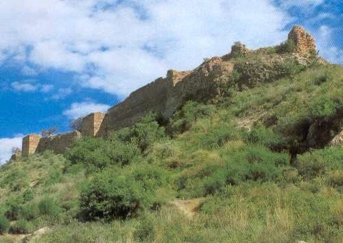
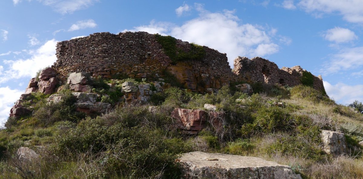
The castle sits on an isolated hill behind a hill that is currently urbanized. Access is available via the path of Anogueret and the path of the Fuente de la Cañeta. The ruins include a large enclosure about 90 meters long and 60 meters wide. Inside, there are cisterns and storage areas, with the storage area being more fortified. A royal document from 1287 mentions a Casa cubierta built for housing nearby. The masonry is made of tapial on a stone base, with works dating back to the 10th-12th centuries.
While the town's current name comes from the valley, the area was inhabited since Roman times. After the expulsion of the Moriscos in 1609, the valley was repopulated. The castle is of Muslim origin, dating from the 12th-13th centuries. The northern wall of the castle preserves a walkable perimeter path in some sections. Near the remains, a third stone enclosure measuring 250 by 110 meters can be seen, containing traces of houses.
Sources: Wikipedia, OpenStreetMap, Wikidata, Wikimedia Commons
Written by Nik Frost
Discuss this with the author and others
No comments yet. Be the first to start the conversation.