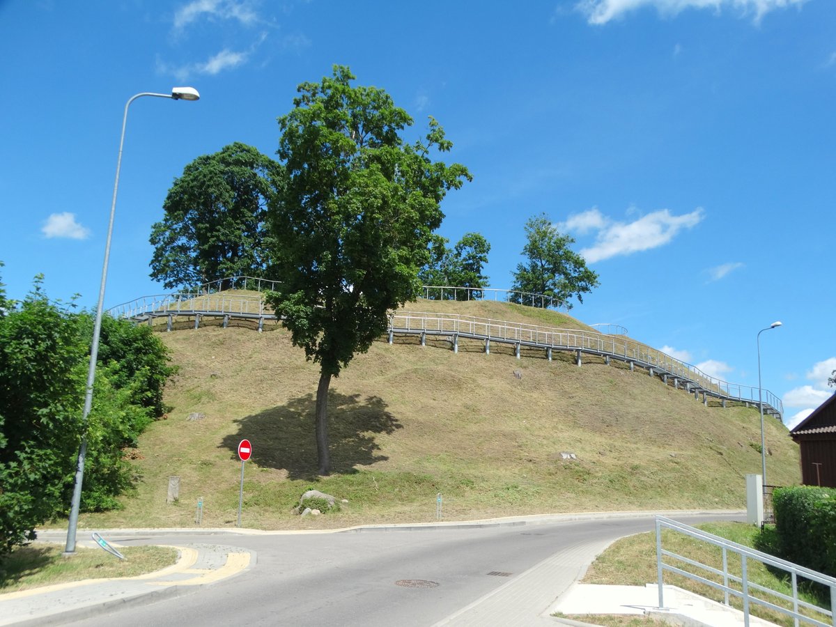

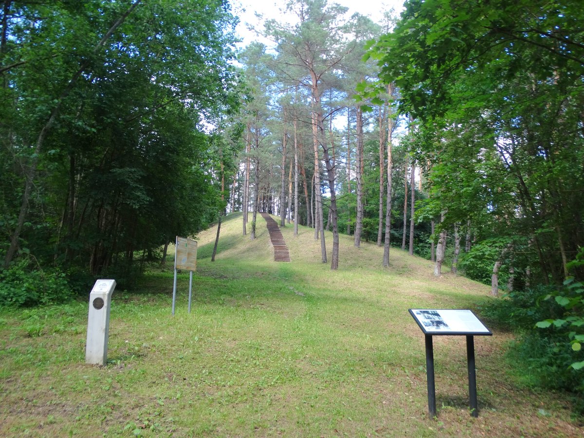
Buried from the public's gaze for centuries, the Ukmergė hillfort re-emerged in 2013. The site features an oval area that is 26 m long and 30 m wide. It is surrounded by a rampart, or pylima, that is 85 m long, 1-4 m high, and 11-24 m wide. The rampart is thinner on the northern side and reaches its highest point in the eastern part.
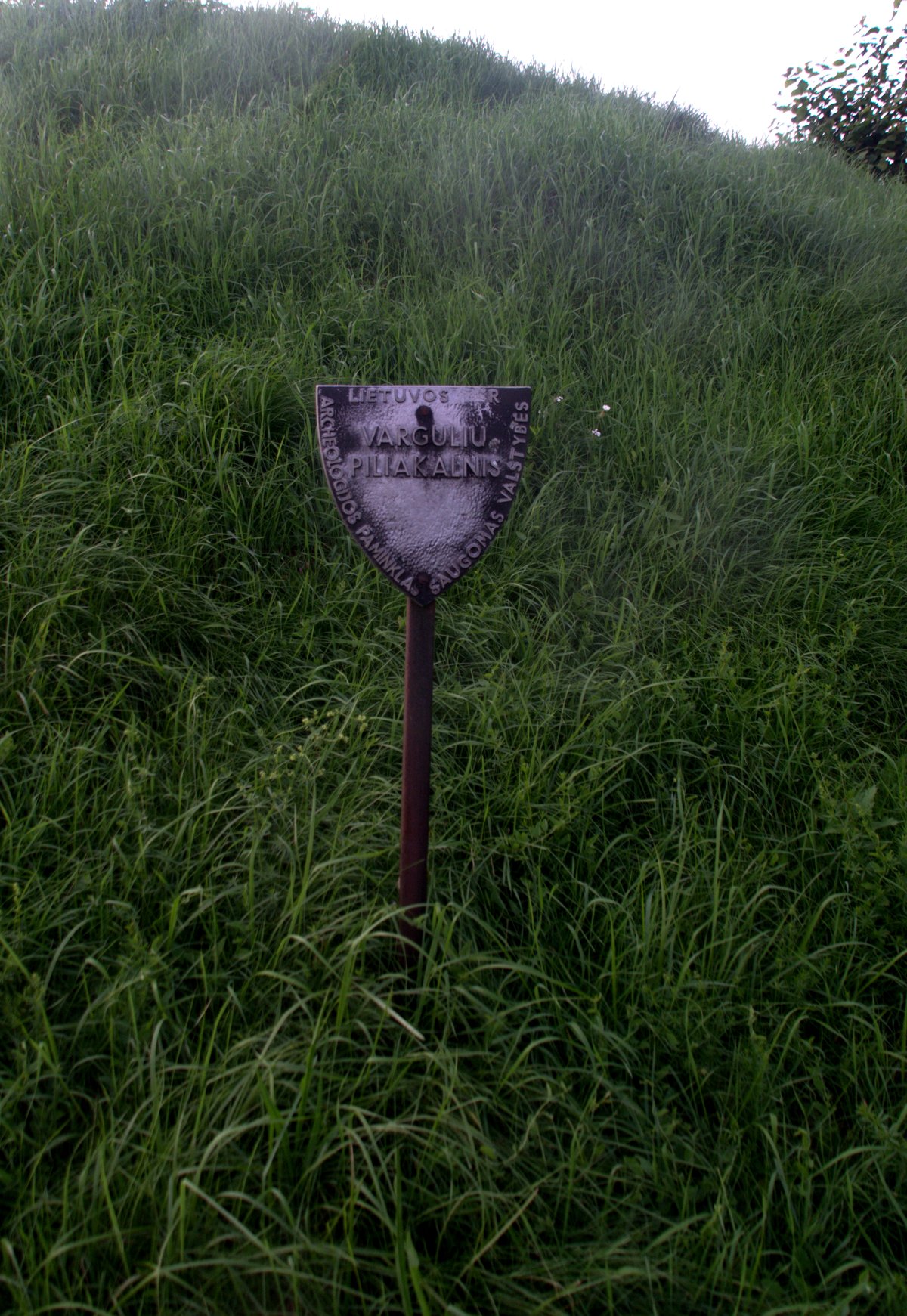
At a previous time, efforts were made to halt erosion between the years 1993 and 1995. Erosion had begun in the early 19th century. The site was officially recognized as a state-protected monument in 2005.
Historical records show that the Vilkmergės castle stood on this hillfort. The castle was occupied as early as 1385 and was later destroyed by its defenders in 1388 before being rebuilt several times in the following centuries. In 1836, trees found one above another on the site, along with a well-lining and a wooden chest.
Sources: Wikipedia, OpenStreetMap, Wikidata, Wikimedia Commons


Written by Nicolo Ciampini
Discuss this with the author and others
No comments yet. Be the first to start the conversation.