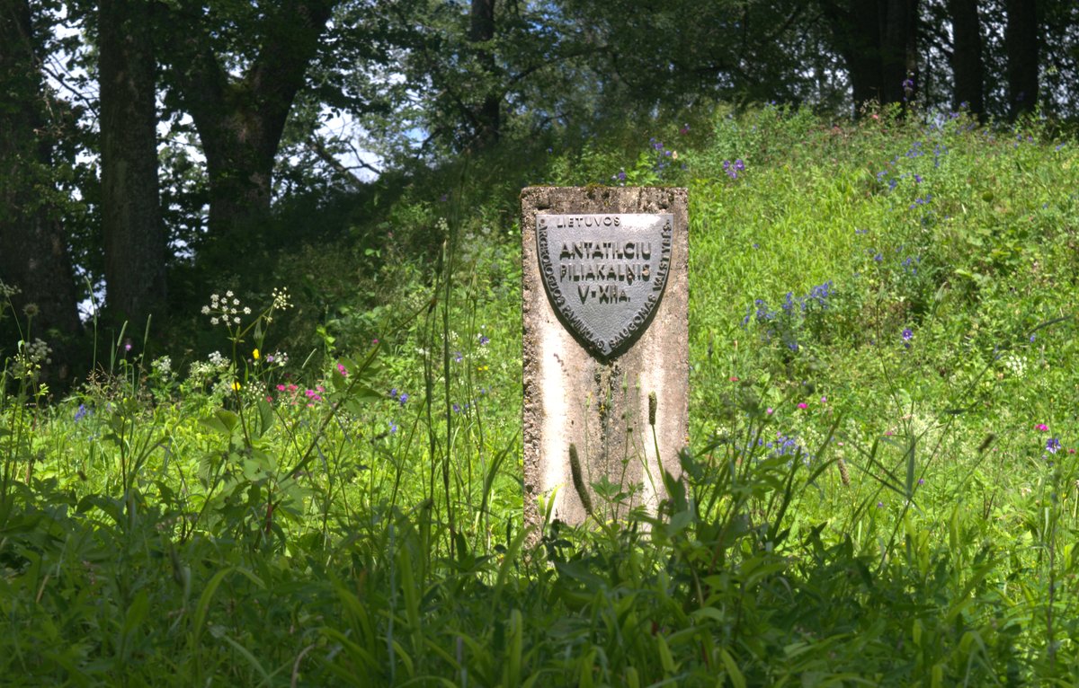

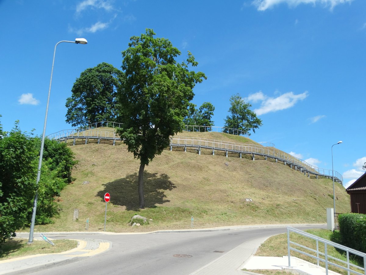
Antatilčių piliakalnis is an ancient hillfort dating back to the start of the second millennium. It is a complex, layered defensive system located on the right bank of the Plaštaka river, on a hill near the junction of the Plaštaka and Siesartie rivers.
The oval enclosure measures 52 by 17 metres, being 3 metres higher on the northern side. There is a 25-metre-long bank on the northwest side and a 30-metre-long one on the southeast side. The outer slope of the ramparts descends 2.5 - 3.5 metres into a ditch 2 metres wide and 0.5 metres deep, behind which another rampart up to 1.2 metres high is filled. Archaeological findings show that the ramparts were filled at least twice.
Archaeological digs in the late 20th century revealed layers of pottery and even some burnt branches. The site also shows evidence of a terrace, likely the remains of a second ditch and a third rampart, with a 14-metre-high slope.
Today, you can find it on the eastern edge of Antatilčiai village. Most of the original northeast slope was dug out around 1950 to build a water mill. You can still walk up the stairs built into the northwest ramparts to see the view through the sparse trees. It is reachable via a 650-metre dirt path starting from the centre of Antatilčiai.
Sources: Wikipedia, OpenStreetMap, Wikidata, Wikimedia Commons


Written by Nicolo Ciampini
Discuss this with the author and others
No comments yet. Be the first to start the conversation.