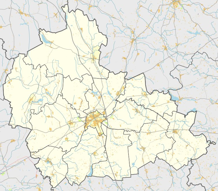

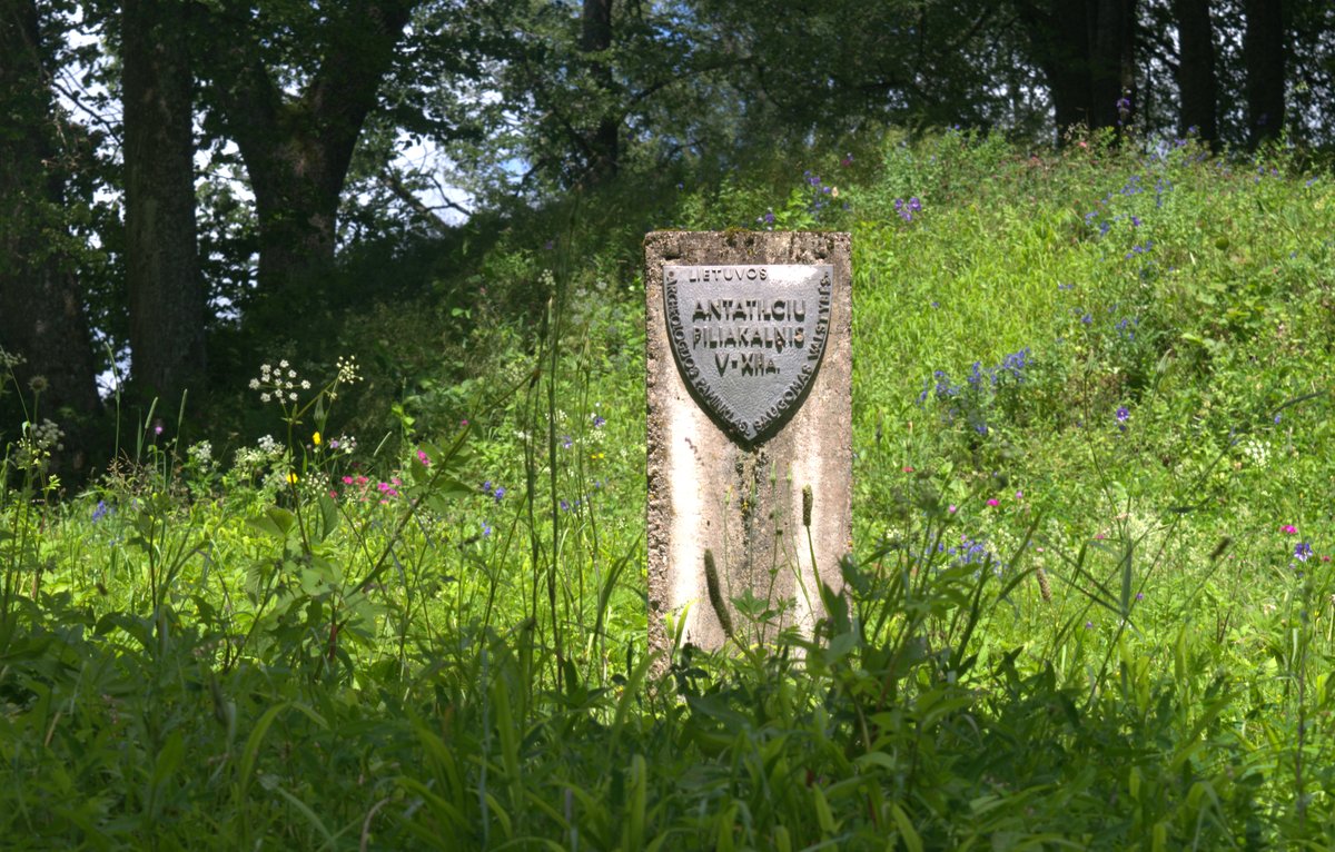
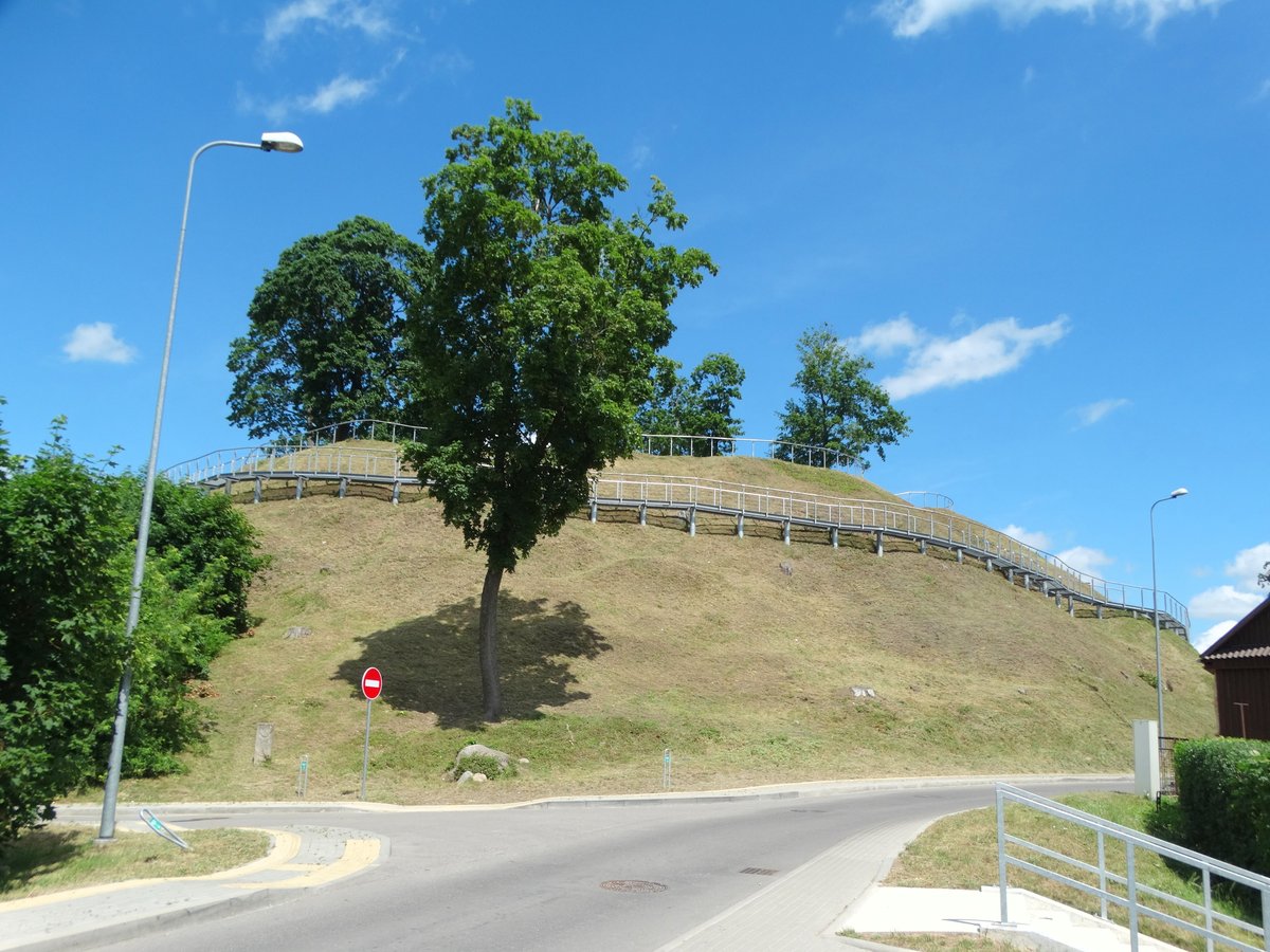
Antatilčiai II is a hillfort located on the western side of Antatilčiai village, situated at the confluence of the Siesartis and Žydaupiai rivers. The site is characterized by a triangular clearing, approximately 30 meters long and 15 meters wide in its western part. To protect this area, the inhabitants constructed two rows of mounds and ditches. One rampart measures about 20 meters long and 2.5 meters high, with an outer slope of 3.5 meters descending into a 20-meter-long ditch. Beside it, a second curved rampart stands 3.3 meters high, with an outer slope leading into a second ditch measuring 22 meters long and 8 meters wide.
The archaeological history of the site reveals several stages of occupation. Research conducted in the 1980s and 1990s identified four main settlement phases. In a cultural layer dating to the 2nd-4th centuries A.D, archaeologists found house remains, postholes, an iron scraper-chopper, and various types of pottery. During the middle of the first millennium, the site was fortified with a mound 0.75 meters high and 3 meters wide. By the second half of the first millennium, two mounds were filled with clay and protected by ditches, with wooden barriers placed in front of them.
By the beginning of the second millennium, the fortifications were significantly increased in size, with the first mound reaching a height of 2.2 meters. A double wooden defensive wall, filled with clay, was likely placed on top of the first mound. Over time, the structures were further reconstructed, with the mounds being heightened by adding clay layers and the ditches being deepened. Today, while the Siesartis river has eroded parts of the first mound, the second mound still clearly marks the site of the historical fortifications.
Sources: Wikipedia, OpenStreetMap, Wikidata, Wikimedia Commons


Written by Nicolo Ciampini
Discuss this with the author and others
No comments yet. Be the first to start the conversation.