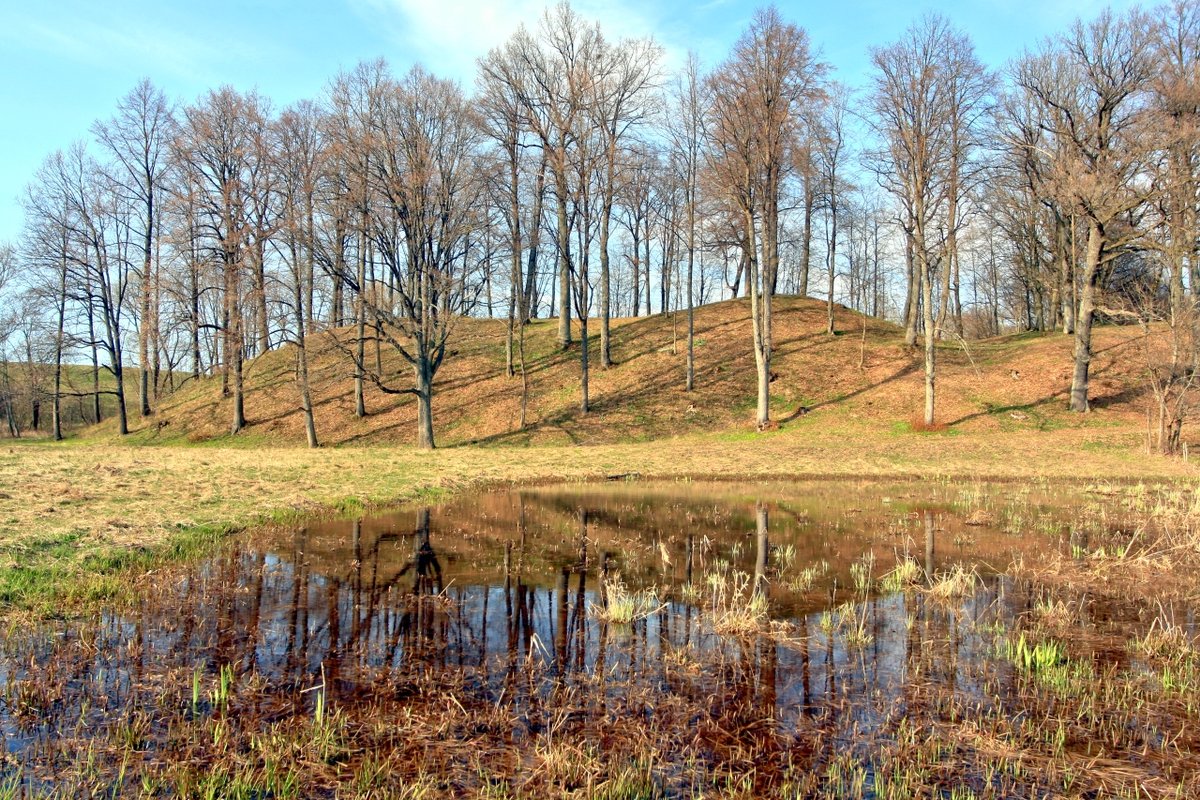

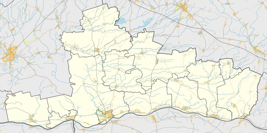
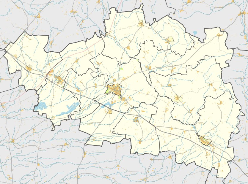
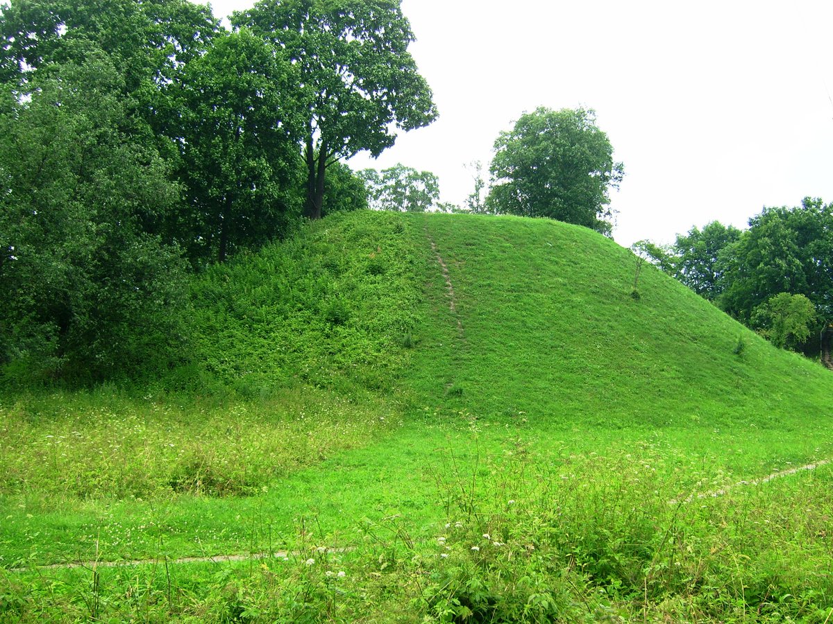
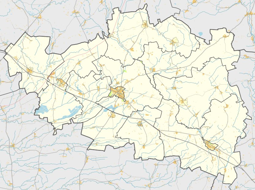
Eržvilko piliakalnis is located in the southwestern part of the town of Eržvilka, Jurbarkas district, near the river Šaltuona. The fortification is situated on the left bank of the Eržvilkų stream, in a highland promontory where it meets the Šaltuona.
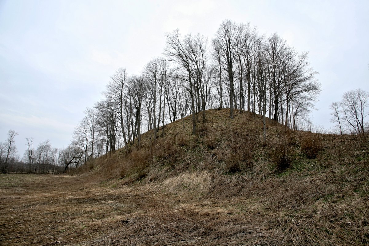
The enclosure is triangular and elongated in an east-west direction. It measures 27 m long and 20 m wide on the eastern side, while the northern side collapses into the Eržvilkos. To the east of the hillfort is a 2 m high and 17 m wide mound, which has an outer slope of 4 m that descends into a 31 m long and 14 m wide ditch.
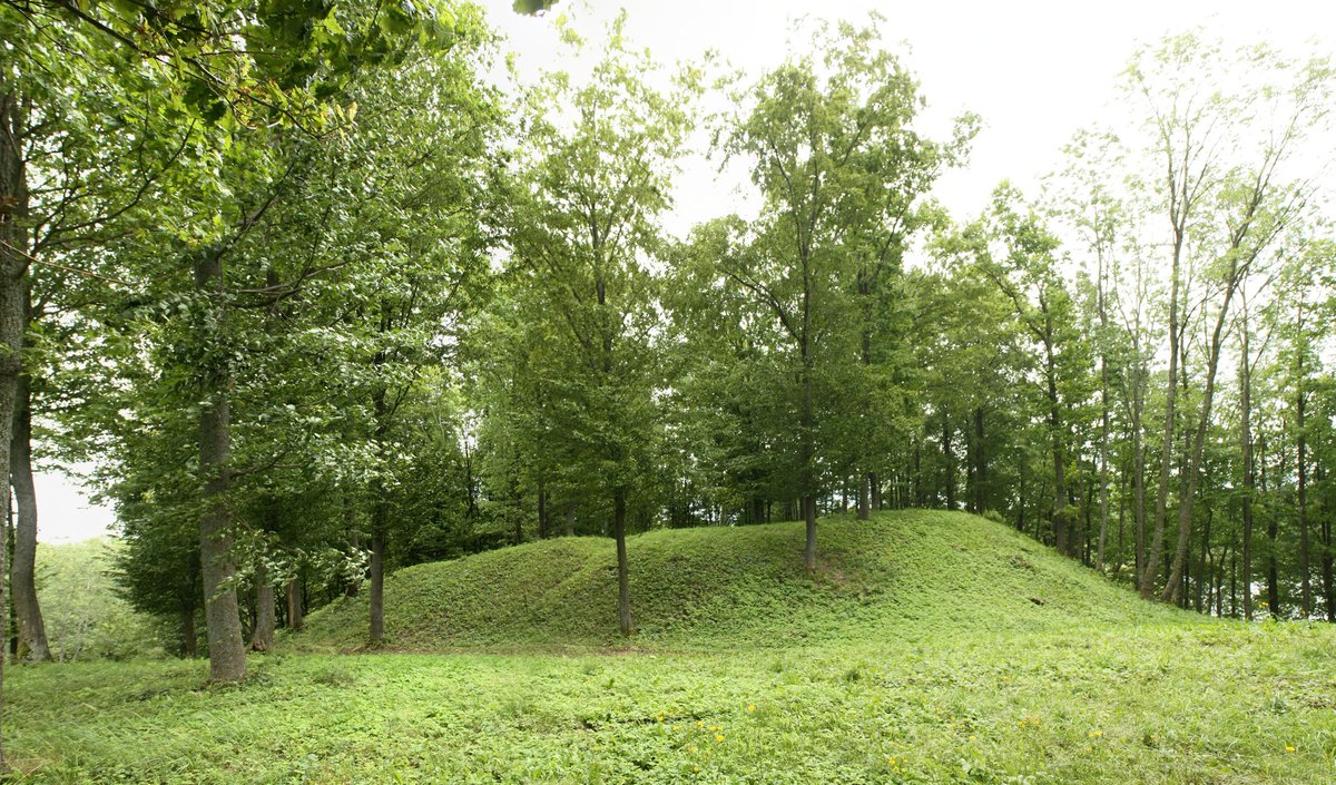
Behind this ditch is a rectangular outwork measuring 17 m long and 30 m wide, oriented in an east-west direction. Its eastern side contains a 1.5 m high and 12 m wide mound with an outer slope of 2 m. The site is partially ruined - parts of the enclosure surface are dug out, the northern part of the mound is eroded, the northern part of the outwork mound has collapsed, and the southern slope is crumbling. The hillfort is overgrown with trees and contains the burnt 1308 m. cross of the abandoned Skronaitė castle.
Sources: Wikipedia, OpenStreetMap, Wikidata, Wikimedia Commons



Written by Nicolo Ciampini
Discuss this with the author and others
No comments yet. Be the first to start the conversation.