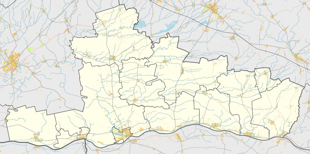

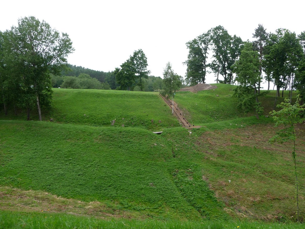
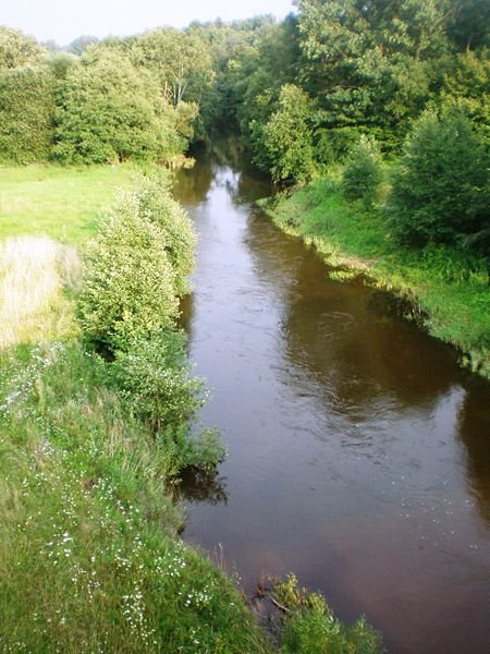
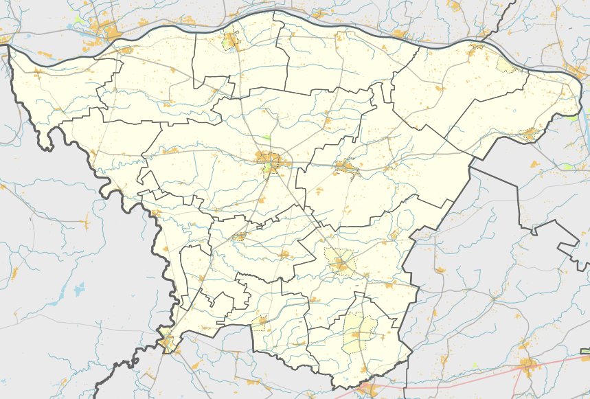
Nestled within the borders of Jurbarko rajono savivaldybės, near Meškininkų kaimo and Jurbarkų seniūnija, lies the hillfort known as Bišpiliukas. This archaeological site is situated on a high ground between the left bank of the Mitva and the right bank of the Vajota.
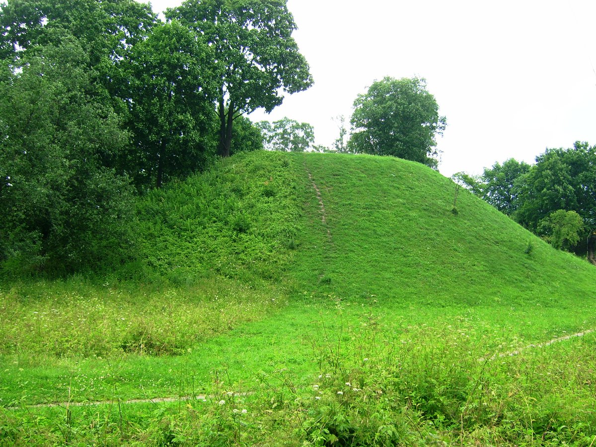
The triangular-shaped courtyard is 45 meters long and 35 meters wide in the northeast, oriented southwest to north northeast. On its northeast side stands an arch-shaped rampart 44 meters long, 2 meters high, and 13.5 meters wide. The slope of the rampart, which used to be 12-13 meters high, now remains at 9-10 meters.
Archaeological research conducted between 2003 and 2004 explored a 167-square-meter area in the southwest part of the courtyard. Excavations revealed a cultural layer up to 35 cm thick containing flat pottery, titnago debris, stone floors, and post holes. The hillfort is dated to the first millennium BC, specifically from the second half of the first millennium BC to the beginning of the second millennium BC.
Sources: Wikipedia, OpenStreetMap, Wikidata, Wikimedia Commons


Written by Nicolo Ciampini
Discuss this with the author and others
No comments yet. Be the first to start the conversation.