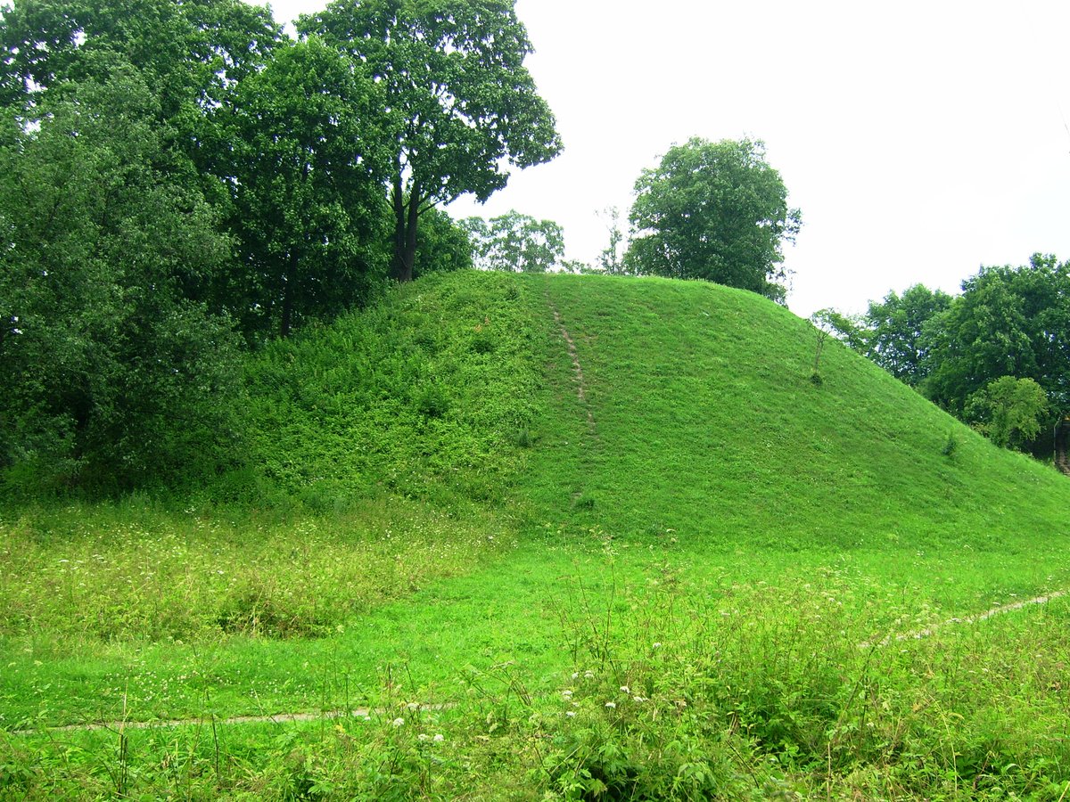

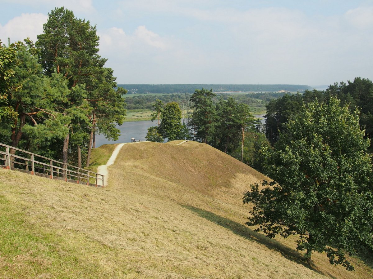
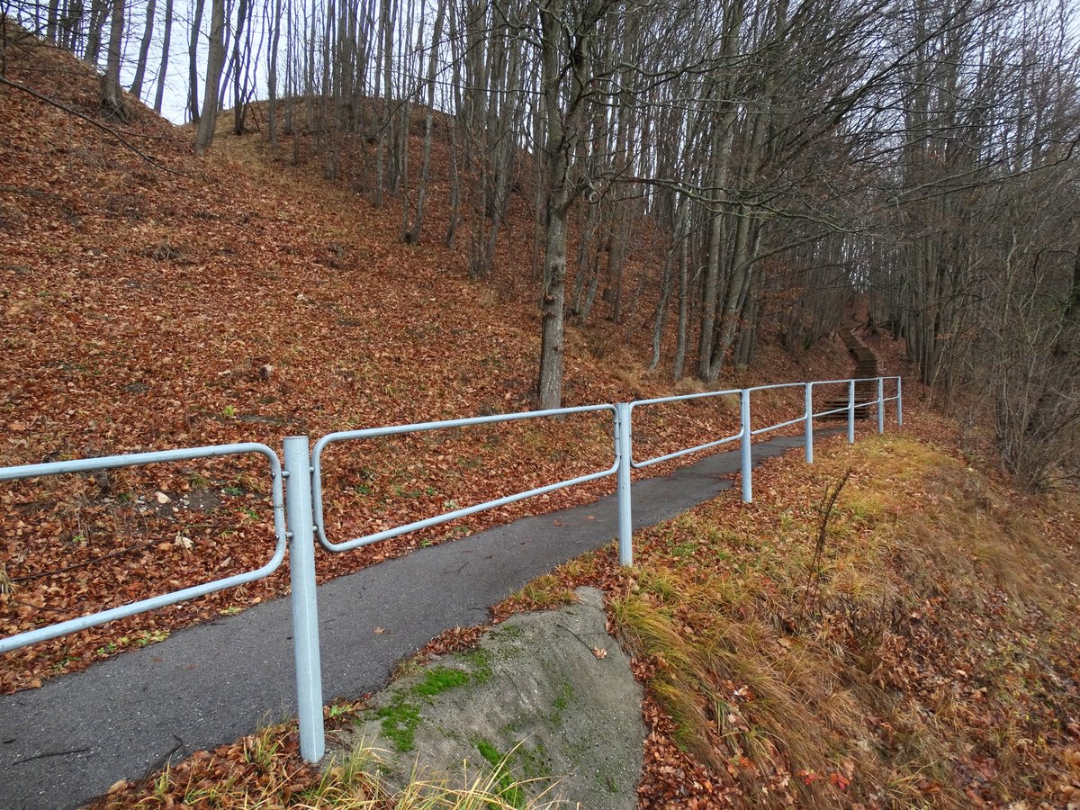
Jurbarko piliakalnis, also known as Bišpilio piliakalnis or Višpilis, is a hillfort located on the left bank of the Imsrė river. The height rises from the river to 17–20 m. The courtyard is 58x28 m in size, with a 5 m high rampart separating it from the height on the northern, eastern, southwestern, and partly southern ends.
Archaeological excavations conducted by the Lietuvos istorijos institutas in 1960 revealed pottery, rings, and arrowheads dating from the 11th to the 14th century. These artifacts, found in the courtyard and the area beyond the rampart, are preserved in the Vytauto Didžiojo karo muziejus.
History suggests that a wooden Kolainių castle stood on this hill in the late 13th and early 14th centuries as part of the defense system of the Panemuniai. In 1291, it was burned by the crusaders. Nearby, the Georgenburg castle - one of the oldest crusader castles near the Nemuno - was built in 1259 but abandoned in 1260. At roughly the same time, a castle was built on the Jurbarko piliakalnis. After the Žalgirio, the settlement began to decline. By 1422, the town became a border point and an important trade center.
Sources: Wikipedia, OpenStreetMap, Wikidata, Wikimedia Commons


Written by Nicolo Ciampini
Discuss this with the author and others
No comments yet. Be the first to start the conversation.