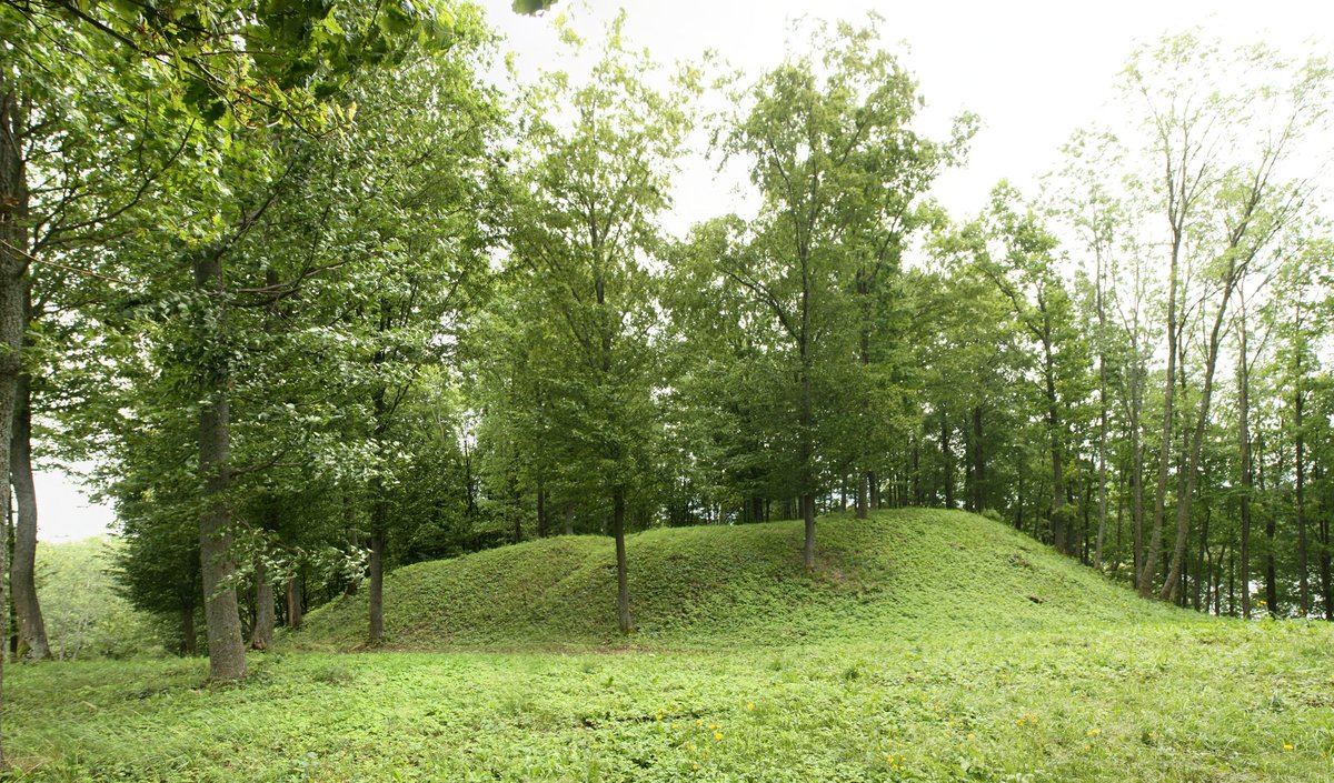
The Antkalniškių piliakalnis – a hillfort located in the territory of Jurbarko raionas savivaldybė, near Antkalniškių kaimo, Jurbarkų seniūnijoje – is a notable archaeological site. It is approached by the Kaunas–Jurbarkas–Šilutė–Klaipėda road, which passes by it 3.5 km to the right, through a pit in the hill, 100 meters to the entrance of the burial mounds, from the margin of the field 300 meters to the right, to the hill's neck, where there is a pit in the forest.
The hillfort is located on the right bank of the Nemunas river. Its oval area is 38x28 meters in size. The hillfort has a ditch 1.5 meters deep, 10 meters wide, in which an 8-meter-wide, 1-meter-deep stone ditch can be seen. The hillfort stands about 26-30 meters high and is dated to the 2nd millennium BC. Excavations of the hillfort were conducted in 1960, during which remains of residential structures and pottery from the 0.5-hectare plateau were found.
Sources: Wikipedia, OpenStreetMap, Wikidata, Wikimedia Commons
Written by Nicolo Ciampini
Discuss this with the author and others
No comments yet. Be the first to start the conversation.